Chicago air quality map
Live air pollution map of Chicago • 219.6K Followers • 05:00, Aug 03 Local time


Stations
Clean Air Facilities
Contributors
Government
2Diplomatic
0Non-profit
0Education
0Corporate
0Healthcare
0Hospitality
0Individual
38Top contributors in Chicago
Who is sharing outdoor air quality data in Chicago?
Featured station
Discover some of the best station installation in Chicago
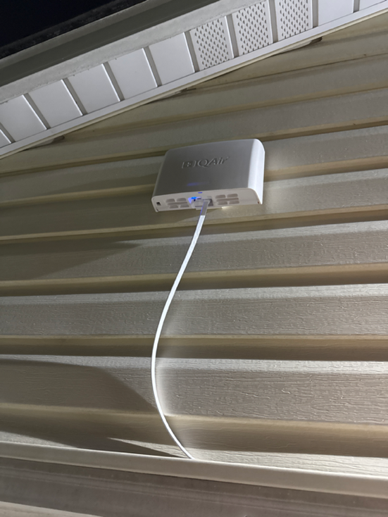
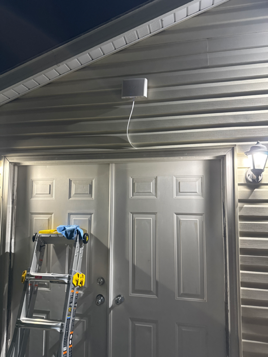
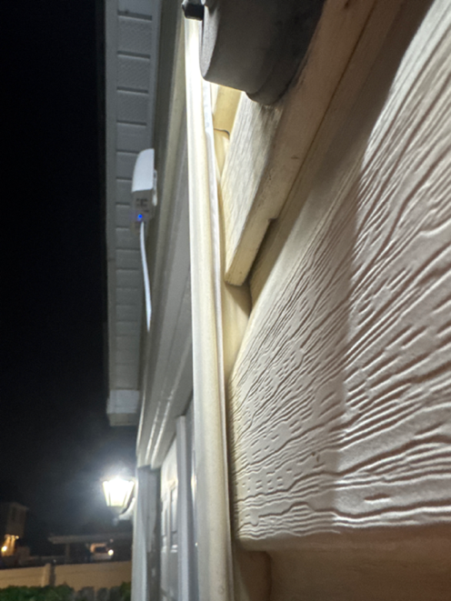
Station gallery

Mount Greenwood Park, Chicago
50
Newest stations deployed in Chicago
AQI⁺ station rankingNewest stations


Learn more about global air quality


Learn more about air pollution in Chicago
What is the air quality in Chicago?
In 2019, Chicago averaged an air quality index (AQI) of 52 (“moderate”). The US Environmental Protection Agency (EPA) defines “moderate” air quality as air potentially unhealthy to sensitive groups including children, the elderly, and people with pre-existing cardiovascular or respiratory health conditions.
AQI ratings are calculated by weighting 6 key criteria pollutants for their risk to health. The pollutant with the highest individual AQI becomes the ‘main pollutant’ and dictates the overall air quality index. Fine particulate matter (PM2.5) and ozone represent two of the most common ‘main pollutants’ responsible for a city’s AQI due to the weight the formula ascribes to them for their potential harm and prevalence at high levels.
PM2.5 pollution is fine particle pollution with a range of chemical compositions that measures 2.5 microns in diameter or less. The US EPA recommends that annual PM2.5 exposure not exceed 12 μg/m3. The World Health Organization (WHO), meanwhile, employs a more stringent standard, recommending that exposure remain below 10 μg/m3 annually. In 2019, Chicago averaged an annual PM2.5 level of 12.8 μg/m3, thereby breaching both the WHO target and the US EPA target. Chicago had not experienced such high annual exposure levels since 2012.
Chicago PM2.5 pollution ranks worst in the state of Illinois for particle pollution and 79th nationally out of 1517 metropolitan areas in the United States. This ranking places Chicago air quality in a slightly worse position than Los Angeles air quality (12.7 μg/m3), a city well known for its pollution challenges.
In addition to PM2.5 pollution, Chicago has also had difficulty complying with federal ozone standards. Ozone is a harmful gas pollutant and key component of smog, created when precursor pollutants, nitrogen oxides (NOx), and volatile organic compounds (VOCs) react in warmer temperatures and sunlight. Since temperatures over 84°F are typically required for ozone to form, it’s much more prevalent in the summer than winter.
In 2019, Chicago was deemed ‘nonattainment’ by the US EPA for exceeding 3.4 calendar days of unhealthy air pollution by more than 5 times with an average of 19.2 unhealthy ozone days per year.1 The State of the Air report from the American Lung Association gave Chicago’s Cook County an ‘F’ rating for ozone and found the city to rank 16th for high ozone out of 229 included metropolitan areas.
While year-over-year trends and averages provide insights into air quality levels in Chicago, real-time and forecast data should be monitored for actionable insights to address ever-changing pollution levels. Chicago forecast air quality data is presented at the top of this page beneath the city overview.
Has air quality improved in Chicago?
Chicago has a long history of unhealthy air pollution dating back to the city's industrialization in the late nineteenth century. During this period, Chicago came to rely on dirty coal sourced from southern Illinois to heat buildings, run motor engines, and power steel mills.2 The soot produced by burning dirty coal shrouded the city in a dense toxic cloud, increasing instances of pneumonia, asthma, and heart and lung diseases. As early as 1881, regulations were put in place to combat Chicago’s air pollution problem. Chicago was among the earliest cities to do so. While these regulations set a precedent for legislating cleaner air, it wasn't until coal usage began to decline after World War II that more significant pollution reductions were realized.
In 1959, Chicago established the Department of Air Pollution Control to investigate and regulate emission sources. Subsequent regulations, including the federal Clean Air Act of 1970, and more recent city and state legislation have helped further mitigate city-wide emissions. Today, Chicago air pollution levels are a small fraction of their historical levels.
Despite a long-term trend of improving air quality in Chicago, recent years show a worsening trend. Particle pollution has nearly doubled since 2017, rising from 6.7 μg/m3 in 2017 to 9.4 μg/m3 in 2018 and 12.8 μg/m3 in 2019.
While these year-over-year gains can’t be attributed to any specific pollution events, the suburbanization of the city and its dependence on motor vehicles have plagued Chicago air quality with transport emissions.3 In recent years, transport emissions have been on the rise. In addition to producing PM2.5, gas-powered transport also emits nitrogen oxides and reactive organic substances, precursors for ozone — another pollutant on the rise.
The 2019 State of the Air report found that Chicago experienced 14 days of unhealthy ozone in 2019, increasing from 9.8 unhealthy days the year before. As global warming elevates city-wide temperatures, ozone pollution is expected to become even more prevalent, as conditions required for its formation become more frequent.
During the COVID-19 pandemic, numerous global locations experienced improved air quality as a result of lockdown measures taken to reduce the spread of the virus. According to an analysis provided by the Chicago Tribune, air quality levels only improved by 1% in April 2020 as compared to the same period in 2019.4 Moreover, April 2020 was dirtier than April of 2016 and 2017. While weather can impact pollution averages and account for some differences, it is believed that diesel truck and train activity, which remained fairly consistent throughout the lockdown and pollute more on average than passenger cars, may be to blame.
Why does Chicago have unhealthy air quality?
With nearly 10 million residents, the city of Chicago is the third most populous city in the United States. Like many large cities, transportation and the daily emissions from residents contribute significantly to Chicago air pollution.
Chicago is a major national hub of transport at the crossroads of the country’s rail, road, and air traffic. The Chicago area has the most federal highways and is the second-most visited city in the country, with one of the busiest airports in the world (O’Hare International Airport).5,6 In recent years, transport emissions stemming from planes, trains, boats, automobiles, and locomotives have overtaken highly regulated coal as the city’s largest emission source.
Temperature inversions caused by a warm air layer topping a cooler air layer below can further exacerbate Chicago AQI levels. These weather events are not uncommon during the summer when cooler air from Lake Michigan is prevented from dispersing from under the warm air above, causing pollution to accumulate. June and July were among the most polluted months in 2019, with PM2.5 levels of 13.3 μg/m3 and 15.1 μg/m3, respectively.
Take a look at Chicago’s air pollution map to discover the impact of local emission sources like domestic heating and transportation on PM2.5.
Why is Chicago air quality bad today?
In 2019, Chicago air quality was rated dirtier than Los Angeles, a city notorious for its struggles with air pollution. While this overall rating was made on the basis of PM2.5 pollution, Chicago also topped Los Angeles, the smoggiest city in the US, for ground-level ozone (smog) in July.
While both cities struggle to meet federal attainment levels for pollution measures, their struggles are different. Chicago PM2.5 emissions are largely the result of diesel transport, followed by passenger vehicles, industry, and winter wood burning. Its location in the Midwest on the shore of Lake Michigan makes the city prone to temperature inversions – more specifically, cool air inversions and marine inversions. Temperature inversions occur when cool surface-level air becomes trapped by a warmer air layer above, preventing normal pollution dispersion. Marine inversions occur most often in the summer when cool ground-level air is created by wind blowing in from Lake Michigan. Cool air inversions, on the other hand, occur in the winter when snow-coverage contributes to freezing ground-level air.
When temperature inversions are combined with high emissions, the effect can be dangerous. During inversions, emissions linger and accumulate until ground-level air warms to temperatures higher than the air layer above it.
Among neighboring cities, Chicago PM2.5 levels stand out as the worst. In 2019, Chicago averaged an annual PM2.5 concentration 12.8 μg/m3, while neighboring cities averaged:
- Naperville, IL air quality: 10.9 μg/m3
- Hammond, IL air quality: 10.9 μg/m3
- Grand Rapids, MI air quality: 8.6 μg/m3
- Milwaukee, WI air quality: 8.5 μg/m3
In the summer, Chicago also suffers from high ozone levels. Satellites, which track emissions and temperatures, have noted a rise in both. This effect is due to climate change, which has risen temperatures in recent decades, prolonging the ozone season. June 2020 recorded the most “unhealthy” ozone days since 8 years earlier in 2012.7 Seven of the first 9 days in July, meanwhile, were deemed “unhealthy for sensitive groups,” indicating that children, the elderly and those with pre-existing heart and lung conditions were more prone to experiencing adverse health effects as a result.
What is the City of Chicago doing about air pollution?
Air pollution is a complex problem requiring a multifaceted approach. Over the last three decades, the United States federal government, State of Illinois, and City of Chicago have legislated for cleaner air. During this time, the frequency of unhealthy ozone days has fallen 33 percent from 28.5 unhealthy ozone days annually between 1996-1998 to 19.2 unhealthy ozone days between 2006-2008. The frequency of unhealthy PM2.5 days has also fallen 97 percent from 25.3 unhealthy PM2.5 days annually between 2000-2002 to 0.7 unhealthy PM2.5 days between 2006-2008.
While significant improvements have been made, air pollution levels in Cook County and Chicago remain “unhealthy” by EPA standards. Current clean air efforts spearheaded by the City of Chicago include:8,9
- Biking for commuting: increasing the accessibility and attractiveness of biking via 117 miles of maintained on-street bike lanes.
- Alternative fuels: promoting compressed natural gas, E85, propane, and biodiesel fuels as cleaner alternatives to traditional gasoline.
- Diesel Retrofit Program: includes new clean diesel requirements.
- Idling reduction of diesel vehicles: limiting diesel trucks to three minutes of idling within a sixty-minute period.
- Electric vehicles: providing charging locations for owners of electric vehicles and incentives for purchasing electric vehicles.
- Permitting and inspection of high-emitting industries
- Enforcement of clean air policies and regulations
+ Article Resources
[1] New report: Chicago now ranked 18th most polluted city in the U.S.. (2019).
[2] Encyclopedia of Chicago - air quality. (2020).
[3] Milando C, et al. (2017). Trends in PM2.5 emissions, concentrations and apportionments in Detroit and Chicago. DOI: 10.1016/j.atmosenv.2016.01.012
[4] Hawthorne M. (2020, May 4). Many cities around the globe saw cleaner air after being shut down for COVID-19. But not Chicago. Chicago Tribune.
[5] Manners-Bell J. (2017). Introduction to global logistics: delivering the goods.
[6] Annual traffic data – 2015 Preliminary. (2020).
[7] Hawthorne M. (2020, July 10). Chicago air is dirtier in July than smog-choked Los Angeles. More bad air is forecast. Chicago Tribune.
[8] Chicago Department of Public Health. (2020). Pollution Prevention Unit. The City of Chicago.
[9] City of Chicago. (2020). Environment and sustainability.
Where is the cleanest air quality in Chicago?
- Kappa1
- Prairie District, South Loop, Chicago6
- LUC Loyola Hall10
- 6101-6199 N Knox Ave12
- 36th and Paulina13
- 2215 W Cortez St16
- 5131-5147 N Christiana Ave16
- Wells & Ontario Bus Station18
- S 37th St and S Wallace St19
- CHI_TAFT20
- Wicker Park, Chicago20
- Honore and Avondale22
- Roof deck22
- 3664-3700 S Iron St23
- Chicago-Logan Square23
- Milwaukee/Division/Paulina23
- Ravenswood24
- 99-65 W 57th Pl25
- Lake View25
- 35th and Wolcott26
- Chicago - SWFP26
- Jeff Park26
- S. Ashland Ave. and 45th27
- South Side27
- Lakeview, Chicago28
- West Town28
- 3943-3939 S Archer Ave29
- CHI_SP30
- CHI_COM31
- Logan Square31
- Mayfair Collocation 332
- 3801-3899 N Lawndale Ave33
- Avondale33
- Soldier Field33
- 2116-2100 N St Louis Ave34
- Avondale station34
- Andersonville37
- Little Village Lawndale High School37
- South Loop42
- Mount Greenwood Park50
- Avalon Park station54
- West Albany Park, Chicago54
- Portage Park - Chicago56


