Tulsa air quality map
Live air pollution map of Tulsa
3.5K people follow this city
Full screen
Contributors
2
Stations
3
Contributors category
1
Government
0
Non-profit organization
0
Educational
0
Corporate
0
Individual
1
Anonymous
Most polluted air quality stations
| # | station | US AQI |
|---|---|---|
| 1 | Tulsa Firestation 24 | 41 |
| 2 | South Atlanta Place | 40 |
| 3 | Lynn Lane | 27 |
community highlight
Tulsa most followed contributors
Health Recommendations
| Enjoy outdoor activities | |
| Open your windows to bring clean, fresh air indoors GET A MONITOR |
Become a contributor
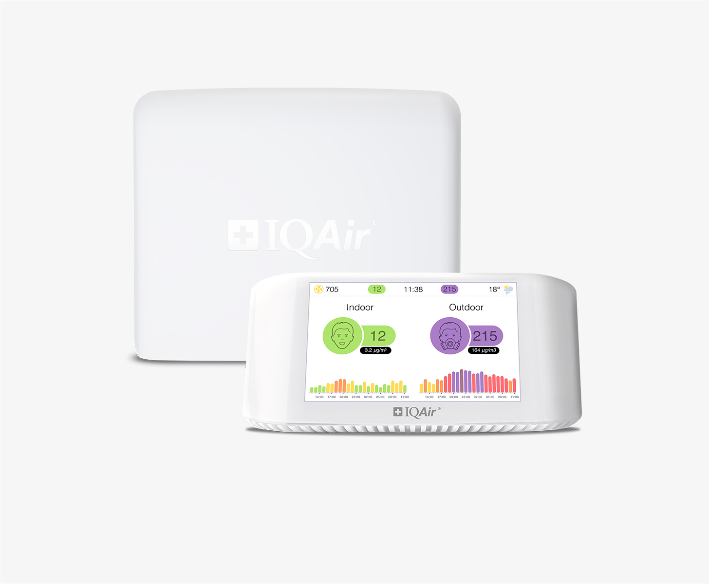
Get an AirVisual Outdoor and contribute to collecting millions of data points for the Tulsa map to track local air pollution
Understand air pollution and protect yourself
Tulsa MAP AIR QUALITY ANALYSIS AND STATISTICS
What valuable information regarding air quality can be found on the air pollution map for Tulsa?
There is a wealth of interesting information regarding air quality which can be seen on the air pollution map for Tulsa. This page is easy to access from the main city page. Clicking on the air pollution map will open a new page which is filled with all relevant information about the current air quality.
The viewer cannot help but notice the strong colouration of the map which, in itself, is an indication of the current air quality. The colours range from pale green to dark maroon and the darker colours represent worsening air quality. The meaning of the various colours can be seen at the foot of the page and are standard across the IQAir website. There are also several coloured discs scattered across the map which show the locations of all the ground-level air monitoring stations. These discs all display a number at their centre which is the United States Air Quality Index reading or US AQI for short. This reading is calculated by taking the measurements of six of the most commonly found pollutants found suspended in the air. These pollutants are usually, but not always Particulate Matter (PM2.5 and PM10), nitrogen dioxide, sulphur dioxide, carbon monoxide and ozone. The whole system is endorsed by the World Health Organisation (WHO) and is used when making comparisons of air quality between different places.
In the coloured banner at the top of the main city page is shown the current air quality which at the start of 2023 was “Moderate” with a US AQI reading of 84. The main pollutant was PM2.5 which is often used as a standard when comparing air quality. Its recorded level was 27.6 µg/m³ which was five and a half times higher than the recommended target figure of 5 µg/m³ as suggested as being acceptable by the WHO.
Immediately below the air pollution map for Tulsa is seen the number of contributors there are and the number of stations they operate to extract the data needed to make their calculations. Currently, there are three contributors who operate three stations. One is the government department known as the Oklahoma Department of Environmental Quality and the remaining two prefer to remain anonymous.
Is there any more fantastic information about air quality on the air pollution map for Tulsa?
There is much more fascinating information about air quality on the air pollution map for Tulsa, but in order to see all of it, the page needs to be viewed in full-screen mode. This is relatively easy to do by selecting the icon at the top of the page and it will expand to fit the screen.
Once viewed in this way, a list of four options will be visible on the left-hand side of the screen. These can all be turned on or off to get a better idea of the effects they have on the map.
Option one shows the locations of all the ground-level air monitoring stations in and around the area although not all of them will be over the city. Each of these discs can be selected whereupon a new page will open which will show more information about air quality in that specific area of the city. The second option shows if there are any wildfires burning out of control in the vicinity. At the start of 2023, there were no such icons on the map, however, if there were then option number four needs to be looked into because it shows the speed and direction of the prevailing winds and might give an indication of where the smoke will blow.
The third option changes the background colour of the map to reflect the current state of the air. Some may find this a little overpowering and possibly confusing. In which case, the option can be deactivated and the map will revert to standard colouration.
The other information can be found on the right-hand side of the page. It takes the form of a table which ranks the top seven most polluted cities across the globe. If this is of interest then further exploration can be done by checking out the full ranking link when another page will open showing the levels of air pollution in all participating cities.
Can areas of higher levels of air pollution be identified on the air quality map for Tulsa?
Areas of high levels of pollution can be found by looking for the disc with the darkest colour or highest US AQI reading. Alternatively, by scrolling down the page to below the air pollution map for Tulsa can be seen a list in descending order of all the stations and their level of air quality. Currently, the most polluted area of the city is around the Tulsa Firestation 24 which returned a US AQI reading of 14. Even so, this figure is still classed as being “Good”.
Below this list is a table which shows where the most popular stations are and the number of followers they have. Currently, this is the Tulsa Firestation 24 with 456 loyal followers.
Are the main pollutants shown on the air quality map for Tulsa?
These main pollutants are not shown on the air pollution map for Tulsa but it is known that ground-level ozone and particulate matter are the two pollutants that cause the most concern.
Ozone is particularly dangerous as it causes irritation to the respiratory system which leads to coughing, sore throat and burning through the airways. It drastically reduces lung function which leads to wheezing and shortness of breath. Ozone exacerbates asthma and can induce attacks. Some groups of people are more prone to these detrimental effects such as those with pre-existing respiratory conditions, older adults and children who tend to be closer to the source of pollution due to their lower height.
Particulate matter is composed of microscopic solids or liquid droplets that are so small that they can travel deep into the lungs and cause serious health problems. When exposed to these small particles, people with heart or lung diseases and older adults are more at risk of hospital and visits to the doctor or, in some cases, even death from heart or lung disease. Even healthy people may experience temporary symptoms from exposure to elevated levels of particles. Symptoms may include irritation of the eyes, nose and throat, coughing, chest tightness and shortness of breath.
Tulsa air quality data attribution
2Contributors
 Oklahoma Department of Environmental Quality
2 stations
Government Contributor
 1 Anonymous contributor
1 station
Anonymous Contributor
3 Data sources


