
Air Quality 
Air Monitors
Air Purifiers
For Business
News
Support

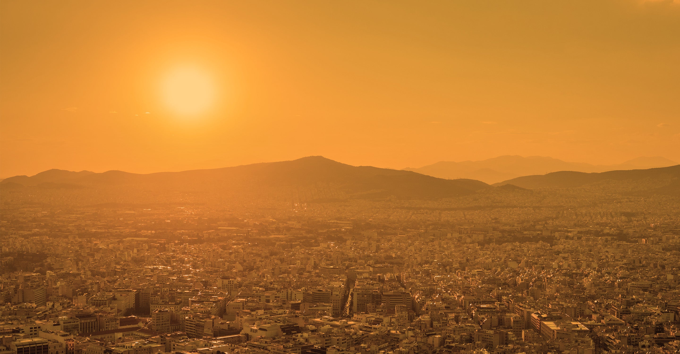
Louisville air quality map
Live air pollution map of Louisville
22.1K people follow this city
Live
Good
Moderate
Unhealthy for sensitive groups
Unhealthy
Very unhealthy
Hazardous
Full screen


Contributors
19
Stations
19
Contributors category
1
Government
0
Non-profit organization
0
Educational
0
Corporate
2
Individual
16
Anonymous
Most polluted air quality stations
| # | station | US AQI |
|---|---|---|
| 1 | Rocky Flats - N - 16600 W. Colo. Hwy. 128 | 42 |
| 2 | Coal Creek Ranch | 25 |
| 3 | Hoptree Court | 25 |
| 4 | Heritage 2 : S Cleveland | 20 |
| 5 | South Jefferson Avenue | 19 |
| 6 | Via Appia Way | 19 |
| 7 | Pine Street Park Outdoors | 18 |
| 8 | South 104th Street | 18 |
| 9 | Cleveland Avenue | 17 |
| 10 | Crestview Court | 17 |
Health Recommendations
 | Enjoy outdoor activities |
 | Open your windows to bring clean, fresh air indoors GET A MONITOR |
community highlight
Louisville most followed contributors


Become a contributor
Get an AirVisual Outdoor and contribute to collecting millions of data points for the Louisville map to track local air pollution
News
The latest air quality news and resources.


Understand air pollution and protect yourself
Louisville air quality data attribution
19Contributors
Government Contributor
- Dilan Weerasinghe
1 station
- John Salzman
1 station
2 Individual Contributors
 16 Anonymous contributors
16 stations
16 Anonymous Contributors
 Data validated and calibrated by IQAir
Where is the cleanest air quality in Louisville?
- Rocky Flats - N - 16600 W. Colo. Hwy. 128 42
- Coal Creek Ranch 25
- Hoptree Court 25
- Heritage 2 : S Cleveland 20
- South Jefferson Avenue 19
- Via Appia Way 19
- Pine Street Park Outdoors 18
- South 104th Street 18
- Cleveland Avenue 17
- Crestview Court 17
- Manorwood Court 17
- Matchless Street 17
- Sagebrush Way 17
- West Hickory Street - NNRD 17
- 2095 Eisenhower Drive 15
- West Oak Court 2 15
- 601 St Andrew 14
- West Tamarisk St 12
- Guided Adventures 11


