
Monterey air quality map
Live air pollution map of Monterey • 9 Followers • 13:00, Jun 05 Local time
Stations
Clean Air Facilities
Contributors
10
Government
0Diplomatic
0Non-profit
0Education
0Corporate
0Healthcare
0Hospitality
0Individual
10Top contributors in Monterey
Who is sharing outdoor air quality data in Monterey?
#
Contributor
Followers
1

Sally Robins
Individual
Featured station
Discover some of the best station installation in Monterey
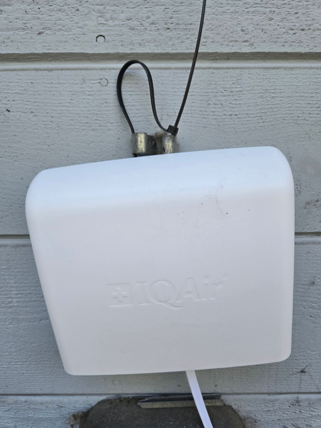
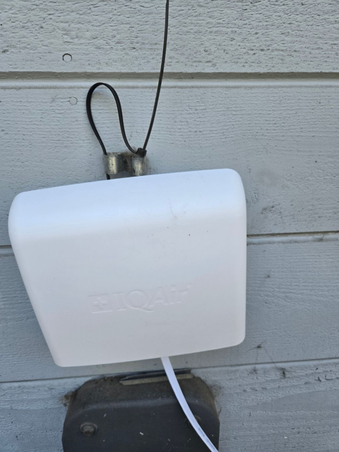
Station gallery

Deer Flats, Monterey
58
Newest stations deployed in Monterey
AQI⁺ station rankingNewest stations


