
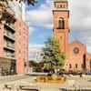
Manchester air quality map
Live air pollution map of Manchester • 93.3K Followers • 22:00, Jul 23 Local time


Stations
Clean Air Facilities
Contributors
Government
1Diplomatic
0Non-profit
0Education
0Corporate
0Healthcare
0Hospitality
0Individual
2Top contributors in Manchester
Who is sharing outdoor air quality data in Manchester?
Featured station
Discover some of the best station installation in Manchester
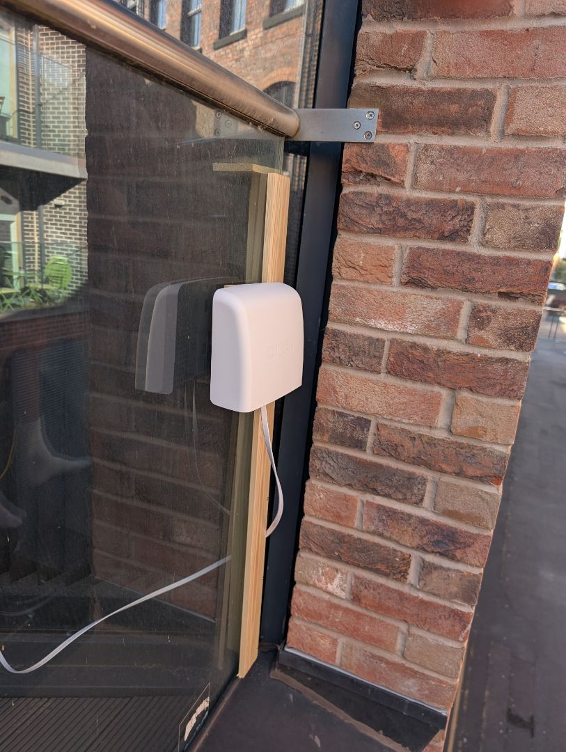
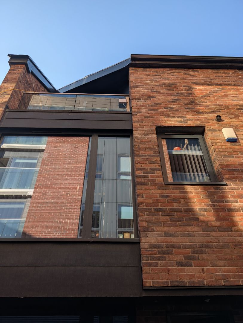
Station gallery

Loom Street Ancoats Air Quality, Manchester
53
Newest stations deployed in Manchester
AQI⁺ station ranking


Learn more about global air quality


Learn more about air pollution in Manchester
How bad is the level of pollution in Manchester?
Manchester is a city in the mid region of England with a population of over half a million people, as of 2018. It has a long history of being an industrial center, with many factories and textile manufacturers featuring prominently as part of the cities heritage in the 1800’s. When observing the levels of pollution today, it can be seen that whilst the air quality might not be as afflicted as it was during the industrial revolution era, there are still certain times of the year when pollution, or PM2.5 levels rise to more than double that of other months.
PM2.5 refers to particulate matter that is 2.5 or less micrometers in diameter, being around 3% the diameter of an average human hair. Due to this extremely small size and the health implications of microscopic pollutants being in the air, it figures largely in the calculation of overall levels of air quality, as well as being a unit of measurement in its own right.
To observe the readings taken over 2019, it came in with a yearly average of 10.5 µg/m³, putting it into the ‘good’ rating bracket, which requires a PM2.5 of anywhere between 10 to 12 µg/m³ to achieve, giving it a fine margin of entry. This is a respectable rating, placing it at number 2414 in terms of all the cities ranked worldwide in terms of their pollution levels. It also came in at 43rd place out of all cities ranked in the United Kingdom over 2019.
Whilst it came in with a good yearly average, with years prior to that being similar and also even cleaner (with a 2017 average of 9 µg/m³), there were several months out of the year that came in with slightly higher readings of PM2.5. January, February and April all came in with ‘moderate’ ratings of pollution, with a high of 19 µg/m³ being recorded in April. This shows that whilst the air quality in Manchester is very good, with many of its months falling into the world health organizations (WHO) target bracket of readings between 0 to 10 µg/m³, it still stands to reason that there are times of the year where pollution spikes occur, and can thus expose people to unwanted and potentially detrimental levels of pollution.
What are some of the main causes of pollution in Manchester?
Manchester finds a majority of its pollution coming from a few main sources, which would be responsible for the spikes in PM2.5 seen across certain months of the year, as well as its geographical and city-based terrain not being particularly conducive in allowing pollution to disperse properly. One of the main sources contributing to declines in air quality would be vehicular emissions, with exhaust fumes containing large amounts of noxious chemicals that can accumulate in areas of heavy traffic whereby they enter the air, often undergoing chemical reactions with other pollutants in the air to create a wider variety of atmospheric contamination.
The number of cars, buses, trucks and motorbikes that inhabit the road often give out large concentrations of pollutants such as nitrogen dioxide (NO2) as well as sulfur dioxide (SO2), with sulfur dioxide being responsible for contributing to acid rain that causes a large amount of erosion damage to buildings around the city. During rush hour traffic, those who are caught in the jams can be exposed to much larger concentrations of PM2.5 than others that have the good fortune of avoiding such commutes. Of note is that all this pollution is concentrated on the ground level, between vast buildings that act as a pollution trap. In times past, a majority of the pollution would have come from roofs and chimney stacks whereby it would still pollute the atmosphere, but have a less directly damaging effect on its inhabitants who have to navigate the streets below.
Other sources would include modern industries, with a large number of factories still relying on fossil fuels (coal in particular) to provide their energy. The combustion of coal can lead to pollutants such as black carbon and volatile organic compounds (VOC’s) entering the atmosphere, as well as being byproducts of domestic heating, all causing the air quality index to rise.
With Manchester being a city that experiences fairly cold temperatures during the winter months, a lot of energy used to heat homes would cause a rise in pollution levels, although on a finishing note, the most prominent out of all the sources of pollution seems to be the motor vehicle industry and its large output of nitrogen dioxide skewing the PM2.5 readings.
When is Manchester at its most polluted?
As mentioned previously, it appears that the beginning of the year is when pollution in Manchester is at its worst, going off data recorded over 2019. Between March and April, the levels of PM2.5 in the air doubled in number, with March coming in at 8.8 µg/m³, and April with 19 µg/m³. These two months span across multiple group ratings, with March falling into the WHO’s target goal of under 10 µg/m³ of particulate matter in the air, whilst April fell into the ‘moderately’ polluted bracket (any reading between 12.1 to 35.4 µg/m³).
The rest of the year fell into the WHO’s target rating, making the air of great quality to breathe, and little concern for its citizens (save for the occasional spikes that may arise during rush hour times). The only other month that fell into a higher grouping was November, coming in at 12 µg/m³, more than double in number to the month prior to it.
Is pollution in Manchester getting worse or better?
It appears that the city of Manchester is coming in with yearly averages that remain fairly consistent, not seeing the giant disparities that some of the worlds more polluted cities are subject to, and for some comparison to observe the numbers given off from the incredibly polluted city of Dhaka in Bangladesh, it saw PM2.5 readings of 181.8 µg/m³ in January 2019 and 31.3 µg/m³ in August 2019, numbers of particulate matter that are incomprehensible in disparity when compared to cleaner cities such as Manchester.
To go off the numbers recorded over the last 3 years, 2017 averaged at a reading of 9 µg/m³, whilst 2019 averaged at 10.5 µg/m³. Whilst this is by no means an alarming rise, it shows that initiatives could be taken to keep the air quality levels within the WHO’s target rating, which should not be too hard to do with the right solutions (such as vehicular emission reduction and car free zones) being put into place.


