
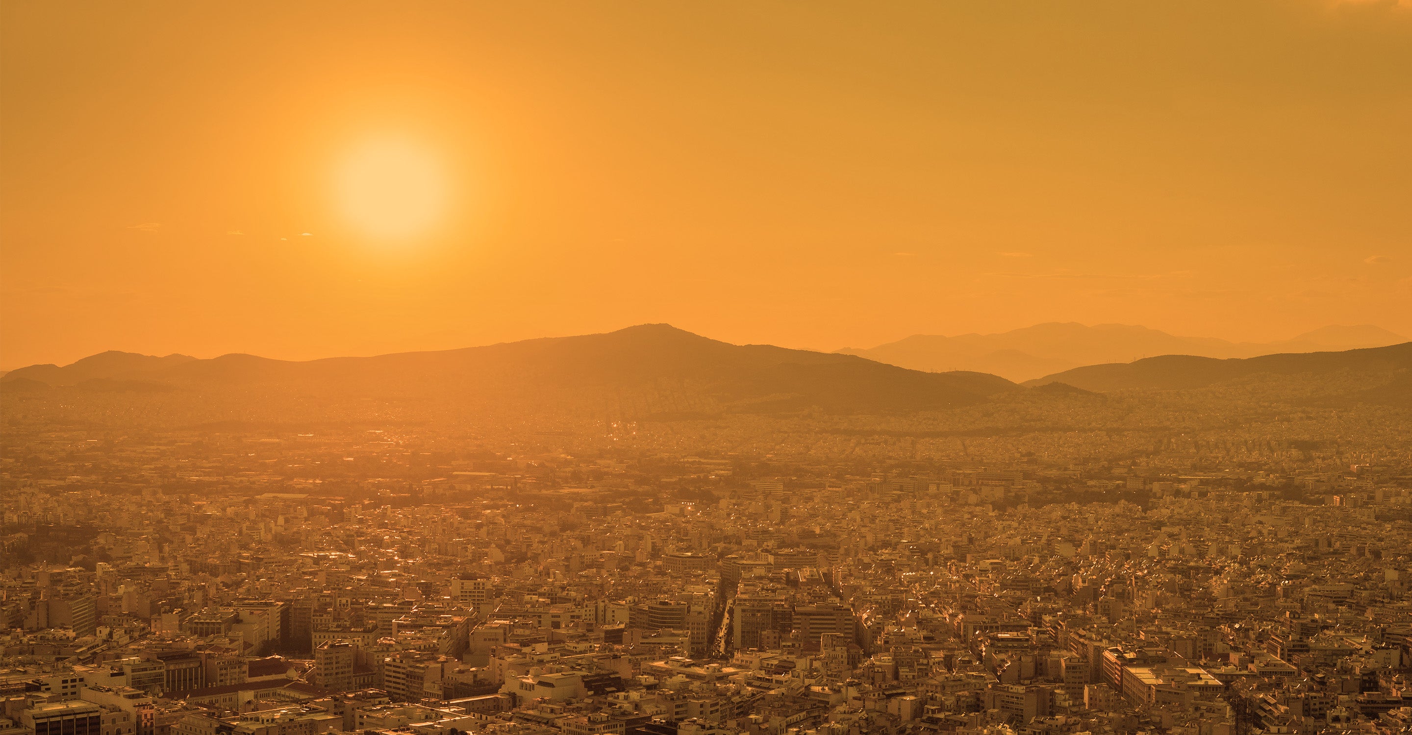
Air Quality 
Air Monitors
Air Purifiers
For Business
News
Support

695 people follow this city

Live
Good
Moderate
Unhealthy for sensitive groups
Unhealthy
Very unhealthy
Hazardous
Full screen


Contributors
2
Stations
10
Contributors category
2
Government
0
Non-profit organization
0
Educational
0
Corporate
0
Individual
0
Anonymous
Most polluted air quality stations
| # | station | US AQI |
|---|---|---|
| 1 | Meiwa Junior High School | 59 |
| 2 | Municipal Wakayama High School | 59 |
| 3 | Eisei Research Institute | 57 |
| 4 | Minato Elementary School | 57 |
| 5 | Miyamae Elementary School | 57 |
| 6 | Ogura Elementary School | 55 |
| 7 | Kokura Elementary School | 53 |
| 8 | West Health Center | 53 |
| 9 | Wakayama Municipal High School | 50 |
| 10 | Wooden head office house | 37 |
Health Recommendations
 | Sensitive groups should reduce outdoor exercise |
 | Close your windows to avoid dirty outdoor air GET A MONITOR |
 | Sensitive groups should wear a mask outdoors GET A MASK |
 | Sensitive groups should run an air purifier GET AN AIR PURIFIER |
community highlight
Wakayama most followed contributors

Become a contributor
Get an AirVisual Outdoor and contribute to collecting millions of data points for the Wakayama map to track local air pollution
News
The latest air quality news and resources.


Understand air pollution and protect yourself
Wakayama air quality data attribution
2Contributors
 Wakayama Prefectural Government
7 stations
2 Government Contributors
Where is the cleanest air quality in Wakayama?


