

Hamilton air quality map
Live air pollution map of Hamilton • 52.8K Followers • 04:00, May 11 Local time


Stations
Clean Air Facilities
Contributors
Government
2Diplomatic
0Non-profit
1Education
0Corporate
0Healthcare
0Hospitality
0Individual
8Top contributors in Hamilton
Who is sharing outdoor air quality data in Hamilton?
Featured station
Discover some of the best station installation in Hamilton
Station gallery

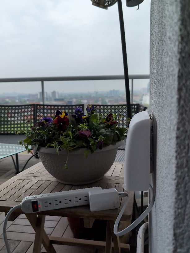
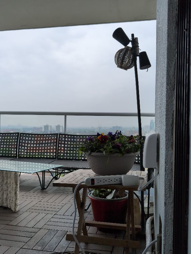
75 Queen Street North, Hamilton
21
Newest stations deployed in Hamilton
AQI⁺ station rankingNewest stations


Learn more about global air quality


Learn more about air pollution in Hamilton
Does Hamilton have good air quality?
Hamilton is a city located in Ontario, one of thirteen provinces found in Canada, with Ontario being the most heavily populated out of them all. The city of Hamilton itself has a population of some 536 thousand people, and has a significant presence in the manufacturing industry in both the region and countrywide, with much of the city being heavily industrialized and involved in metal production. With a large and growing population, coupled with being an industrial hub for the country, Hamilton would be subject to some polluting factors that would see many months of the year get subject to higher readings of PM2.5, a measure of pollution that takes into account hazardous particulate matter that is 2.5 micrometers or less in diameter.
In 2019, Hamilton came in with a PM2.5 average of 10.1 μg/m³, a reading which placed it into the ‘good’ ratings bracket, which requires a PM2.5 reading of anywhere between 10 to 12 μg/m³ to be classified as such. As can be seen, Hamilton was only 0.1 units away from being moved down into the World Health Organizations (WHO's) target goal for perfect air quality, but due to several of its months coming in with fairly elevated pollution levels, its yearly average was raised somewhat. This reading of 10.1 μg/m³ placed Hamilton in 11th place out of all cities ranked in Canada, as well as 2528th place out of all cities ranked worldwide. This is indicative that whilst it still has a respectable air quality in the world circuit, it places quite poorly in Canadas overall rankings and could do much to improve its air quality.
What are some contributing factors to air pollution in Hamilton?
Hamilton has a number of different air pollution causes, with prominent ones such as vehicular fumes and emissions standing out as one of the more noticeable sources, as is common with many cities and states throughout the world. Any city with a large population will inevitably see a significant amount of movement in the city, as well as in and out of the city’s limits, particularly when regarding industrial transportation of goods. This requires the use of larger vehicles, or heavy duty ones as they are more commonly known, which includes the use of trucks, lorries and buses.
These often run on diesel fuels, and due to their large size and weight, put out far more pollution than smaller personal vehicles do, although both are equally responsible in adding to the pollution levels in Hamilton, with both the engine exhaust as well as other factors such as tires use leading to widespread microscopic rubber particle release, which can cause significant damage to people’s health, as well as wildlife when it accumulates in large enough quantities. Other sources include ones such as factory emissions, as well as the burning of firewood or other similar materials.
When is the air quality at its most polluted in Hamilton?
Observing the data taken over the course of 2019, Hamilton had a few distinct periods where the air pollution levels were higher than the rest of the year, meaning that the particulate count, as well as occurrences of haze, smoke and other contaminating factors were at their highest and thus presented the most danger to its inhabitants.
In contrast to many cities which see a clear cut period of higher pollution happening due to the winter months (with increased consumption of electricity for heating homes and businesses, as well as the burning of firewood contributing largely to spikes in PM2.5), Hamilton saw a rise in its PM2.5 count in the months of June and July, with the prior month of May coming in at 9.8 μg/m³, before jumping up to 12 μg/m³ in June, and then a further 13.7 μg/m³ in July.
After this the next high period of pollution was seen at years end (as is typically more common in Canadian cities due to the aforementioned weather change). November and December both came in with moderate rated pollution readings of 13.5 μg/m³ and 13.8 μg/m³ respectively, making December the most polluted month of the year. In closing, the months of June, July, November and December were the months that saw the highest levels of pollution in Hamilton over the course of 2019.
When is the air quality at its cleanest in Hamilton?
In contrast to the previous question, Hamilton saw its cleanest quality of air placed directly between the two spikes in pollution seen in mid-year and years end. August through to October was when the air quality went down to its lowest levels (although not too far off from the rest of the year, showing that Hamilton is subject to some fairly bad sources of ambient year round pollution). August through to October came in with readings of 8.4 μg/m³, 8 μg/m³ and then 7 μg/m³, making October the cleanest month of the year at 7 μg/m³, nearly half of the PM2.5 reading of the most polluted month in December.
What are some of the main types of pollution found in the air in Hamilton?
Hamilton would see a variety of different pollutants in its air, all arising from the various sources as were mentioned at the beginning of the article (with sources such as vehicles, factory emissions and organic material burning being the main offenders, hence combustion processes causing a majority of air contamination). These include chemicals such as nitrogen dioxide (NO2) and sulfur dioxide (SO2), both of which are released prominently from vehicles, with nitrogen dioxide being the most common in its release from vehicle exhaust, as well as forming in the atmosphere as a secondary pollutant. Both are contributing causes to acid rain, as well as possessing the ability to trigger off respiratory conditions and irritate the lining of the lungs.
Other pollutants include ones such as black carbon, a major component in soot that is formed alongside volatile organic compounds (VOC's) when the incomplete combustion of fossil fuels or organic matter takes place. This shows how prominent any combustion source is in the release of pollutants into the air, with even seemingly innocuous sources such as the burning of firewood being a prominent contributing factor. Some examples of the aforementioned VOC's include chemicals such as benzene, xylene, toluene, methylene chloride and formaldehyde. These are all highly harmful to people’s health, and of particular danger due to their volatile nature enabling them to maintain a gaseous state even during bouts of extreme weather, hence easier for the general population to respire.
Where is the cleanest air quality in Hamilton?
- GFL Facility8
- Hamilton Downtown Kirkendall13
- Buchanan Street14
- 2 Maple Ave15
- Tisdale Street North15
- 31 Bond Street Dundas17
- STN2966717
- St. Christophers Park17
- DGEC18
- East Bend Avenue North18
- Ontario Ministry of the Environment Hamilton West18
- 75 Queen Street North21
- Gage and Gertrude22
- Britannia26
- Hamilton Mountain26
- Ontario Ministry of the Environment Hamilton Mountain26
- Parkdale and Burlington28


