
Edmonton air quality map
Live air pollution map of Edmonton • 281.9K Followers • 23:00, Jul 22 Local time


Stations
Clean Air Facilities
Contributors
Government
1Diplomatic
0Non-profit
1Education
1Corporate
0Healthcare
0Hospitality
0Individual
57Top contributors in Edmonton
Who is sharing outdoor air quality data in Edmonton?
Featured station
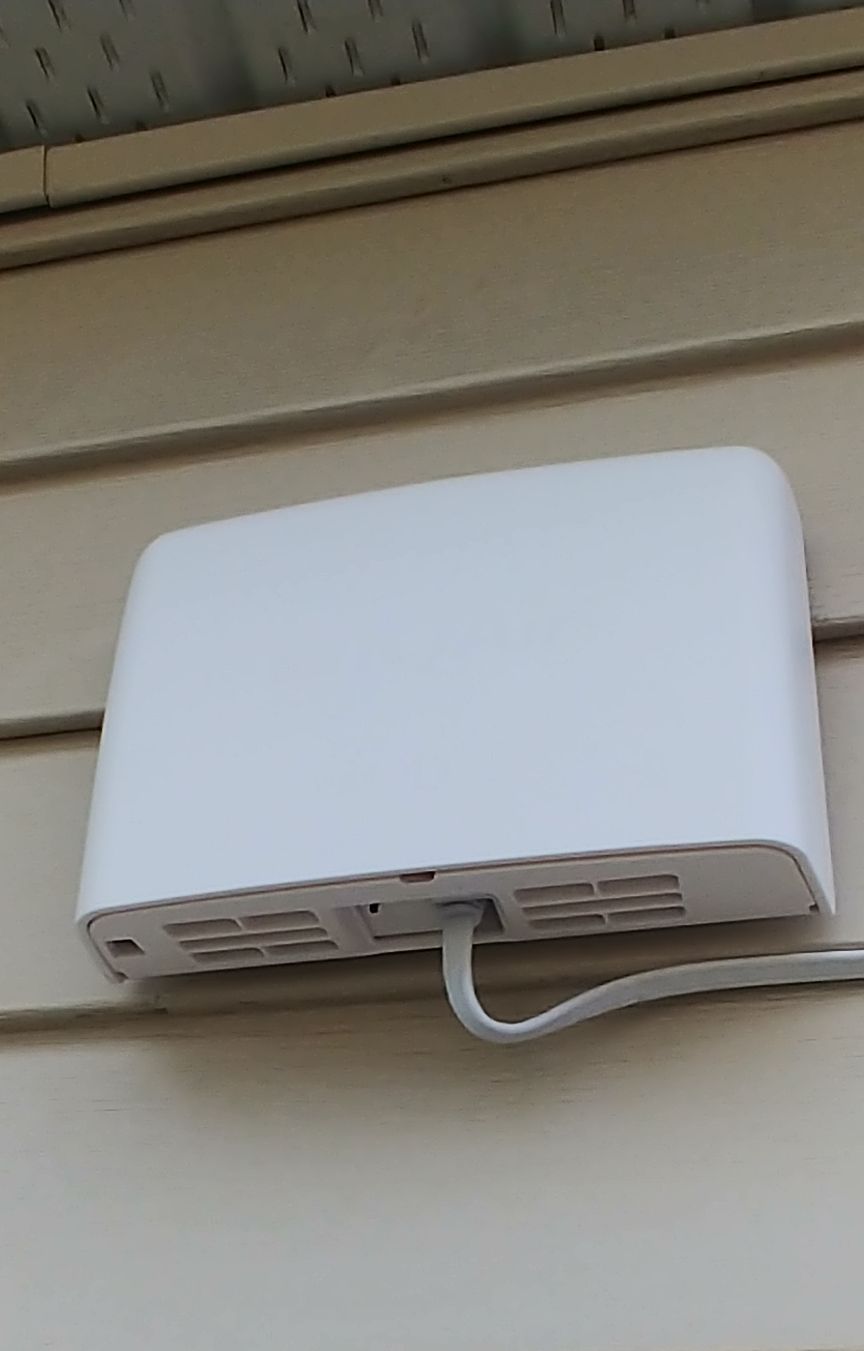
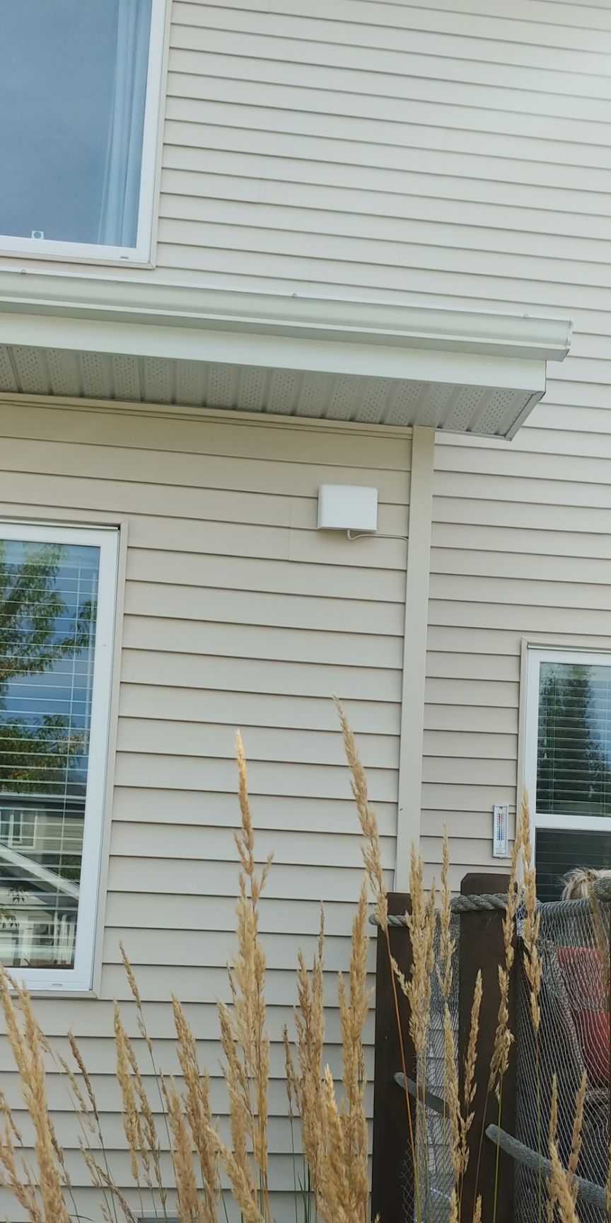
Discover some of the best station installation in Edmonton
Station gallery

Lake Summerside, Edmonton
94
Newest stations deployed in Edmonton
AQI⁺ station rankingNewest stations


Learn more about global air quality


Learn more about air pollution in Edmonton
Is Edmonton a city with polluted air?
Edmonton is a city located in Alberta, Canada, with an estimated population of around 932 thousand inhabitants, all within the provincial city area, and many more in the surrounding urban and metropolitan areas. It is the capital city of Alberta province, and well known as being a cultural, educational and administrative district for the region, having the nickname of Canada’s ‘festival city’ due to its hosting of many festivals throughout the year. It is also home to a major gas and oil industry, a factor that plays a part in contributing to its air quality levels, which will be discussed in following.
In regards to its air quality, Edmonton was recorded as having a PM2.5 reading of 7.4 μg/m³ as its yearly average over the course of 2019. This is a considerably respectable reading, placing it within the World Health Organizations (WHO's) target goal for the best quality of air at 10 μg/m³ or below, with the closer to 0 being the most optimal. This reading is indicative that Edmonton has a very good quality of air, and although there are some months on record where the PM2.5 reading went considerably higher, overall, it is a safe place to live in regards to its air. Its recorded PM2.5 number of 7.4 μg/m³ placed it in 3651st place out of all cities ranked worldwide, as well as 61st place out of all cities ranked in Canada.
What are some causes of air pollution in Edmonton?
As mentioned, whilst the quality of air in Edmonton is overall very good, there are certain times of the year when it is less than appreciable, and as such it is indicative that there are a number of pollutive causes occurring within the city. One of these would be that of vehicular emissions, an ever present threat to air quality in the city of Edmonton, as well as in every city worldwide. With a large number of people present in the city, there is an inevitable increase in pollution levels due to daily commutes, with tens of thousands of personal vehicles such as cars and motorbikes moving in and out of the city, leaving behind clouds of fumes and exhaust in their wake.
This is further compounded by use of heavy duty vehicles such as lorries and trucks, vital in their use for transporting industrial items and various other produce for both import and export. However, these larger vehicles often run on diesel fuels and put out far more pollution than their smaller counterparts do, and with all of these vehicles being a factor, areas that see a high volume of traffic often have hazardous levels of pollution built up over them in the atmosphere and ground level. Other causes are from factories and power plants, often running on fossil fuels such as coal, which can put out its own noxious fumes and dangerous particulate matter into the air.
When is pollution in Edmonton at its worst?
Going off of the data taken over the course of 2019 as a good modern indicator (due to the mass lockdowns imposed over 2020 skewing results somewhat. Whilst there was an improvement in air quality correlating with restricted movement, it is not truly indicative of what normal pollution levels are like and hence 2019 will be used), we can see that the levels of PM2.5 started to rise in accordance with the colder months arriving. Between November and December is when the first rise in pollution was seen, which is also when winter in Edmonton typically begins. November came in with a PM2.5 reading of 5.6 μg/m³, which was followed in December by a reading of 8.8 μg/m³, showing a significant (relatively speaking) rise in air pollution.
This then continued on into the early months of the next year, with January through to June still holding higher levels of pollution. February and March came in with some high readings, displaying 9.8 μg/m³ and 9.9 μg/m³, very close from breaking out of the WHO's target bracket. The most polluted month of the year was May, with a considerable reading of 14.9 μg/m³, a number that was high enough to place it into the ‘moderate’ ratings bracket (12.1 to 35.4 μg/m³ required), the only month of the year to break into this rating, presenting considerably more health risks when compared to the other cleaner months.
When is the air quality at its least polluted in Edmonton?
After the pollution levels dropped as the warmer months came in, Edmonton entered into a period of time where the PM2.5 readings got exceptionally low. June came in with a reading of 8.5 μg/m³, following by July with a reading of 6 μg/m³, and then August at 4.5 μg/m³, and September at 3.6 μg/m³.
After these months the pollution levels started to rise again slowly, but with these numbers observed, it can be said that the months of July through to November were when the air was at its cleanest in Edmonton. September was the cleanest month of the year with its very respectable reading of 3.6 μg/m³, indicating that the air would have been exceptionally clean and free of pollutants during this time period.
What are some of the main types of pollution found in the air in Edmonton?
The main pollutants found in the air would typically be ones that emanate from sources such as vehicles, factories, power plants and other industrial zones, as well as from construction sites, road repairs and other similar areas that can leak finely ground particles that become airborne and thus more likely to be respired.
Amongst these pollutants, ones such as nitrogen dioxide (NO2) and sulfur dioxide (SO2) would stand out, both of them being the main offenders when it comes to vehicle emissions, along with black soot (also known as black carbon) and carbon monoxide (CO). Nitrogen dioxide is always the most widely released ones from vehicles, often to the point that high concentrations in the atmosphere will directly indicate higher volumes of traffic or busy roads directly below or nearby.
Other pollutants would be ones such as the aforementioned black carbon, which along with volatile organic compounds (VOC's), see their release from the incomplete combustion of fossil fuels and organic matter, both of which can occur in the engines of vehicles, the burning of coal in factories or power plants, as well as from citizens burning wood or other material. Some examples of VOC's include ones such as benzene, toluene, xylene and formaldehyde.
Where is the cleanest air quality in Edmonton?
- Northeast Edmonton-AQSU-71150
- Northeast Edmonton-AQSU-72550
- 50 St NW4
- Northeast Edmonton-AQSU-77BC4
- 50 Street7
- AQSU-049A12
- Northeast Edmonton-AQSU-71F315
- Northeast Edmonton-AQSU-1D0418
- AQSU-226324
- Edmonton Woodcroft30
- Northeast Edmonton-AQSU-84C739
- ACA_Hansen Estates53
- Enoch59
- PAS_Empress AQSU-9D8F60
- North Central Edmonton 263
- Southeast Edmonton64
- 53 Avenue NW65
- AQSU-AD0465
- Summerside Field65
- 76 Street NW66
- AQSU - 94B Avenue NW66
- Secord Park66
- Spindle Factory66
- University Infant Toddler Centre66
- ACA_Woodcroft67
- Commonwealth Stadium67
- Garneau167
- Southwest Edmonton67
- 49 Street NW68
- Goldstick Park69
- Northeast Edmonton AQSU-333070
- Miller71
- 38 Street Northwest72
- 5320 143 St NW72
- Northeast Edmonton AQSU-351172
- Greenfield73
- Edmonton East74
- Rural Municipalities of Alberta74
- 10675 61 St NW75
- Bonnie Doon77
- Sturgeon Composite High School77
- AQSU-46A079
- Edmonton Central East80
- Beaumaris Lake82
- Ritchie82
- Laurier Heights Community League83
- Greenoch Cres84
- Kinder Campus90
- Lake Summerside90
- Westmount, Edmonton91
- 51 Street96
- AQSU-4E2996
- Parkallen 110th Street97
- Mayliewan 299
- Fraser River Park105
- Northeast Edmonton AQSU-32FF115
- Northeast Edmonton AQSU-3518119
- MNR Building120
- Northeast Edmonton-AQSU-71EE125
- Northeast Edmonton-AQSU-77EC128
- Northeast Edmonton AQSU-352F138
- Lambton Industrial-AQSU-92EF190


