
Air Quality 
Air Monitors
Air Purifiers
For Business
News
Support

Sydney air quality map
Live air pollution map of Sydney
1.6M people follow this city
Live
Good
Moderate
Unhealthy for sensitive groups
Unhealthy
Very unhealthy
Hazardous
Full screen


Contributors
42
Stations
61
Contributors category
1
Government
0
Non-profit organization
0
Educational
0
Corporate
4
Individual
37
Anonymous
Most polluted air quality stations
| # | station | US AQI |
|---|---|---|
| 1 | Lidcombe | 67 |
| 2 | Campbelltown West | 60 |
| 3 | Richmond | 58 |
| 4 | Camden | 56 |
| 5 | Bradfield Highway | 40 |
| 6 | Rouse Hill | 37 |
| 7 | Earlwood | 32 |
| 8 | Randwick | 31 |
| 9 | Parramatta North | 30 |
| 10 | Ark Place | 29 |
Health Recommendations
 | Enjoy outdoor activities |
 | Open your windows to bring clean, fresh air indoors GET A MONITOR |
community highlight
Sydney most followed contributors

Become a contributor
Get an AirVisual Outdoor and contribute to collecting millions of data points for the Sydney map to track local air pollution
News
The latest air quality news and resources.
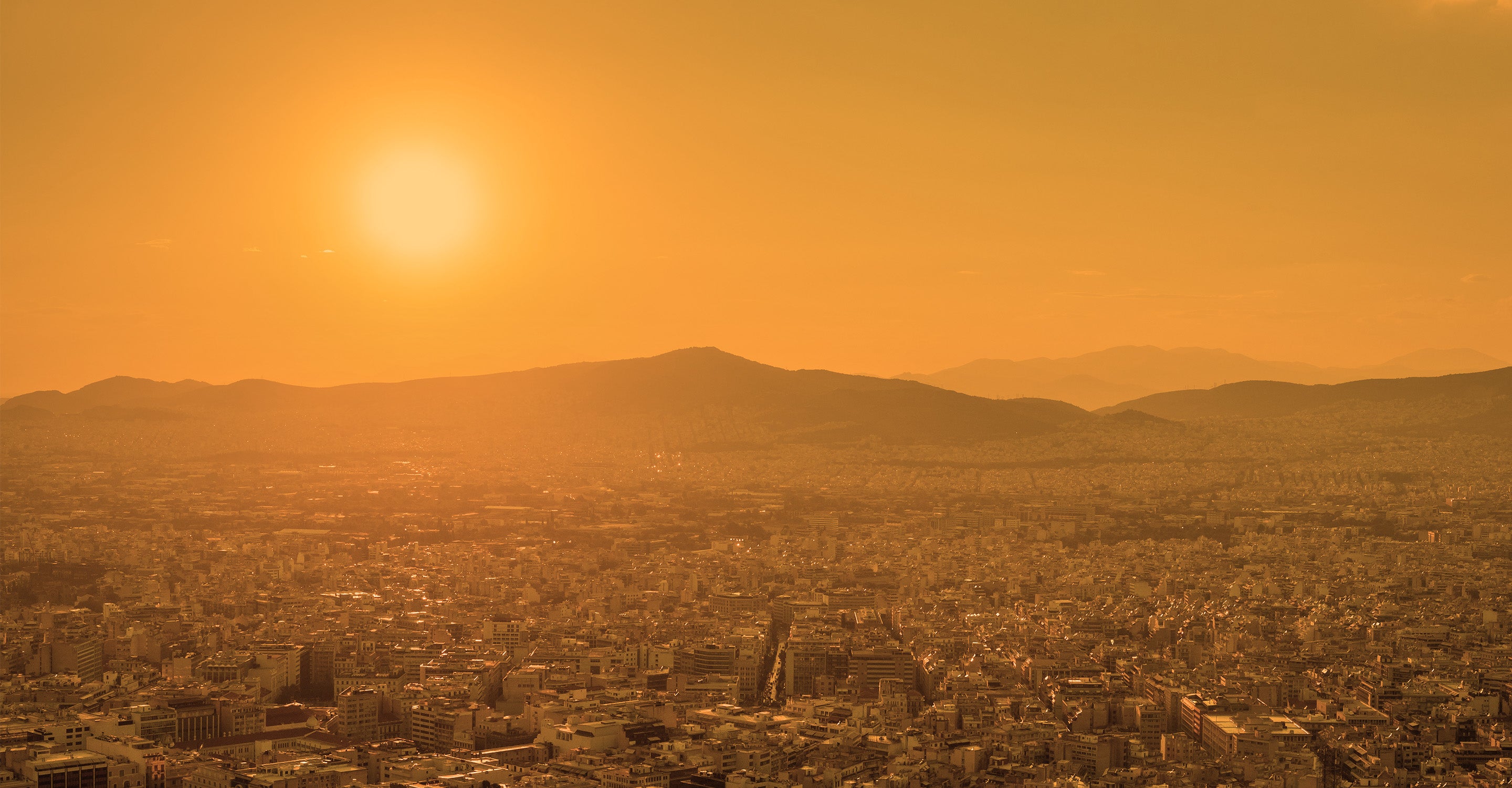


Understand air pollution and protect yourself
Sydney air quality data attribution
42Contributors
- DCCEEW New South Wales
20 stations
Government Contributor
- Bryan
1 station
- Prabhjot Singh
1 station
- AN
1 station
- Carl Braga
1 station
4 Individual Contributors
 37 Anonymous contributors
37 stations
37 Anonymous Contributors
3 Data sources
 Data validated and calibrated by IQAir
Where is the cleanest air quality in Sydney?
- Lidcombe 67
- Campbelltown West 60
- Richmond 58
- Camden 56
- Bradfield Highway 40
- Rouse Hill 37
- Earlwood 32
- Randwick 31
- Parramatta North 30
- Ark Place 29
- Prospect 29
- Rozelle 28
- Cook And Phillip 27
- Lord Street 26
- Fairfax Road 24
- Nichols Street 24
- Bringelly 23
- Penrith 23
- Deakin Place 20
- Lidcombe NSW 2141 - 2 20
- Lidcombe NSW 2141 - 3 20
- Muston Street 20
- Thames Street 20
- Wood Street 20
- Beacon Hill 19
- Dellwood Street 19
- Gymea Bay 1 19
- Jellicoe Street 19
- Glen Street 18
- Mary Wade Correctional Centre 18
- A6 17
- Lidcombe NSW 2141 17
- NSW DPE PA2 FLEX 4 17
- Oakdale 17
- The Esplanade 17
- Weeroona Road 2 17
- Woniora Road 17
- A6 2 16
- Grandview Street 16
- Liverpool 16
- Macquarie Park 16
- North Rocks Shopping Centre 16
- Petersham Palace 16
- Rookwood Road 16
- Weeroona Road 16
- Bargo 15
- George Street 2 15
- St Ives Chase 15
- Threlfall Street 15
- Tryon Avenue 15
- West Pymble 14
- Glenton Street 13
- Wenona Girl School 13
- Balintore Drive 12
- Bungarribee 12
- Jannali 12
- Kangaroo Street 12
- Queens Park, Carrington Road 12
- Georges River Road 11
- Barnes Road 10
- St Marys 8


