Add
Air quality near Wren Close, London
Air quality index (AQI⁺) and PM2.5 air pollution near Wren Close, London • 3.6K Followers
No current dataLast update 14:00, Oct 21 Local time
53
US AQI⁺Moderate

Main pollutant:
PM2.5
10 µg/m³

7°

4 km/h

90 %
Hourly forecast
Wren Close, London air quality index (AQI⁺) forecast


Daily forecast
|
Wren Close, London air quality index (AQI⁺) forecast
| Today | 45 |  | 10° -3° |  8 km/h | 81% |
| Sun | 45 |  80% | 11° 3° | 12 km/h | 89% |
| Mon | 45 |  | 8° 4° | 14 km/h | 79% |
Air pollutants
What is the current air quality near Wren Close?

PM2.5 concentration is currently 2 times the World Health Organization annual PM2.5 guideline value.

Real-time Wren Close, London air pollution map
Health recommendations
 Sensitive groups should reduce outdoor exercise |
 Close your windows to avoid dirty outdoor air Get a monitor |
 Sensitive groups should wear a mask outdoors Get a mask |
 Sensitive groups should run an air purifier Get an air purifier |
Protect yourself from air pollution in Wren Close
Protect yourself from air pollution in Wren Close

Air Purifiers

Face Masks

Air Quality Monitors
Historic air quality near Wren Close
History
Historic air quality graph for Wren Close
34 AQI⁺ US
Good
Wed, Oct 21 Local time
AQI⁺ US
Measure your own air quality
Get a monitor and contribute air quality data in your city.
Most polluted locations near Wren Close, London
Worldwide AQI⁺ ranking
Station ranking
Real-time Wren Close AQI⁺ station ranking

Get comprehensive data about air quality in Wren Close, London
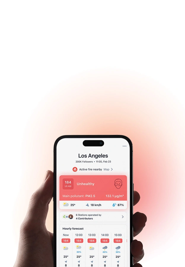


Download our Air Quality App


Learn more about global air quality


Where is the cleanest air quality in London?
- Goresbrook School17
- Priory Park South22
- Waterloo Place (The Crown Estate)28
- Belvedere31
- Putney31
- Fiveways Sidcup Rd A2032
- N6 6NA48
- orpington49
- East Sheen Primary School50
- 101 Euston Road opposite British Library51
- Highgate West Hill Resident53
- Old Farm Ave Allotment53
- Piccadilly Circus54
- Sunny Hill, Hendon55
- Wellington Square55
- Bowes Primary School56
- N6 6NA 256
- 1-8 Dukes Point58
- Lewisham - Honor Oak Park58
- Myatt’s Fields Park59
- Lavender Hill (Clapham Jct)60
- Al Maanar, Acklam Road61
- Blackwall Tunnel61
- Ferrymans Quay61
- Woolwich Flyover62
- Bloomsbury63
- Elsley Primary School63
- LARA West63
- North Kensington AURN63
- Hallfield Estate64
- Lynton Road65
- Byward Street / Great Tower Street66
- Northumberland Place66
- Sunnyhill Primary School66
- Oxford Gardens Primary School67
- Bonner Primary School69
- Burrage Grove69
- Rachel Keeling Nursery69
- Guy's Hospital69
- South Kensington Underground Station69
- St Clement Danes CE School69
- Strand/Wellington Street69
- Gospel Oak Primary School70
- Royal Free Hospital70
- Tower Bridge Road70
- Boston Place71
- Melcombe Primary School71
- Mile End Road71
- Elephant & Castle72
- London Westminster72
- William Hogarth School72
- Alice Model Nursery School73
- Horseferry Road73
- Meath Gardens Children's Centre73
- Horn Link Way j/w Peartree Way75
- St John's Upper Holloway CE Primary School75
- Brampton Primary Academy76
- St Thomas' Hospital76
- Holy Trinity Church of England Primary School77
- Bushy Park78
- Griffin School78
- Kensington High Street79
- St Annes RC Primary School79
- Ceres Road, j/w Bannockburn Road - Bannockburn Primary School81
- Ley Street81
- Haimo Primary School82
- Royal Hill, adjacent to James Wolfe Primary School83
- Stockwell Primary84
- Brent Ikea86
- Plumstead High Street89
- Oaklands Secondary School90
- Tooting High Street94
- Westhorne Avenue94
- Falconwood98
- William Patten Primary School98
- Chesterton Primary School99
- Merton Road105
- Newham162