
Luftqualitätskarte für Riverside County
Live-Luftverschmutzungskarte für Riverside County • 18.4K Followers • 23:00, Jun 16 Ortszeit
Stationen
Einrichtungen mit sauberer Luft
Beitragende
15
Regierung
6Diplomatische Vertretung
0Gemeinnützige Organisation
1Bildung
3Unternehmen
0Gesundheitswesen
0Gastgewerbe
0Privatperson
5Top Beitragende in Riverside County
Wer teilt Luftqualitätsdaten im Freien in Riverside County?
Empfohlene Station
Entdecke einige der besten Stationinstallationen in Riverside County
Stationsgalerie

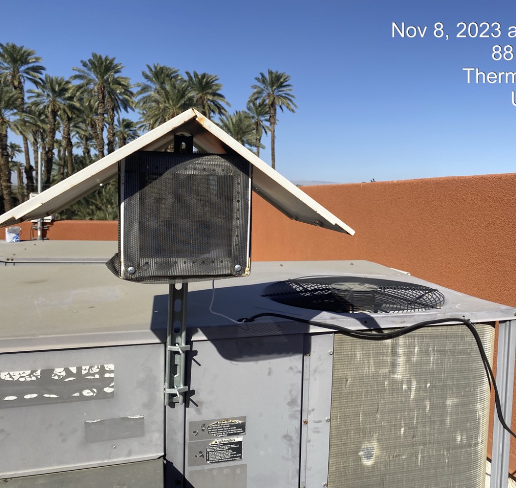
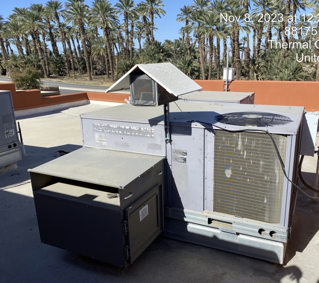
Oasis Elementary School (Coachella), Riverside County
54
Neueste Stationen im Einsatz in Riverside County
AQI⁺-StationsranglisteNeueste Stationen


Erfahren Sie mehr über weltweite Luftqualität


Wo herrscht die beste Luftqualität in Riverside County?
- Joshua Tree National Park - Chuckwalla 310
- Avenida Conchita28
- Grapefruit Blvd and Garfield St33
- 47350 Foothill Rd38
- Joshua Tree NP-Cottonwood #245
- 12165-12189 Santiago Rd46
- Morongo School47
- Desert Mirage High School50
- Pechanga Reservation52
- Oasis Elementary School (Coachella)54
- Butterfly Peak55
- Joshua Tree National Park - Pinto Wells station55
- Torres-Martinez Reservation56
- Temecula (Lake Skinner)63
- Indio Station70


