
Millcreek air quality map
Live air pollution map of Millcreek • 30K Followers • 21:00, Jul 17 Local time

Stations
Clean Air Facilities
Contributors
13
Government
0Diplomatic
0Non-profit
0Education
0Corporate
0Healthcare
0Hospitality
0Individual
13Top contributors in Millcreek
Who is sharing outdoor air quality data in Millcreek?
Featured station
Discover some of the best station installation in Millcreek
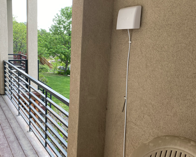
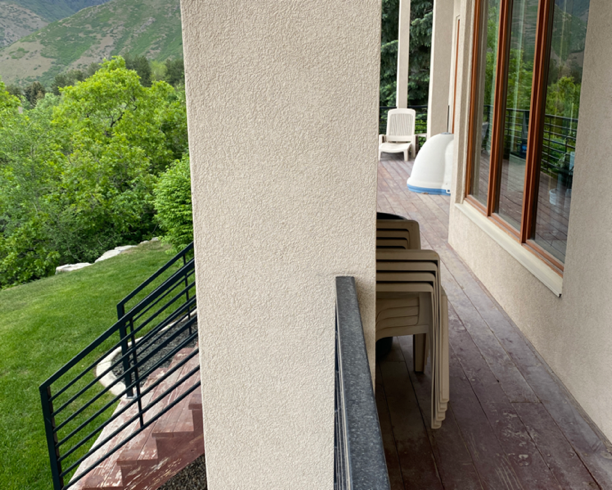
Station gallery

Thousand Oaks Circle, Millcreek
22
Newest stations deployed in Millcreek
AQI⁺ station rankingNewest stations


