
Air Quality 
Air Monitors
Air Purifiers
For Business
News
Support

Palo Alto air quality map
Live air pollution map of Palo Alto
25.1K people follow this city
Live
Good
Moderate
Unhealthy for sensitive groups
Unhealthy
Very unhealthy
Hazardous
Full screen


Contributors
83
Stations
84
Contributors category
1
Government
0
Non-profit organization
0
Educational
0
Corporate
3
Individual
79
Anonymous
Most polluted air quality stations
| # | station | US AQI |
|---|---|---|
| 1 | Lincoln Court | 21 |
| 2 | Montebello | 19 |
| 3 | Byron 01 | 16 |
| 4 | Northampton Drive | 16 |
| 5 | Oxford Avenue | 16 |
| 6 | Bryant x Oregon | 15 |
| 7 | Emerson Street | 15 |
| 8 | Fabian Way | 15 |
| 9 | Greenmeadow | 15 |
| 10 | Los Robles Avenue | 14 |
Health Recommendations
 | Enjoy outdoor activities |
 | Open your windows to bring clean, fresh air indoors GET A MONITOR |
community highlight
Palo Alto most followed contributors

Become a contributor
Get an AirVisual Outdoor and contribute to collecting millions of data points for the Palo Alto map to track local air pollution
News
The latest air quality news and resources.
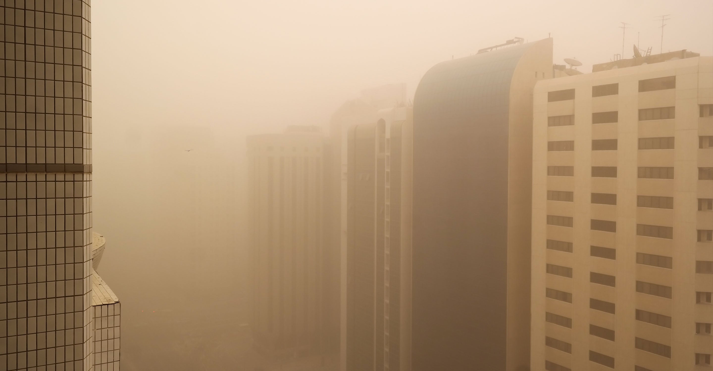
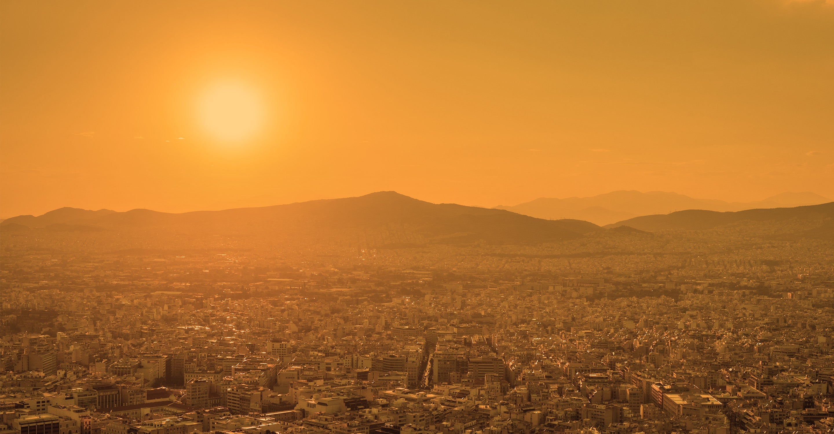

Understand air pollution and protect yourself
Palo Alto air quality data attribution
83Contributors
 Palo Alto OES
1 station
Government Contributor
- ddavies0001
2 stations
 Anonymous
1 station
- quick.wood7910
1 station
3 Individual Contributors
 79 Anonymous contributors
79 stations
79 Anonymous Contributors
 Data validated and calibrated by IQAir
Where is the cleanest air quality in Palo Alto?
- Lincoln Court 21
- Montebello 19
- Byron 01 16
- Northampton Drive 16
- Oxford Avenue 16
- Bryant x Oregon 15
- Emerson Street 15
- Fabian Way 15
- Greenmeadow 15
- Los Robles Avenue 14
- 3040 South Court 13
- Bryant Street and Addison Avenue 13
- Corina Way 13
- Cornell Street 13
- Fergus Garber Architects 13
- Florales Drive 13
- Georgia Avenue 2 13
- Greendell 13
- JLS Tennis Courts 13
- Kenneth Drive 13
- Lowell Outside 13
- Mid Park Boulevard 13
- Murray Way 13
- Shasta Drive 13
- South Court 13
- 3482 Kenneth Drive 12
- 642 Webster Outdoor 12
- 972 El Cajon Way 12
- Bryant Street 12
- Chimalus Drive 12
- College Terrace 12
- Emerson and Loma Verde 12
- Grove Avenue 12
- Lincoln and Channing 12
- Melville 12
- Melville Avenue 12
- Mitchell Park 12
- Pine Street 12
- Ramona at Matadero Creek 12
- Weisshaar Park Outside 12
- Barron Park 2 11
- Bautista Court 11
- Channing Avenue 2 11
- Community Center 11
- Emerson Street 2 11
- Grove Court 11
- Harker Avenue 11
- Loma Verde 11
- Palo Alto Avenue 11
- Palo Alto Leland Manor 11
- Silva Court 11
- Toyon Place 11
- Waverley Street 11
- Webster Street 11
- Wildwood Lane 2 11
- 1101 Hamilton Avenue 10
- 1550 Channing Ave 10
- 1772 Hamilton Avenue 10
- 753 De Soto Drive 10
- Cowper Street 10
- Downtown North 10
- Emerson St 10
- Evergreen Park 2 10
- Garland Drive 10
- Hawthorne Avenue 10
- Jarvis Way Outside 10
- Palo Verde 10
- Palo Verde 2 10
- Sand Hill School 10
- Sherman Avenue 10
- Stanford Villa 10
- Addison Avenue 9
- Community Center 2 9
- Georgia Avenue 9
- West Crescent Drive 9
- Barron Avenue 8
- Bryant Court 8
- Lane D East 8
- Ramona Cir 8
- Fairmeadow 7
- Keys Middle School 7
- Redwood Circle 7
- Ash Street 4
- 2046 Edgewood Drive 1


