Corona air quality map
Live air pollution map of Corona • 6.6K Followers • 20:00, Jun 17 Local time

Stations
Clean Air Facilities
Contributors
4
Government
0Diplomatic
0Non-profit
2Education
0Corporate
1Healthcare
0Hospitality
0Individual
1Top contributors in Corona
Who is sharing outdoor air quality data in Corona?
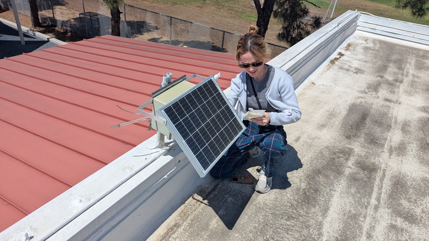
Featured station
Discover some of the best station installation in Corona
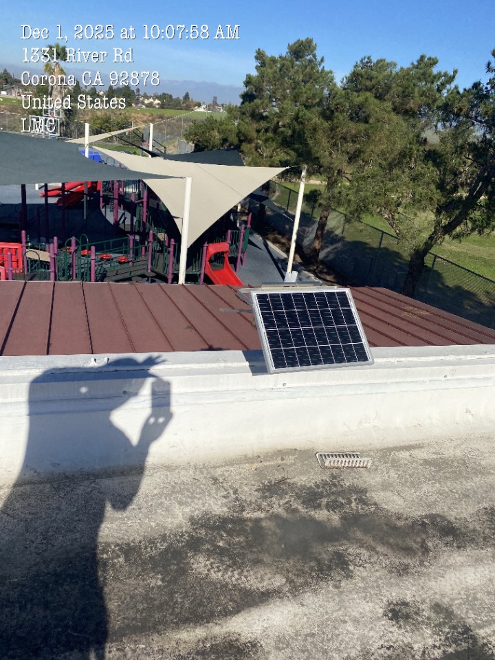
Station gallery

Corona-Norco Family YMCA, Corona
28