
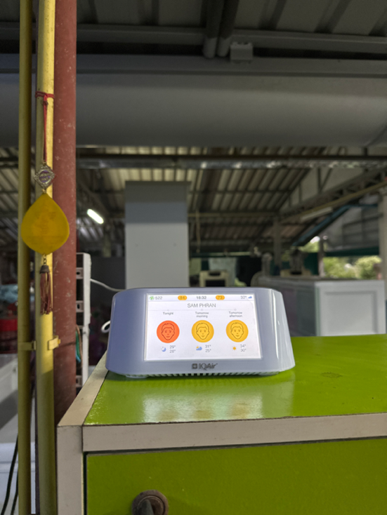
Sam Phran air quality map
Live air pollution map of Sam Phran • 308.5K Followers • 06:00, Jul 26 Local time


Stations
Clean Air Facilities
Contributors
Government
0Diplomatic
0Non-profit
1Education
0Corporate
0Healthcare
1Hospitality
0Individual
3Top contributors in Sam Phran
Who is sharing outdoor air quality data in Sam Phran?
Featured station
Discover some of the best station installation in Sam Phran
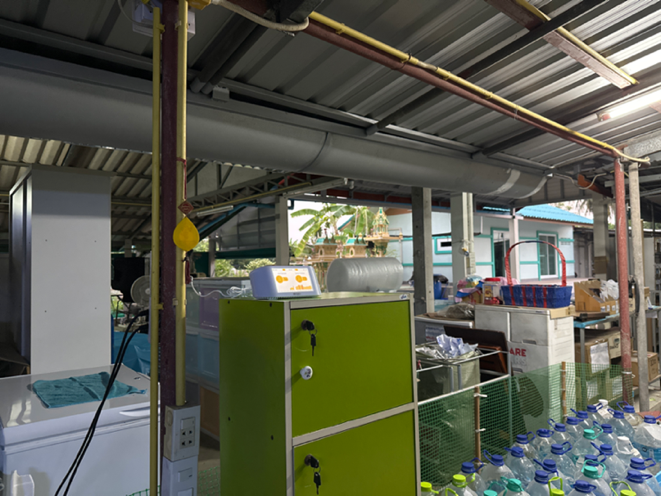
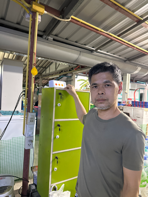
Station gallery

klong jinda, Sam Phran
44
Newest stations deployed in Sam Phran
AQI⁺ station ranking


Learn more about global air quality


Learn more about air pollution in Sam Phran
Is the air quality in Sam Phran polluted?
As of mid-November of 2021, Sam Phran was seen with a US AQI reading of 134, a relatively high reading that placed it into the 'unhealthy for sensitive groups' bracket, which can present a danger for many of its inhabitants. Whilst the end of the year is the time when pollution is particularly prevalent in many Thai cities and towns due to certain practices taking place, Sam Phran may also be affected as is shown by repeated readings of higher US AQI readings over the months of October and November. As such, precaution should be taken during these latter months of the year, as well as the earlier months of the following year which usually also follow a pattern of having raised US AQI and PM2.5 levels. Of note is that the mid-months of the year are typically when a majority of Thai cities see improved air quality, although this is not always the case and there are many exceptions. Staying up to date with air quality readings via this page or the AirVisual may aid greatly in understanding pollution levels in Sam Phran as well as what to do in cases of higher readings.
What are some of the main causes of polluted air in Sam Phran?
Polluted air is present in Sam Phran due to many of the same sources that affect other cities and districts throughout Thailand, as well as neighboring countries, particularly to the north with Myanmar being affected, as well as producing smoke of its own that can drift into Thailand, causing pollution levels to spike in both countries. These causes, with the most prominent ones touched on primarily, are ones such as the burning of large areas of forest or farmland, conducted in a practice known as slash and burn farming. Whilst this is most prevalent in the northern regions of the country as mentioned above, it may also cause spikes in pollution levels in other provinces throughout Thailand, with Sam Phran being no exception, although to a lesser magnitude of other cities more drastically effects. This causes the pollution levels to go up rapidly towards the end of the year, staying elevated into the early months of the following year as well. However, beyond having these open burning issues to deal with, numerous other ones stem from the mass movement of people (anthropogenic causes) as well as industrial activities. These include ones such as exhaust fumes emitted from the numerous vehicles in use in Sam Phran, with a large amount of them potentially being aged significantly past their best years. As there have are many regulations in place to remove those more prominent pollution-causing vehicles from the roads, particularly in major cities, their usage on the road has been slowly declining over the last decade. However, their use is still prevalent throughout many rural areas or outside the larger or more densely populated cities. Due to the extremely poor combustion process that takes place (often coupled with low-quality fuels or fossil fuels), considerably higher amounts of noxious oil vapors are released into the atmosphere, along with the usual chemical compounds such as nitrogen dioxide, sulfur dioxide, carbon monoxide, ozone (which forms afterward as the various pollutants are exposed to solar radiation, thus forcing a reaction take place which forms ozone, or smog as it is more commonly known as). Other causes include factories and power plants, which also rely heavily on burning fossil fuels to meet their power needs. Road repairs, construction sites, and other similar areas also release high amounts of ultrafine or coarse particles into the air, raising the PM2.5 and PM10 levels, which can cause prominent spikes in the particle pollution readings. Industrial activities and fumes from vehicles remain as one of the more prevalent causes of pollution in Bang Phli, worsened by other compounding factors that come with any developing areas and the subsequent human and industrial activities that take place.
What health problems can be caused by exposure to air pollution in Sam Phran?
Exposure to high levels of air pollution in Sam Phran can bring about a variety of dangerous and highly detrimental health conditions, particularly to certain individuals who fall into the sensitive group's bracket (discussed in further detail at the end of the article). However, even healthy adults may fall foul to the negative side-effects of air pollution, particularly if said exposure is excessive or takes place over a longer period of time (this is of particular prominence for those who live near highly polluted areas such as industrial districts or near busy roads, whereby the air quality will be poor for a most of the year). Many conditions that may arise as a result would be the typical short-term ones such as dry throat and coughs, as well as chest pains and mild infections of the respiratory tract. These can resolve themselves quickly when exposure to air pollution is lessened or ceased outright, and due to this, they can be considered as more short-term or acute health issues that may appear in Sam Phran. They can also develop into more long-term or chronic issues, with continuous chest infections and coughing leading to the scarring of lung tissue, which often results in permanently decreased lung capacity. As well as this, the scarring or damage and inflammation to the tissue of the lungs can make one more vulnerable to a whole host of respiratory distress, with chronic obstructive pulmonary disease (COPD) presenting itself. This is an umbrella term that refers to a multitude of different lung and respiratory tract conditions, typically resulting in shortness of breath as well as making an individual at greater risk of severe damage from pollution exposure. Some further conditions that fall under the COPD bracket are one such as pneumonia, bronchitis, emphysema as well as asthma. Other forms of damage that can happen within the body include increased risk of cancer, heart attacks, strokes and arrhythmias, as well as ischemic heart disease and many other cardiac or pulmonary conditions that can bring about decreased quality of life as well as lower life expectancy in Sam Phran.
What are the main pollutants found within Sam Phran?
Main pollutants found within the atmosphere in Sam Phran include those that go into making up the US AQI index, which are sulfur dioxide, nitrogen dioxide, ozone, the two forms of particulate matter PM10 and PM2.5, as well as carbon monoxide. Volatile organic compounds (VOCs) and black carbon are also released as a byproduct of the combustion (particularly the poor or incomplete combustion) of organic material as well as fossil fuels, and as such would be released in large amounts from both slash and burn farming, as well as from factories, cars and other similar industrial sites or businesses that have forms of combustion taking place.
Who is most at risk regarding pollution exposure in Sam Phran?
People who are most at risk of pollution-induced illnesses and higher mortality rates include the elderly, as well as young children, babies and pregnant mothers. Preventative measures such as the wearing of fine particle filtering masks, avoiding outdoor activity and running indoor air purifiers can go a long way in reducing negative health impacts during bouts of high pollution.


