
Bogor air quality map
Live air pollution map of Bogor • 295.4K Followers • 00:00, Aug 03 Local time


Stations
Clean Air Facilities
Contributors
Government
0Diplomatic
0Non-profit
0Education
0Corporate
1Healthcare
0Hospitality
0Individual
1Top contributors in Bogor
Who is sharing outdoor air quality data in Bogor?
Featured station
Discover some of the best station installation in Bogor
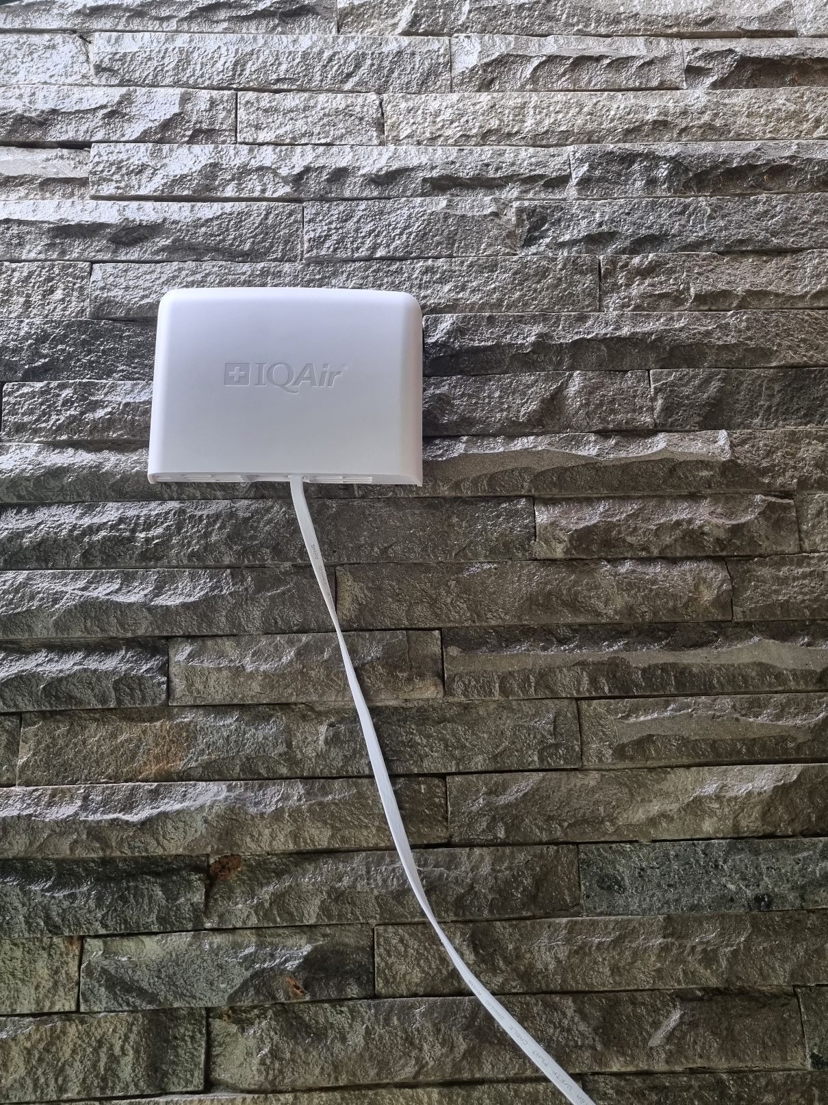
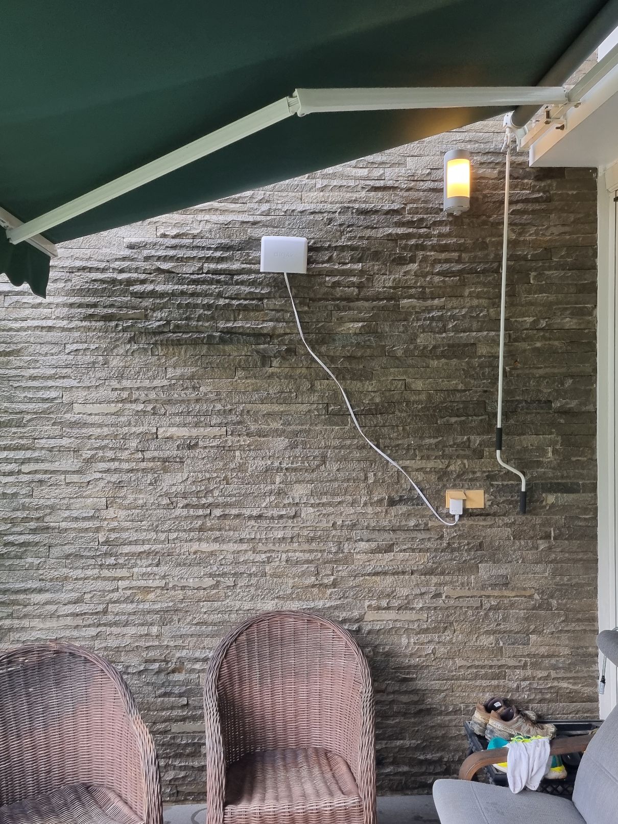
Station gallery

BGH 99, Sentul City, Bogor
163
Newest stations deployed in Bogor
AQI⁺ station ranking


Learn more about global air quality


Learn more about air pollution in Bogor
What is the current level of air pollution in Bogor?
Bogor is a large city in the West Java province of Indonesia. It is 60 kilometres south of the capital, Jakarta and is the 14th largest city in Indonesia. A 2010 census estimated the population to be 950,000 and another, 10 years later saw the figure increase to just over 1 million people.
Towards the middle of 2021, Bogor was subject to air quality that was classified as being “Unhealthy for sensitive groups” with a US AQI figure of 108. This classification system is used and recognised throughout the world and, as such, it is used to compare different cities in different countries by using the same metrics, and is endorsed by the World Health Organisation (WHO). There are usually six main pollutants that are taken into consideration when assessing air quality. Sometimes readings for all six are not available so the figure has to be calculated by using what data is available. In the case of Bogor, the records were as follows: PM2.5 - 41.4 µg/m³, PM10 - 106.1 µg/m³, ozone (O3) - 9 µg/m³, nitrogen dioxide (NO2) - 16.8 µg/m³ and sulphur dioxide (SO2) - 7.6 µg/m³.
With elevated levels such as these, the advice would be to remain inside and close all windows and doors to prevent the entry of more polluted air. Those of a sensitive nature should avoid venturing outside until the air quality has improved, and even then, only with a good quality face mask. The table at the top of this page may help with that decision.
Does the level of air pollution in Bogor remain the same throughout the year?
Air quality can be affected by many variables such as wind speed and direction and the strength of sunlight. It can change very quickly because of these prevailing conditions. Looking back at the figures for 2020 released by the Swiss air monitoring company, IQAir.com, it can be seen that Bogor experienced some extreme conditions. In December, it achieved the WHO target figure of being less than 10 µg/m³ with a relatively low reading of 4.6 µg/m³. The following month of January saw the figure increase which then classed the air quality as being “Unhealthy”. This figure was 138.9 µg/m³. February followed and the quality took another steep dive which plunged it into the “Very unhealthy” category with a reading of 173.1 µg/m³. There were no records kept for April and then from May until the end of November, Bogor experienced a period of “Moderate” air quality with figures between 12.1 and 35.4 µg/m³.
There were no records kept of the annual figures before 2020 when the annual average was recorded as being 31.1 µg/m³. However, this might not be a true indication as to the state of the situation due to the many restrictions introduced because of the COVID-19 pandemic. Many workers were furloughed and therefore were not required to commute to and from work each day as they were allowed to work from home. Many industries were also compelled to cease operations until further notice. Just these two measures alone reduced the pollution in the air with lower emissions.
What are the main sources of air pollution in Bogor?
As a buffer city for the capital city Jakarta, Bogor City is apparently affected by an increase in air pollution levels due to urban growth, both in the tourism sector and residential areas. Of the eleven pollutant indicators measured on average in 30 points throughout Bogor City, there are two indicators of pollution that have experienced a drastic increase, namely carbon monoxide and hydrocarbons.
Usually, the major source of air pollutants in urban areas are industries, vehicle emissions and transportation. Incomplete combustion of gasoline in vehicle engines produces hydrocarbons in vehicle exhaust gases.
What can be done to improve the air pollution in Bogor?
There are five preventive steps to maintain the pollution levels of motorised vehicles, namely good mass transportation management, for example making public transportation more comfortable, more environmentally friendly with fuels such as biodiesel or electricity. So that people prefer to take public transportation rather than private vehicles.
The management of the area's Green Open Space (RTH) with a minimum target of 30 per cent. For example, by developing a rooftop garden to overcome land limitations. There is vehicle emission testing carried out at all locations in Bogor. Then, the application of the age limit of the vehicle. Also, construction and improvement of pedestrian facilities such as adequate and pedestrian-friendly walkways and footpaths and planting of trees around these pedestrianised areas.
The significant impact of vehicles for air pollution using non-gas fuels, either public or private. This is the government's duty to anticipate. This is because the development of the city of Bogor, both the area and the city concept, must think about environmental impacts.
The Committee for the Elimination of Leaded Gasoline released a source application analysis which showed that the most particulate matter PM10 in Jakarta was from motorised vehicles, amounting to 47 per cent. The number of motorised vehicles which reached 17 million units contributed to the poor air quality in the capital.
All vehicles have contributed to worsening the air in the city of Jakarta. Vehicle owners can assist in reducing Jakarta's air pollution by conducting vehicle emission tests at workshops that already have test equipment. Thus, the emission gas that is disposed of is more controlled and less polluting the environment.
What impact does the polluted air in Bogor have on human health?
Long-term exposure to air pollution is associated with an increased risk of high blood pressure (hypertension). For every five micrograms per cubic meter (5 µg/m³) PM2.5 the risk of hypertension increases by 22 per cent in people living in highly polluted areas compared to those living in less polluted areas.
Adults in the same age group who live in areas with high levels of pollution are more prone to developing high blood pressure than those who live in areas with minimal pollution.
Short-term exposure to exhaust gases, sulphur dioxide and particulates such as dust is associated with a risk of high blood pressure. Meanwhile, in the long term, nitrogen dioxide pollutants from vehicles are also associated with this risk.
Women who are frequently exposed to pollution levels have a higher risk of suffering from hypertension.


