Winnipeg air quality map
Live air pollution map of Winnipeg • 111.2K Followers • 00:00, Jul 25 Local time

Stations
Clean Air Facilities
Contributors
Government
2Diplomatic
0Non-profit
0Education
1Corporate
0Healthcare
0Hospitality
0Individual
19Top contributors in Winnipeg
Who is sharing outdoor air quality data in Winnipeg?
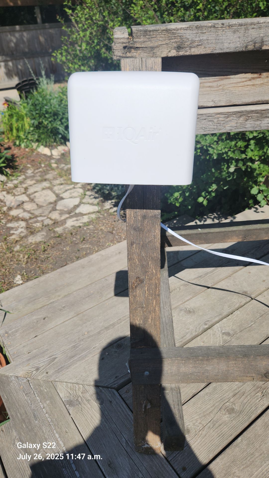
Featured station
Discover some of the best station installation in Winnipeg
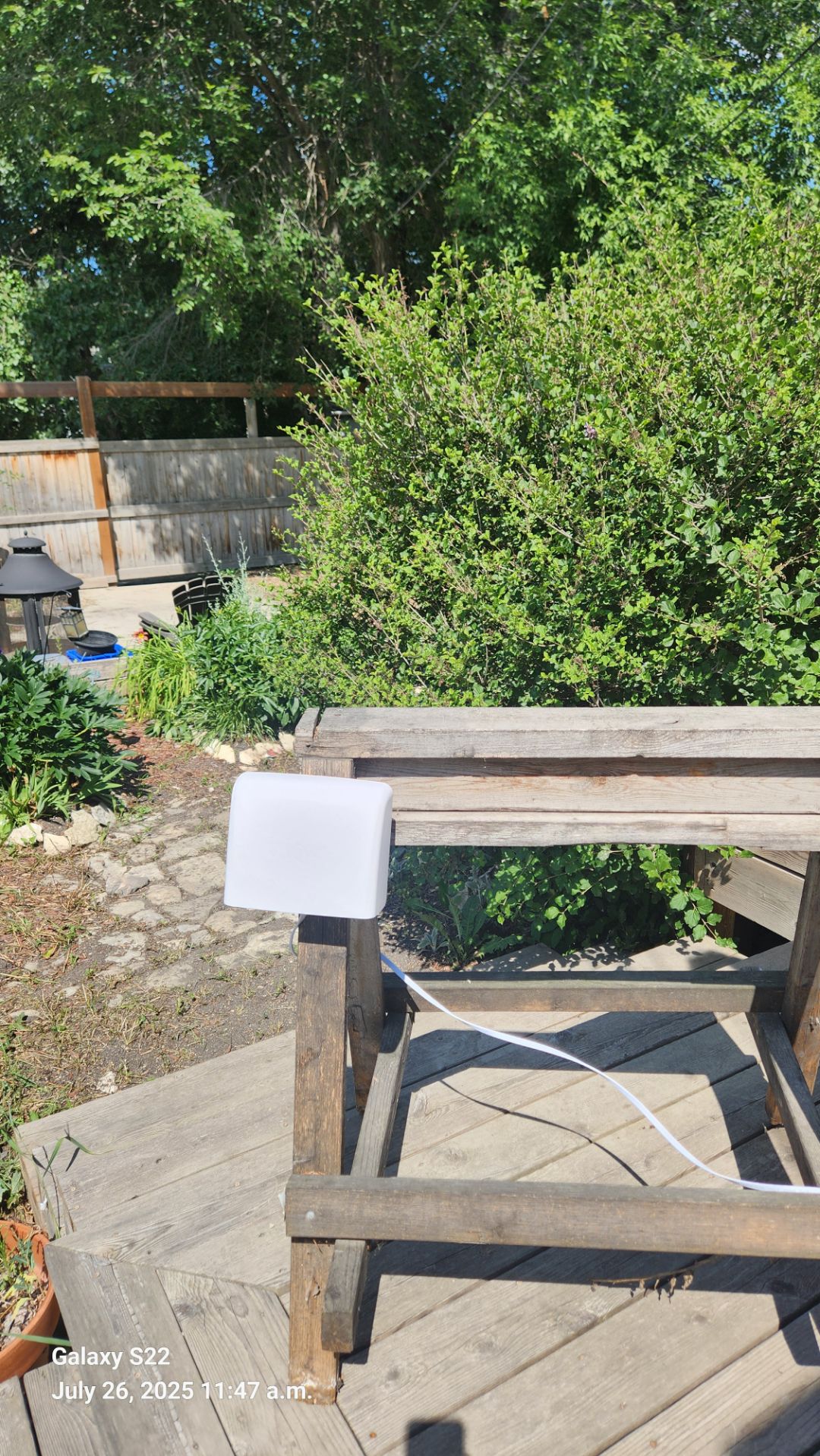
Station gallery

Point Douglas, Winnipeg
71
Newest stations deployed in Winnipeg
AQI⁺ station rankingNewest stations


Learn more about global air quality


Learn more about air pollution in Winnipeg
What is the air quality like in Winnipeg?
Winnipeg is a city located in the province of Manitoba, Canada, and is the capital city as well as the largest in the whole province. It finds itself centered at the meeting point of both the Red river and Assiniboine river, two major bodies of water that flow through large portions of North America. It is known for being a transport hub, with a well connected railway system as well as a significantly diverse economy, hosting employment in international and local trade, manufacturing and production, as well as health care and education. With a large population of some 778 thousand inhabitants, and some extremes of weather between the seasons, Winnipeg is subject to some varied levels of air quality, with certain months being extremely clean and exemplary of what a near perfect level of air quality should be like for a major city, whilst other months came in with sudden jumps in pollution levels.
In regards to the data collected over the course of 2019, Winnipeg came in with a PM2.5 yearly average reading of 5.5 μg/m³, an extremely good reading that placed it well into the World Health Organizations (WHO's) target goal of 10 μg/m³ or less for the best quality of air. This reading also put it in 4328th place out of all cities ranked worldwide, as well as 124th place out of all cities ranked in Canada. Whilst it is exceptionally good in regards to its air quality, it could certainly stand to improve its PM2.5 level and improve its ranking within the country, a feat possible with the right initiatives and environmental efforts in place.
Why is Winnipeg polluted?
Causes of pollution in Winnipeg remain similar to many cities throughout Canada, save for the more polluted industry heavy ones that see a particularly high level of PM2.5 readings. With the exception of the occasional forest fire that can occur in nearby forested areas, grasslands or prairies, there would be a steady source of ambient year round pollution coming from both human based movement and industrial activity.
Cars and other automobiles have a significant role to play in this, with their use being consistent throughout Winnipeg and indeed a polluting factor in nearly every corner of the globe. This has become more noteworthy over the course of 2020 due to the Covid-19 induced lockdowns, which saw huge amounts of haze lift from many cities around the world, with geographical features such as mountain ranges in the distance revealing themselves again after having been invisible for decades.
How does the air quality in Winnipeg compare to other cities in Canada?
Coming in at 124th place out of all cities ranked in Canada, Winnipeg has not only a good standing on the world circuit in terms of air quality but also does equally well within the country. The only downside is the spike of pollution seen in one of the latter months of the year, which will be discussed in more detail in following. These spikes in air pollution can sometimes be caused by the aforementioned naturally occurring forest or grassland fires, sometimes within the city limits or more usually taking place outside in rural areas, with subsequent winds blowing the smoke and ash over the city.
Due to this spike in air pollution, Winnipeg’s average reading is skewed somewhat, and despite having an excellent year round reading of air quality, could improve further if it were to not have any such months tarnishing its record, although of note is that this spike in PM2.5 was witnessed in many cities throughout Canada.
When is the air quality at its most polluted in Winnipeg?
Observing the data taken over the course of 2019, whilst there were many months with very low PM2.5 readings, a sudden change was seen from the month of May onwards. The previous month of April came in with a very clean reading of 4.7 μg/m³, which was then followed by a slight rise up to 6.1 μg/m³ in May, and then a further rise up to 7.5 μg/m³ in June. Whilst these are still well within the WHO's target goal for the best quality of air (with the closer to 0 of course being the most optimal), they still represented a rise in PM2.5 readings, which was then followed by the highest reading of the year in the following month with 12.4 μg/m³ taken in July.
Whilst this is a common reading for many cities around the world, for Winnipeg and indeed much of Canada it shows a vast difference, being the only month of the year to move up into the ‘moderate’ pollution bracket, which requires a PM2.5 reading between 12.1 to 35.4 μg/m³ to be classified as such. This reading is over 4 times higher than the lowest reading of the year, which was October with 2.6 μg/m³, a reading that could be defined as close to perfect. Thus, the period between May and July was when the pollution levels were at their worst in Winnipeg, with July taking the first place spot as most polluted month of the year.
What are some of the main pollutants found in the air in Winnipeg?
With most of its minimal air pollution coming from sources such as car fumes and factory emissions, the main pollutants that would be part of the atmosphere in Winnipeg would be ones such as black carbon and volatile organic compounds (VOC's), both of which are formed by the incomplete combustion of fossil fuels, as well as organic material. As such, they would see release from many combustion sources, including heavy machinery in factories, power plants that use coal as well as vehicle engines. Some examples of VOC's include ones such as toluene, xylene, benzene, methylene chloride and formaldehyde. They are particularly hazardous due to their ability to remain in a gaseous state even in considerably lower temperatures, and besides being released from burn sources, can also arise from materials such as wood varnish, lacquered furniture and from many household items. Other ones of note would be nitrogen dioxide (NO2) and sulfur dioxide (SO2), with both of which find a majority of their release from vehicle fumes, and are major contributors to acid rain, as well as being highly irritating and damaging to lung tissue if overexposure occurs.
Where is the cleanest air quality in Winnipeg?
- Winnipeg - Ellen Street14
- Winnipeg - Scotia Street24
- Betsworth39
- Brokenhead Health Center57
- Munroe West61
- Park Boulevard South63
- Centennial64
- 299-243 Horace St65
- Assiniboia Downs66
- Eric Coy66
- South Pointe66
- Upper rainbow stage67
- Peguis St69
- Princess Auto Stadium - Rum Hut69
- Southland Park69
- Point Douglas71
- Bur Oak Blvd73
- Beaumont75
- Birds Hill Station75
- Clifton St75
- South Osborne Air75
- Dufresne Neighborhood, Winnipeg77


