

New South Memphis air quality map
Live air pollution map of New South Memphis
236 people follow this city

Full screen


Contributors category
0
Government
0
Educational
0
Non-profit organization
0
Corporate
0
Individual
0
Anonymous
Station(s) operated by
*IQAir’s AQI data modeled using satellite data. Learn more
Health Recommendations
 | Enjoy outdoor activities |
 | Open your windows to bring clean, fresh air indoors GET A MONITOR |
New South Memphis does not have air sensor data
Be the first to measure and contribute air quality data to your community.
News
The latest air quality news and resources.


Understand air pollution and protect yourself
New South Memphis MAP AIR QUALITY ANALYSIS AND STATISTICS
What exciting information about air quality can be found on the air pollution map for Memphis?
There is a lot of quality information on the air pollution map for Memphis and access to it is gained from the main city page. By choosing the map icon at the top of the page, another page will open with all the relevant information in one place.
When the air quality map for Memphis is first viewed, the first thing to strike the user will be the overall colouration of the map. This is a direct indication of the current air quality. At the end of December 2022, the colouration was green which tells the user that the air quality is “Good”. Colours range from pale green to dark maroon where the darker the colour, the worse the air quality. These colours are standard across the entire IQAir website. There are also some coloured circles or discs to be seen over the city. These represent the locations of the ground-level air quality monitoring stations, each of which can be explored individually to find out more information about that specific area of the city.
They also display a number at their centre which is the United States Air Quality Index number or US AQI for short. This figure is calculated by taking measurements of six of the most prolific pollutants found in city air. Once calculated, it is used as a metric when comparing air quality in different locations across the globe. It is encouraged by the World Health Organisation (WHO).
Looking back at the main city page it can be seen in the coloured banner at the top of the page that Memphis was enjoying a period of “Good” air quality with a US AQI reading of just 19. The main pollutant measured was found to be PM2.5 with a recorded level of 4.5 µg/m³ which is within the target figure of 5 µg/m³ as recommended by the WHO.
Directly below the air pollution map for Memphis can be seen the number of stations there are that provide the data regarding air quality. In December 2022, there were three stations in and around Memphis.
Is there much more fascinating information about air quality on the air pollution map for Memphis?
There is a lot more interesting information about air quality on the air pollution map for Memphis. In order that all this information is not obscured, the page needs to be viewed in full-screen mode. This is easy to achieve by pressing the icon which is found at the top of the page.
The user will then see four options on the left-hand side of the page, each of which can be toggled on and off to get a good idea of the effect they each have on the map.
The first option shows the location of the ground-level air quality monitoring stations which are denoted by the use of coloured discs. Each of these discs can be selected which will open another page which is dedicated to that area of the city. The next option shows the location of any wildfires that might be burning in the area. In December 2022, there were no icons on the map. If any fires are burning, option four needs to be looked into because it shows the speed and direction of the prevailing winds and might give a good indication of where the ensuing smoke might blow.
The third option uses colour to visually show the current air quality. The background of the map takes on the appropriate colour to reflect this. If the viewer finds it distracting or confusing, it can be deactivated and the map will revert to a more acceptable palette.
More interesting information can be found on the right-hand side of the screen in the form of a table. This shows the ranking of world cities according to their levels of air quality. Only the top seven are shown on this page but the topic can be fully explored by choosing to look at the full ranking when all participating cities are listed in descending order.
Are areas of higher pollution shown on the air quality map for Memphis?
Areas of higher pollution can be identified by looking for the disc with the highest number and/or the darkest colour. Alternatively, immediately below the air pollution map for Memphis is a table which ranks the stations according to their levels of pollution. Currently, the worst quality can be found around the Shelby Farms station which showed a US AQI reading of 32. However, this is still classified as being “Good” quality.
The following table shows how popular each station is and shows the number of loyal followers they each have. Currently, this is Shelby Farms with almost 2,000 followers.
Is the source of the polluted air shown on the air quality map for Memphis?
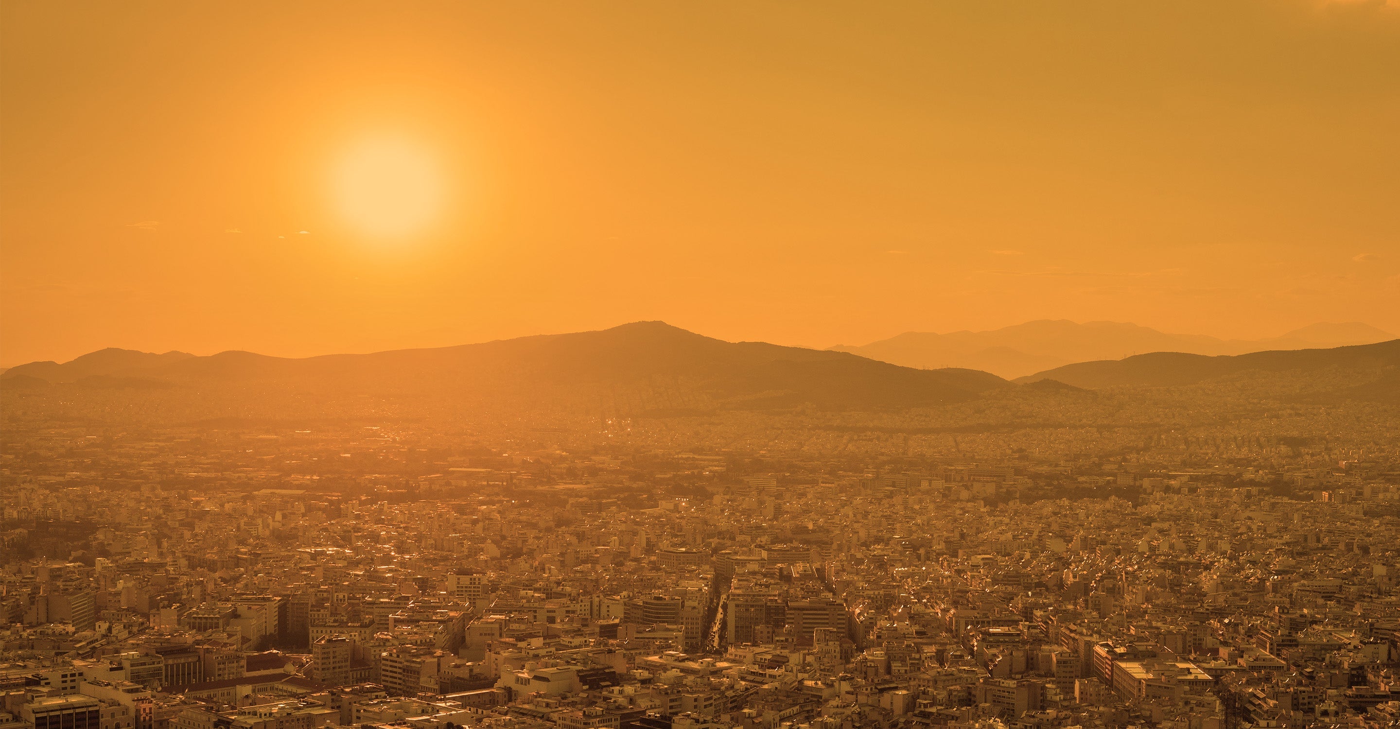
The source of the polluted air is not directly visible on the air quality map for Memphis but it is known that there are four main pollutants which are ozone, both sizes of Particulate Matter, carbon dioxide and sulphur dioxide. Southwest Memphis is a largely residential region in the heart of a fossil fuel burning area, steel refining installations and food processing industries as well as a large number of mobile sources.
Surprisingly, dust from the Sahara Desert is also a factor in air pollution. High pressure in the North Atlantic encourages the formation of easterly winds from Africa towards North America.
PM2.5 is always used on the air pollution map for Memphis, but how dangerous is it?
Air pollution is a major problem in many modern cities and influences billions of people worldwide. PM2.5 is defined by fine particles that contain carbon and absorb various chemical compounds, such as metals, organic compounds, and salts, and biological groups, such as toxins and pollen. These PM2.5 compounds have a great effect on human health and can cause respiratory and cardiovascular diseases.
PM2.5 is small enough to invade even the smallest airways and penetrate the lungs and will cause oxidative stress and inflammation in the respiratory system, and then may cause epithelial damage and abnormal cardiovascular function.
Stay Informed. Download #1 air quality app
Air pollution forecast, pollution alerts and much more to help you plan your days and keep protected against air pollution


