


雅温得空氣品質地圖
雅温得的實時空氣污染地圖 • 3.6K 關注者 • 09:00, 10月 15日 當地時間







站點
潔淨呼吸空間
雅温得 最受歡迎的數據貢獻者
誰在雅温得分享戶外空氣品質數據?
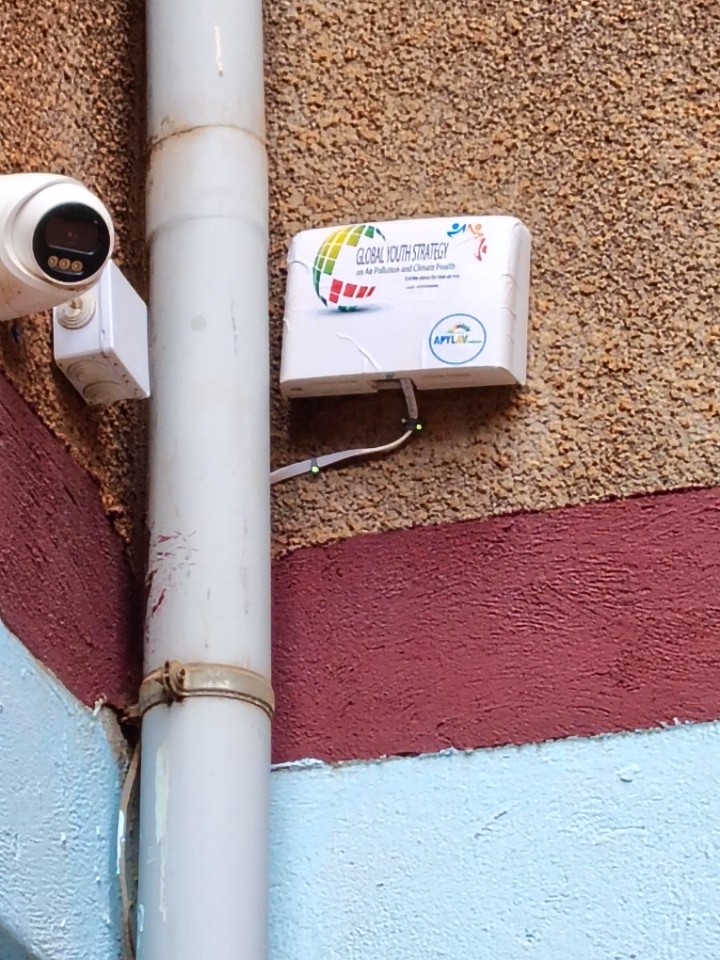
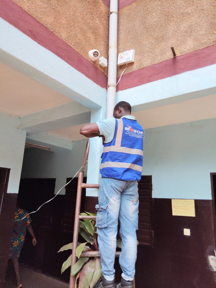
在雅温得部署的最新監測站
AQI⁺ 監測站排名
最新監測站




雅温得哪裡空氣最乾淨?
- Yaounde Reference monitor(FMBS)21
- École Publique Bastos Yaoundé, Cameroun38
- Franky Comprehensive Secondary School Obili-Biscuiterie50
- Reference site with lower emissions and greater vegetation cover of Bastos51
- Urban peripheric area of Nkolbisson : Increasing population and biaomass burning source52
- High exposure to traffic and industrial activities emissions of Mvog-mbi area62
- Significant commercial activities and medium to high road traffic emission of Essos area64
- Ministry of Public Health Centre Regional Delegation-Nlongkaka71
- Yaounde Reference monitor(FMBS) Collocation site.153


