Riverside County air quality map
Live air pollution map of Riverside County • 19K Followers • 02:00, Aug 01 Local time
IQAir Community MemberSouth Coast Air Quality Management District (South Coast AQMD)Twenty-Nine Palms Band of Mission IndiansPechanga Band of IndiansCalifornia Air Resources Board (CARB)USA National Park ServiceImperial County Department of Toxic Substance and Comite Civico del ValleDesert Mirage High SchoolMorongo Band of Mission IndiansCoachella Valley Unified School DistrictOasis Elementary SchoolAnonymous contributor
IQAir Community MemberSouth Coast Air Quality Management District (South Coast AQMD)Twenty-Nine Palms Band of Mission IndiansPechanga Band of IndiansCalifornia Air Resources Board (CARB)USA National Park ServiceImperial County Department of Toxic Substance and Comite Civico del ValleDesert Mirage High SchoolMorongo Band of Mission IndiansCoachella Valley Unified School DistrictOasis Elementary SchoolAnonymous contributor

Stations
Clean Air Facilities
Contributors
13
Government
6Diplomatic
0Non-profit
1Education
3Corporate
0Healthcare
0Hospitality
0Individual
3Top contributors in Riverside County
Who is sharing outdoor air quality data in Riverside County?
Featured station
Discover some of the best station installation in Riverside County
Station gallery

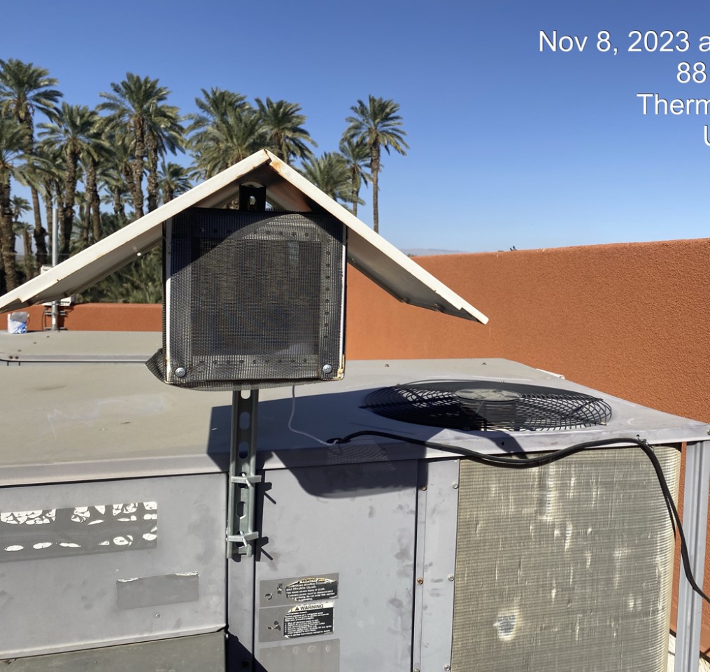
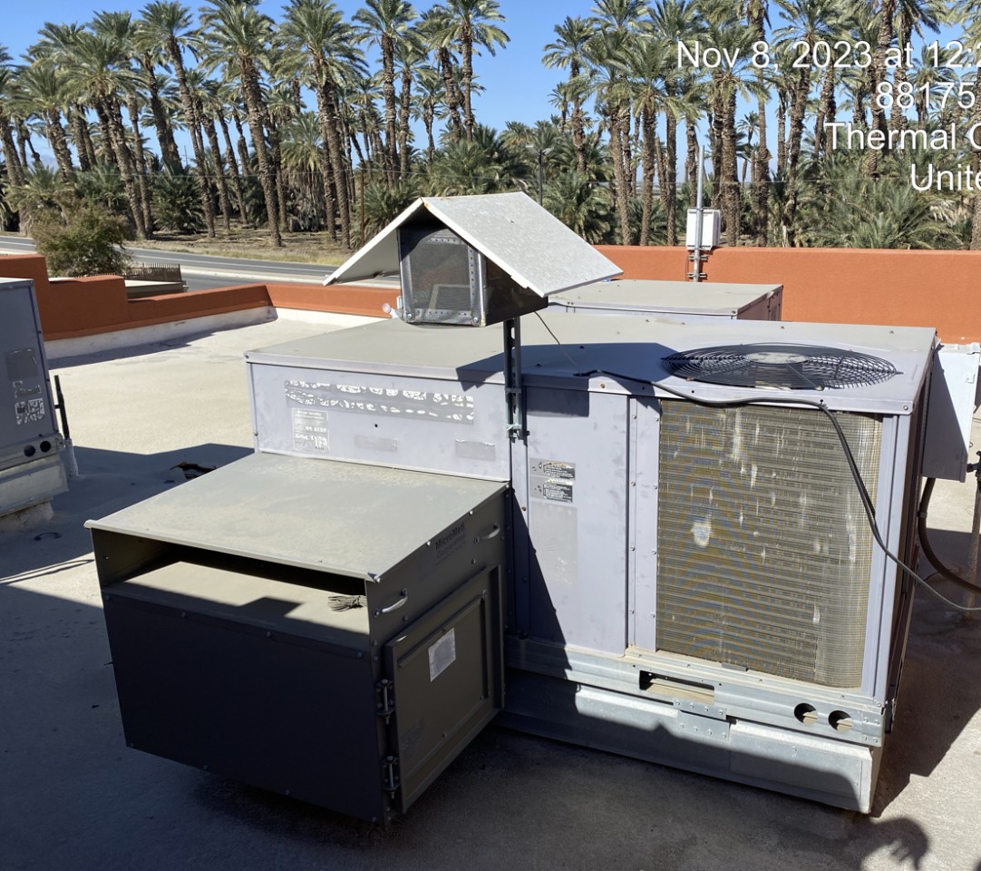
Oasis Elementary School (Coachella), Riverside County
49
Newest stations deployed in Riverside County
AQI⁺ station rankingNewest stations