Riverside County 대기질 지도
Riverside County의 실시간 대기 오염 지도 • 18.9K명 팔로워 • 07:00, 7월 25일 현지 시간
IQAir Community MemberSouth Coast Air Quality Management District (South Coast AQMD)Twenty-Nine Palms Band of Mission IndiansPechanga Band of IndiansCalifornia Air Resources Board (CARB)USA National Park ServiceImperial County Department of Toxic Substance and Comite Civico del ValleDesert Mirage High SchoolMorongo Band of Mission IndiansCoachella Valley Unified School DistrictOasis Elementary SchoolAnonymous contributor
IQAir Community MemberSouth Coast Air Quality Management District (South Coast AQMD)Twenty-Nine Palms Band of Mission IndiansPechanga Band of IndiansCalifornia Air Resources Board (CARB)USA National Park ServiceImperial County Department of Toxic Substance and Comite Civico del ValleDesert Mirage High SchoolMorongo Band of Mission IndiansCoachella Valley Unified School DistrictOasis Elementary SchoolAnonymous contributor

측정소
12측정소 설치
클린 에어 시설
Riverside County의 주요 기여자
Riverside County에서 누가 실외 대기질 데이터를 공유하고 있나요?
추천 측정소
Riverside County의 우수한 측정소 설치 사례를 확인해 보세요
관측소 갤러리

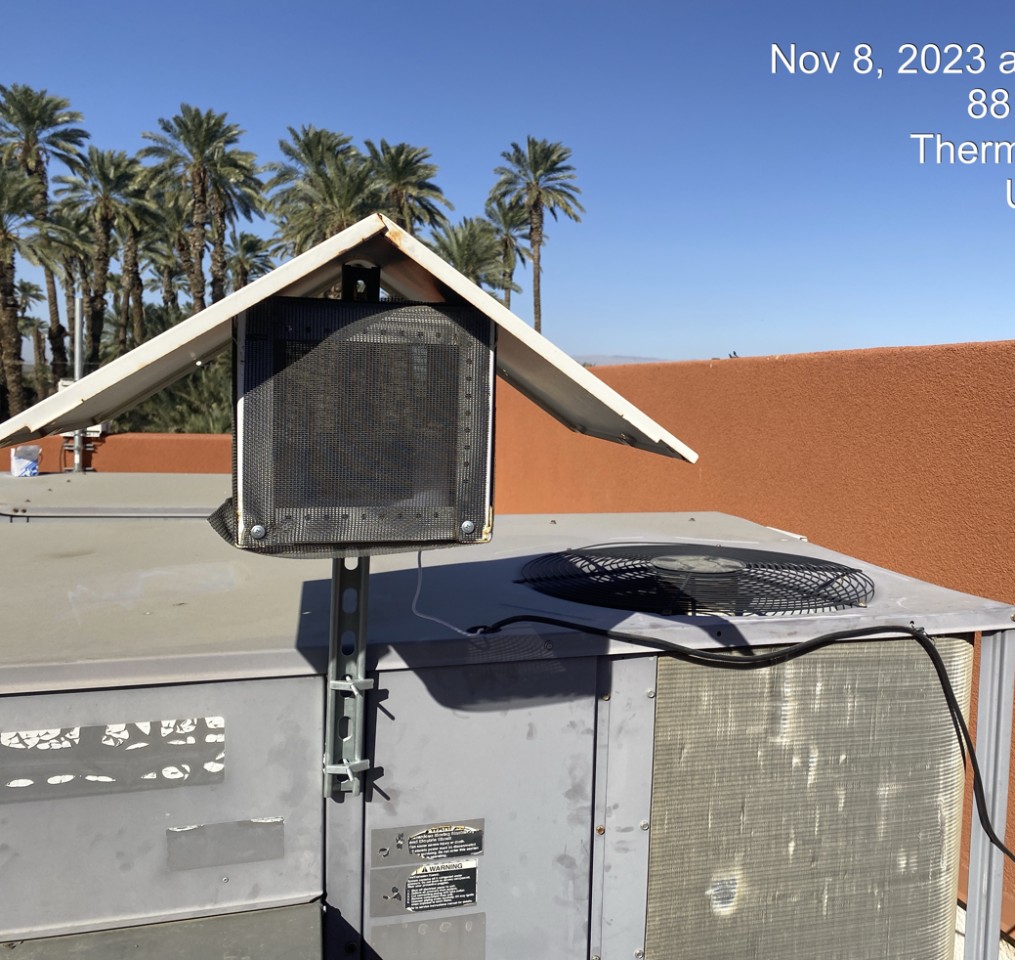
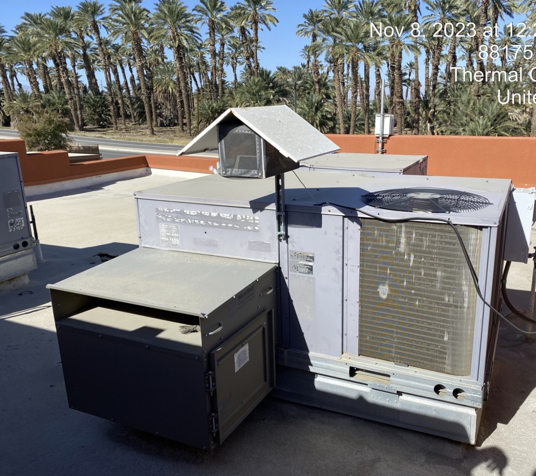
Oasis Elementary School (Coachella), Riverside County
52
Riverside County에 새로 설치된 측정소
AQI⁺ 측정소 순위최신 측정소