
Air Quality 
Air Monitors
Air Purifiers
For Business
News
Support

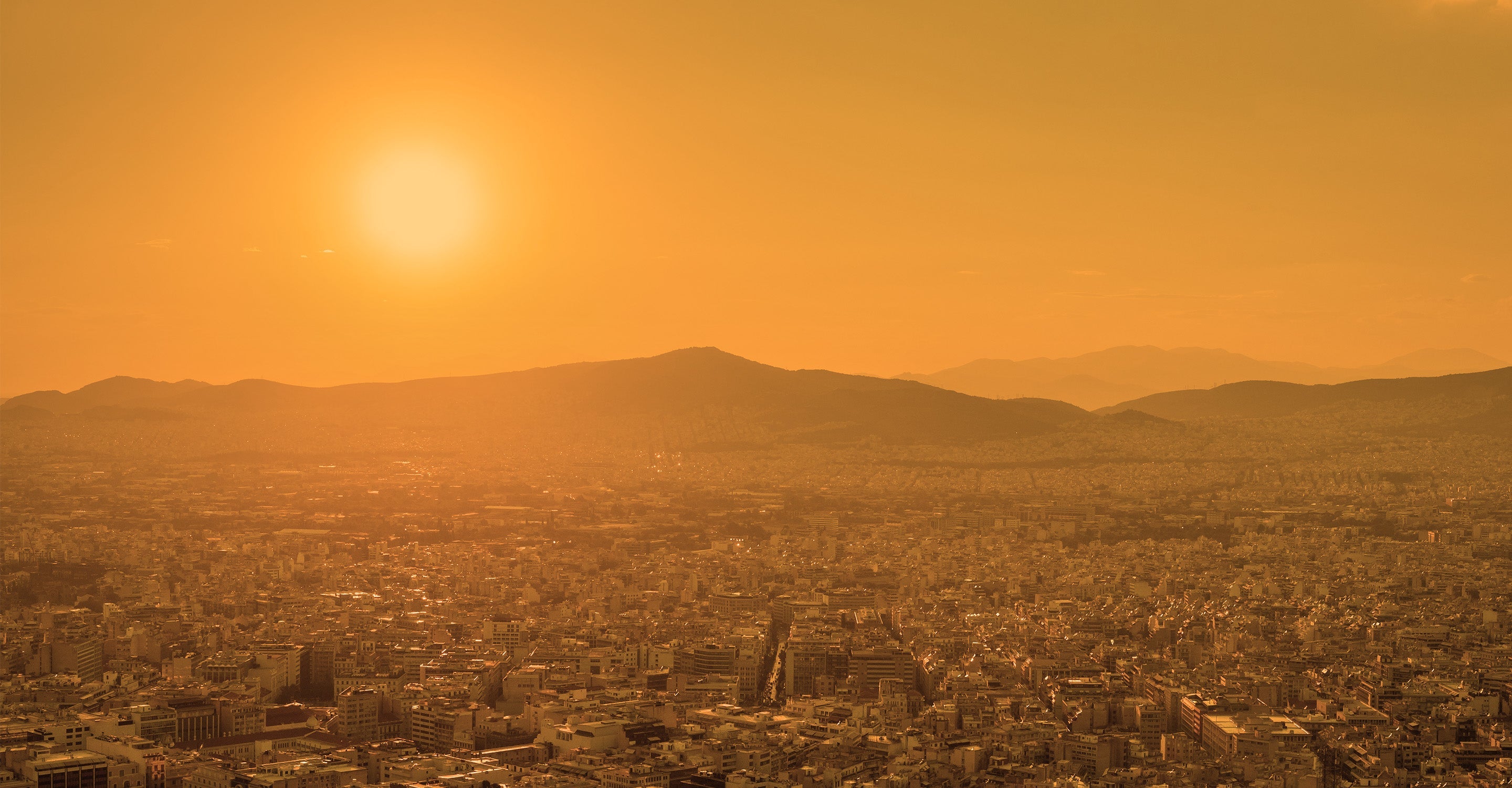
Philadelphia air quality map
Live air pollution map of Philadelphia
14.9K people follow this city
Live
Good
Moderate
Unhealthy for sensitive groups
Unhealthy
Very unhealthy
Hazardous
Full screen


Contributors
16
Stations
21
Contributors category
1
Government
0
Non-profit organization
0
Educational
0
Corporate
0
Individual
15
Anonymous
Most polluted air quality stations
| # | station | US AQI |
|---|---|---|
| 1 | FAB | 31 |
| 2 | Florence & St. Bernard | 31 |
| 3 | TOR | 29 |
| 4 | Center City | 28 |
| 5 | Pennsauken PM | 27 |
| 6 | RIT | 27 |
| 7 | New Milford | 24 |
| 8 | North Philadelphia | 23 |
| 9 | NEA | 22 |
| 10 | Norris Square Neighborhood | 21 |
Health Recommendations
 | Enjoy outdoor activities |
 | Open your windows to bring clean, fresh air indoors GET A MONITOR |
community highlight
Philadelphia most followed contributors

Become a contributor
Get an AirVisual Outdoor and contribute to collecting millions of data points for the Philadelphia map to track local air pollution
News
The latest air quality news and resources.


Understand air pollution and protect yourself
Philadelphia air quality data attribution
16Contributors
Government Contributor
 15 Anonymous contributors
15 stations
15 Anonymous Contributors
3 Data sources
 Data validated and calibrated by IQAir
Where is the cleanest air quality in Philadelphia?
- FAB 31
- Florence & St. Bernard 31
- TOR 29
- Center City 28
- Pennsauken PM 27
- RIT 27
- New Milford 24
- North Philadelphia 23
- NEA 22
- Norris Square Neighborhood 21
- Queen Village 21
- North Philadelphia-HACE - Villas 19
- North Philadelphia-PCW Hotspot 18
- North American Street 17
- University City 17
- University City home 17
- Northwest Philadelphia-124 W Gorgas 16
- Glen Gary Drive 15
- Martin Road 14
- Esperanza academy middle School 10
- Wildflower Way 1
Stay Informed. Download #1 air quality app
Air pollution forecast, pollution alerts and much more to help you plan your days and keep protected against air pollution


