Luftqualitätskarte für Riverside County
Live-Luftverschmutzungskarte für Riverside County • 18.9K Followers • 00:00, Jul 31 Ortszeit
IQAir Community MemberSouth Coast Air Quality Management District (South Coast AQMD)Twenty-Nine Palms Band of Mission IndiansPechanga Band of IndiansCalifornia Air Resources Board (CARB)USA National Park ServiceImperial County Department of Toxic Substance and Comite Civico del ValleDesert Mirage High SchoolMorongo Band of Mission IndiansCoachella Valley Unified School DistrictOasis Elementary SchoolAnonymous contributor
IQAir Community MemberSouth Coast Air Quality Management District (South Coast AQMD)Twenty-Nine Palms Band of Mission IndiansPechanga Band of IndiansCalifornia Air Resources Board (CARB)USA National Park ServiceImperial County Department of Toxic Substance and Comite Civico del ValleDesert Mirage High SchoolMorongo Band of Mission IndiansCoachella Valley Unified School DistrictOasis Elementary SchoolAnonymous contributor

Stationen
Einrichtungen mit sauberer Luft
Beitragende
13
Regierung
6Diplomatische Vertretung
0Gemeinnützige Organisation
1Bildung
3Unternehmen
0Gesundheitswesen
0Gastgewerbe
0Privatperson
3Top Beitragende in Riverside County
Wer teilt Luftqualitätsdaten im Freien in Riverside County?
Empfohlene Station
Entdecke einige der besten Stationinstallationen in Riverside County
Stationsgalerie

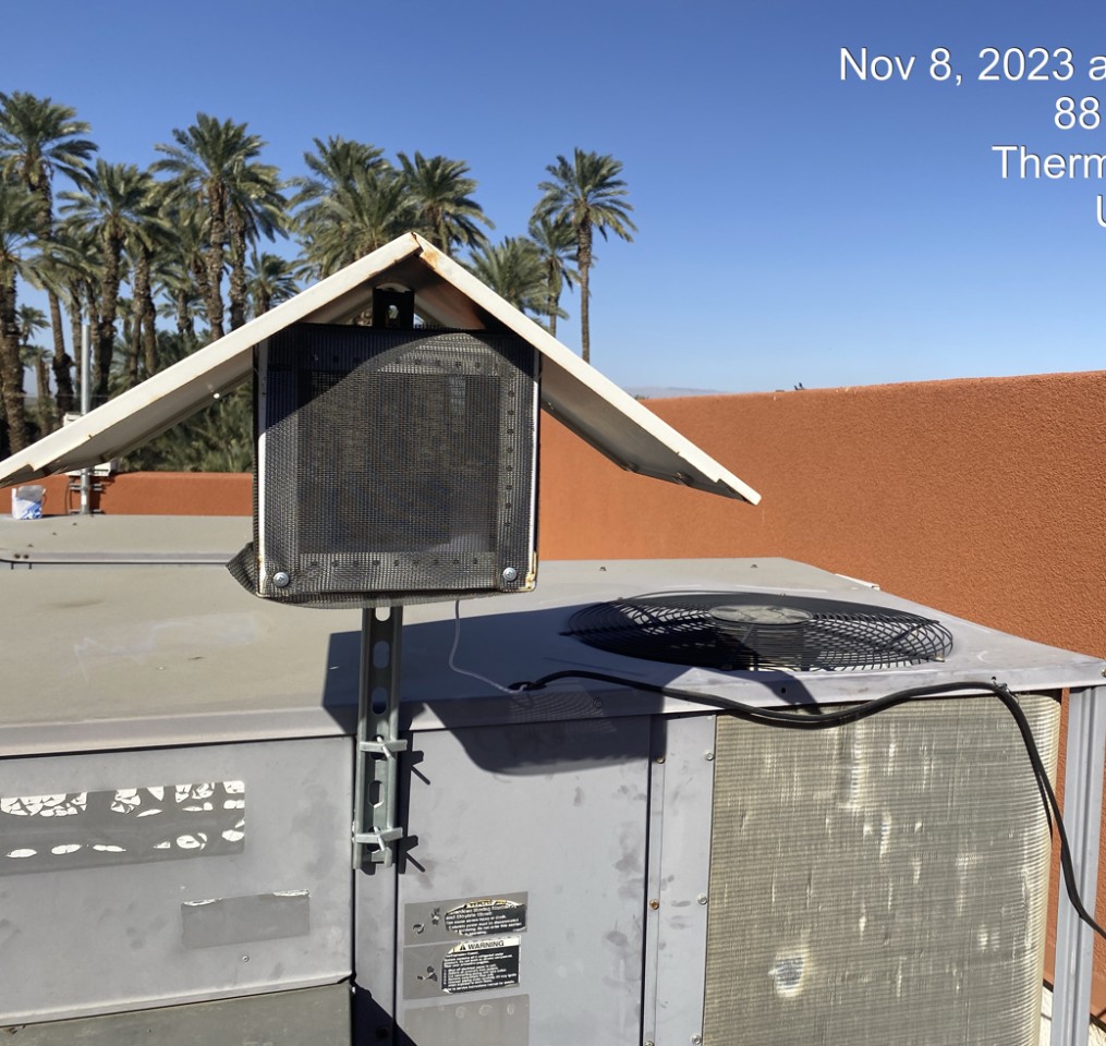
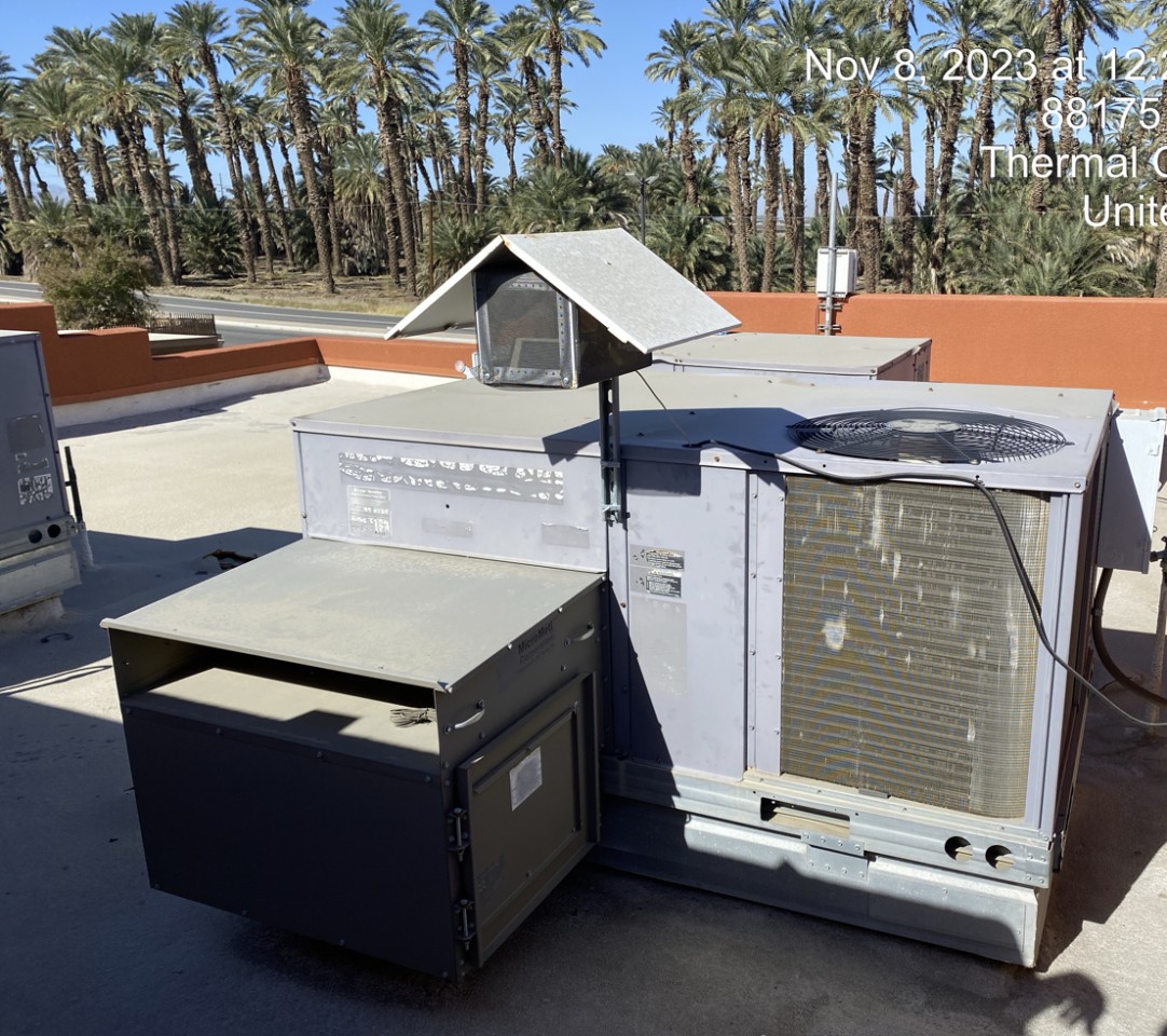
Oasis Elementary School (Coachella), Riverside County
49
Neueste Stationen im Einsatz in Riverside County
AQI⁺-StationsranglisteNeueste Stationen