

Thanh Hoa air quality map
Live air pollution map of Thanh Hoa
38.4K people follow this city

Full screen


Contributors category
0
Government
0
Educational
0
Non-profit organization
0
Corporate
0
Individual
0
Anonymous
Station(s) operated by
*IQAir’s AQI data modeled using satellite data. Learn more
Health Recommendations
 | Sensitive groups should reduce outdoor exercise |
 | Close your windows to avoid dirty outdoor air GET A MONITOR |
 | Sensitive groups should wear a mask outdoors GET A MASK |
 | Sensitive groups should run an air purifier GET AN AIR PURIFIER |
Thanh Hoa does not have air sensor data
Be the first to measure and contribute air quality data to your community.
News
The latest air quality news and resources.


Understand air pollution and protect yourself
Thanh Hoa MAP AIR QUALITY ANALYSIS AND STATISTICS
What information is available from the air pollution map for Thanh Hoa?
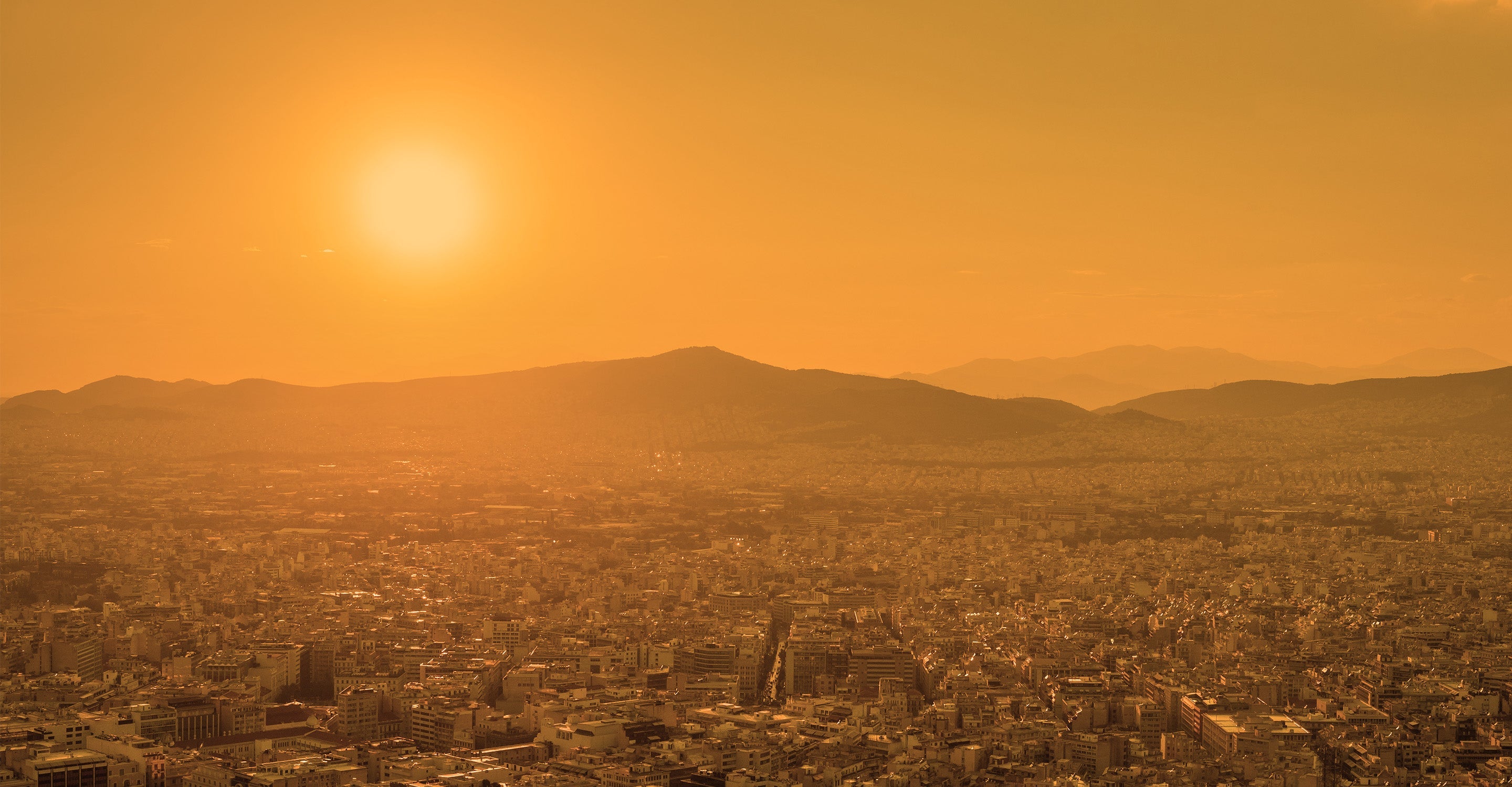
When the air quality map for Thanh Hoa is first opened the first thing to be noticed is the overall colour of the background to the map. This yellow/brown colour is an indication of the overall air quality in and around Thanh Hoa. The significance of the colours is explained in the legend at the foot of the screen. The colours go from pale green which represents good quality air to yellow, orange, red, purple and maroon which is the worst and shows hazardous quality. There is just one ground monitoring station in Thanh Hoa so there is not a lot of information available.
Looking at the air quality map for Thanh Hoa, four options can be seen on the left-hand side of the screen. These features can be turned on or off if desired or toggled for a clearer view of the map. The first choice reveals the location of any stations in and around the city. The second option shows where wildfires are burning (if any). The third option for air quality turns the overall colour of the map off which some people may find clearer to read without such a solid colour covering the entire area. The last option shows the direction of the wind. This is useful when there are fires burning because it shows which way the smoke will blow.
On the right-hand side of the screen is found a table which ranks other cities according to their air quality. This can be interesting when comparing air quality in your home city.
Can any other information be found by using the air pollution map for Thanh Hoa?
Any discs seen on the map will carry a colour to reflect the air quality at that time. They also show a number which is the US AQI reading. This number is an internationally recognised system endorsed by the World Health Organisation (WHO). It is calculated by measuring the levels of pollution of up to six of the most prolific pollutants. The US AQI number on the station nearest Thanh Hoa is 102 which signifies air quality from the “Unhealthy for sensitive groups” category. The main pollutant measured was PM2.5 with a level of 36.1 µg/m³ which is over seven times the target figure of 5 µg/m³ as suggested by the WHO. The US AQI number is used as a standard when comparing air quality around the world.
Ideally, the main city page and the air quality map for Thanh Hoa should be consulted simultaneously so as to get the maximum amount of information about the city.
On the main city page is found some brief advice showing some ideas to keep safe during times of high pollution. Simple ideas such as closing doors and windows to prevent the polluted air from easily entering the building, and advising people not to spend too much time outdoors until the air quality improves.
A concise weather forecast can be found further down the page which gives the temperature, humidity, wind speed and air pressure. This is followed by a daily forecast for the next few days which be valuable if you intend to travel imminently.
Is it possible to see the most polluted areas on the air quality map for Thanh Hoa?
This is not really possible because most of the information about air quality comes from the overhead satellites as there are no ground-level monitoring stations in Thanh Hoa.
Local residents may know of the local industrial zones or manufacturing plants which are often sources of higher levels of pollution. The city centre is often more polluted during the morning and evening commutes but this is a general observation and not based on hard facts.
Can the source of the air pollution be seen on the air quality map for Thanh Hoa?
The main sources of air pollution in Thanh Hoa province are mainly industrial activities, traffic activities, construction and cooking activities of the people.
Thanh Hoa province has four economic dynamic zones with four concentrated industrial zones, through the assessment of air quality due to industrial production activities, concentrations such as sulphur dioxide, nitrogen oxide, carbon monoxide and suspended dust have been found. At monitoring points, all of them exceed the acceptable standards by many times and the pollution level increases gradually over time.
Many of the landfill sites in the province are full to capacity and the decaying garbage emits foul smells which are not healthy for local residents.
Another problem is dust from the quarries and the constant string of heavy trucks travelling to and from the sites. Most of their loads are not covered and the sheer weight of the laden trucks causes huge amounts of dust. The wastewater they produce is a problem because it is usually stored in open ponds. During the dry season, these ponds dry out and the wind picks up the dusty residue and spreads it afar.
PM2.5 is often used on the air quality map for Thanh Hoa, but what is it?
Particulate matter (particles, PM) consists of small, airborne particles that can originate from combustion processes, or mechanical wear. Exposure to particulate matter in outdoor air can lead to health damage. Particulate matter varies in size and composition. The most commonly used are PM10 and PM2.5.
Combustion particles dominate in the fine/ultrafine fraction, while mechanically generated particles most often dominate in the coarse fraction. These fractions consist of a mixture of many different compounds, both organic and inorganic.
The most important sources of particulate matter (PM10 and PM2.5) are road traffic, firewood and long-distance pollution. Road traffic contributes most to the levels of airborne dust in many places, both with road dust from tyre and brake wear and asphalt wear and exhaust emissions.
Many residents in Thanh Hoa province use honeycomb charcoal for cooking. It is cheap to buy and easy to obtain but is highly pollutive inside the small rooms and kitchens where it is often used. Conversion to electricity or natural gas would reduce this problem but it will take many years before it is embraced by the majority.
Stay Informed. Download #1 air quality app
Air pollution forecast, pollution alerts and much more to help you plan your days and keep protected against air pollution


