


Berkeley air quality map
Live air pollution map of Berkeley • 119.5K Followers • 09:00, Nov 02 Local time

Stations
Clean Air Facilities
Contributors
74

Government
1
Diplomatic
0
Non-profit
0
Education
0
Corporate
0
Healthcare
0
Hospitality
0
Individual
73Top contributors in Berkeley
Who is sharing outdoor air quality data in Berkeley?
#
Contributor
Followers
1

Bay Area Air Quality Management District (BAAQMD)
Government
2
Chris
Individual
Newest stations deployed in Berkeley
AQI⁺ station ranking
Newest stations

Clean Air Facilities



Learn more about global air quality


Where is the cleanest air quality in Berkeley?
- 1234 Kains Ave Backyard0
- Elmwood in Berkeley, California0
- Jones Street0
- Shipwreck1
- Berkeley Hills Southampton 22
- Atlas Place3
- 1240 Ordway St4
- Berkeley Hills4
- COB South Berkeley Senior Center4
- Vine Street4
- 1024 Keith5
- Arden Road6
- Delaware Street6
- El Camino Real6
- San Fernando Avenue6
- Vicente Rd6
- Claremont7
- South Berkeley7
- Southampton Avenue7
- Jaynes Street 18
- The Uplands8
- 573 Santa Rosa9
- Contra Costa Avenue9
- Curtis and Francisco9
- Elmwood Benvenue and Woolsey9
- Fresno Avenue9
- Los Angeles Avenue9
- Tacoma Avenue9
- Whosabird9
- 1232 Kains Ave10
- 1642 Hopkins St10
- 2821-2801 Fulton St10
- 650 Creston Rd10
- GrizzlyPeak & Summit Road10
- Prince Street10
- Santa Clara Avenue10
- 1887-1849 Catalina Ave11
- 2099-2083 Jefferson Ave11
- Cowper Street11
- High Court11
- Hilgard Avenue11
- Panoramic Way11
- 2650 Shasta Road12
- Terrace View12
- Chu Road13
- Valley Street13
- Woodmont Avenue13
- Boynton Ave14
- Cedar Street Outside14
- North Berkeley 214
- City of Berkeley Fire Station 615
- Ecole Bilingue de Berkeley16
- Hilgard Hall17
- The Crescent17
- 2607 Webster Street18
- Claremont 218
- Fairview and King18
- McKinley Avenue18
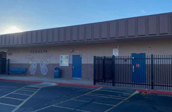
- Peralta ES18
- Cat Resource Center19
- Josephine Street19
- Berkeley Aquatic Park22
- Stanley Hall24
- VLSB24
- Etna Street25
- Southwest Berkeley28
- Wildcat Canyon / Grizzly Peak / Spruce29


