


Kamloops air quality map
Live air pollution map of Kamloops • 42.3K Followers • 07:00, Nov 20 Local time


Stations
Clean Air Facilities
Contributors
30

Government
2
Diplomatic
0
Non-profit
0
Education
0
Corporate
0
Healthcare
0
Hospitality
0
Individual
28Top contributors in Kamloops
Who is sharing outdoor air quality data in Kamloops?
Featured station
Discover some of the best station installation in Kamloops
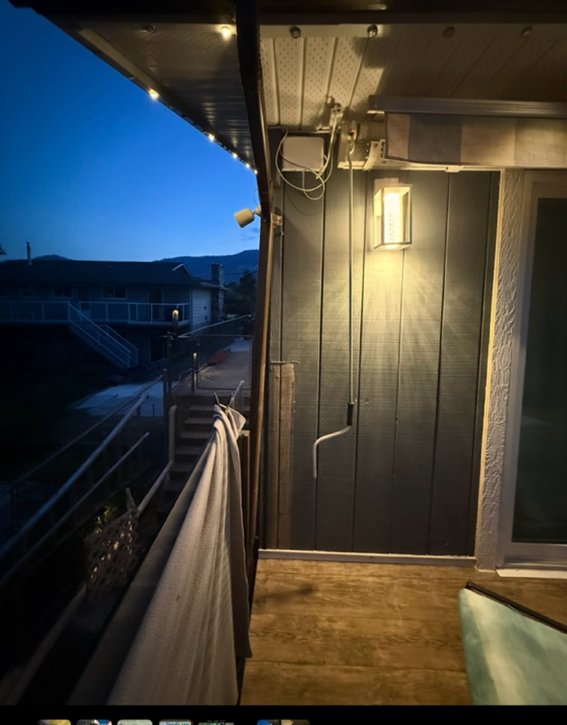
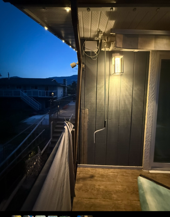
Station gallery

Overlander Dr Westsyde AirVisual Outdoor - 47XQ, Kamloops
42
Newest stations deployed in Kamloops
AQI⁺ station ranking
Newest stations




Learn more about global air quality


Where is the cleanest air quality in Kamloops?
- Canongate Crescent28
- Watch Lake Fire Dept32
- Knutsford33
- Deleeuw Road - Knutsford39
- Kamloops Federal Building39
- Emerald drive40
- Greenstone Drive40
- Princeton-Kamloops Highway40
- Galloway Place41
- Highridge Drive 142
- Overlander Dr Westsyde AirVisual Outdoor - 47XQ42
- Juniper Ridge45
- Pineview45
- Barnhartvale47
- Pratt Road47
- Mount Dufferin48
- Sunshine CRT52
- Sicamore Drive53
- Valleyview Secondary School56
- Brocklehurst58
- Barriere Spruce Crescent59
- Cantle Drive60
- Rayleigh60
- Seymour Street West60
- Upper Sahali63
- Sun Rivers Community64
- Valleyview64
- CCDS-Kamloops66
- City Centre94


