
Qualité de l’air près de Myatt’s Fields Park, London
Indice de qualité de l’air (IQA⁺) et pollution de l’air (PM2.5) près de Myatt’s Fields Park, London • 57 Abonnés • 15:00, juin 15 Heure locale
17
IQA⁺ USBon

Polluant principal:
PM2.5
3 µg/m³
21°
14 km/h
46 %
Prévisions horaires
Prévision de l’indice de qualité de l’air (IQA⁺) à Myatt’s Fields Park, London
Prévisions quotidiennes
Prévision de l’indice de qualité de l’air (IQA⁺) à Myatt’s Fields Park, London
| Aujourd’hui | 30 | 22° 13° | 14 km/h | 66% | |
| mar. | 48 | 23° 15° | 14 km/h | 67% | |
| mer. | 50 | 90% | 23° 16° | 17 km/h | 78% |
Polluants atmosphériques
Quelle est la qualité de l’air près de Myatt’s Fields Park?
La concentration de PM2,5 respecte actuellement la valeur seuil annuelle de l'OMS pour les particules PM2,5.
Recommandations de santé
Enjoy outdoor activities |
Open your windows to bring clean, fresh air indoors Get a monitor |
Pollen
Quelle est la densité de pollen à Myatt’s Fields Park aujourd'hui ?
Indice

Faible
Arbre Aucun | 0% |
Graminées Faible | 25% |
Mauvaise herbe Aucun | 0% |
Source:
Open-Meteo.com
Carte de la pollution de l'air à Myatt’s Fields Park, London en temps réel
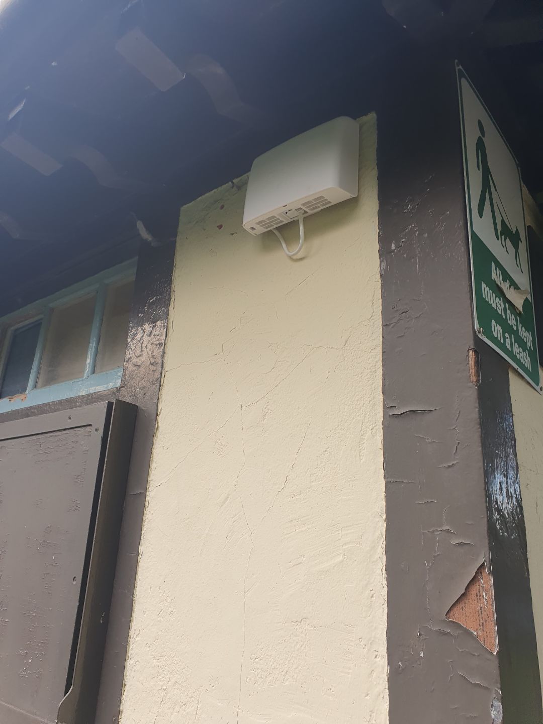
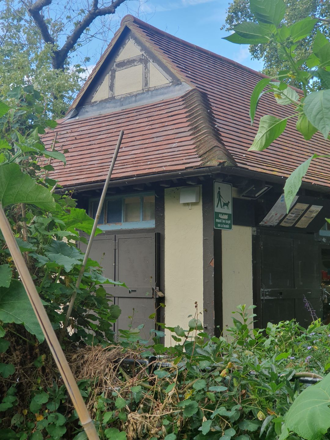
Galerie de la station
Protégez-vous de la pollution de l’air à Myatt’s Fields Park

Surveillez l'air que vous respirez
Obtenez des relevés précis de la qualité de l'air AirVisual et des informations en temps réel pour un air plus pur. Les moniteurs révèlent les sources de pollution et indiquent quand il est nécessaire d'utiliser un purificateur d'air.

Purificateurs d'air de qualité médicale
Reconnue dans le monde entier, la série HealthPro Series utilise la technologie HyperHEPA. Elle filtre les particules ultrafines que les autres purificateurs d'air ne parviennent pas à détecter, offrant ainsi une protection de qualité médicale.

Des purificateurs d'air puissants et élégants
Compacte et puissante, la série Atem associe l'ingénierie suisse à une purification de l'air haute performance, filtrant les particules ultrafines grâce à la technologie HyperHEPA.
Pollen
Quelle est la densité de pollen à Myatt’s Fields Park aujourd'hui ?
Indice
Faible
Arbre Aucun | 0% |
Graminées Faible | 25% |
Mauvaise herbe Aucun | 0% |
Source:
Open-Meteo.comHistorique de la qualité de l’air près de Myatt’s Fields Park
Historique
Graphique de l’historique de la qualité de l’air à Myatt’s Fields Park
Measure your own air quality
Get a monitor and contribute air quality data in your city.
Endroits les plus pollués près de Myatt’s Fields Park, London
Classement IQA⁺ mondialClassement des stations
Classement IQA⁺ des stations en direct à Myatt’s Fields Park
Classement des villes
Classement IQA⁺ en temps réel de la ville : United Kingdom
Obtenez les données complètes sur la qualité de l'air à Myatt’s Fields Park, London


Téléchargez notre application sur la qualité de l'air
En savoir plus sur la qualité de l’air mondiale


Où l’air est-il le plus propre à London?
- LARA-east6
- Coopers Lane9
- LARA West11
- N6 6NA 211
- Tower Hamlets Roadside11
- 101 Euston Road opposite British Library17
- Elsley Primary School17
- Myatt’s Fields Park17
- Offord Road Green Alliance17
- Old Farm Ave Allotment17
- Rosemead Preparatory School & Nursery17
- Sunny Hill, Hendon17
- Wellington Square17
- 1-8 Dukes Point20
- A1203 - Shadwell22
- Ashmead School, SE822
- Highgate West Hill Resident22
- Lavender Hill (Clapham Jct)22
- London Marylebone Road22
- Royal Street22
- Stamford Street22
- Warwick Road22
- Weymouth Avenue - Little Ealing Lane22
- Willesden High Street22
- Ealing John Perryn Primary School23
- Lynton Road23
- Blackwall24
- Cromwell Road24
- Ferrymans Quay25
- South Circular Road26
- Guildhall27
- London Westminster27
- Columbia Road Primary School28
- Concert Hall Approach28
- Connaught Village28
- Cricklewood Lane28
- Elthorne Park & Leighton Roads Residents Association28
- Falconwood28
- Gunthorpe St28
- Hackney New Primary School28
- Harlesden High Street28
- Hounslow Brentford28
- N6 6NA28
- Northumberland Place28
- Oakley St28
- Porchester Road28
- Science Museum28
- Scotch House Corner - Westminster28
- Sloane Street28
- The Aldgate School28
- Upper Ground28
- Victoria Park Harriers28
- Wentworth St28
- Haringey Wood Green29
- London Bloomsbury29
- Tower Bridge Road29
- Ealing Acton Background31
- Groombridge Road-LBHPA1a31
- London N. Kensington31
- HF 7 - Riverwalk32
- HF 9 - Sands End32
- London Farringdon Street32
- London Honor Oak Park32
- A206 Burrage Grove33
- Hammersmith Town Centre33
- John Harrison Way33
- Kew Gardens33
- Linden Children's Centre33
- London Haringey Priory Park South33
- Sloane Square33
- Waterloo Road33
- Wormwood Scrubs33
- Newham34
- Air on the Green39
- Bowes Primary School39
- Cam Road39
- Green Westbourne39
- Hackney Homerton Library39
- Imperial War Museum39
- Southwark Elephant and Castle39
- St Matthew's Road, Brixton39
- Wren Close39
- Tally Ho41
- ICWCS44
- Belvedere44
- Hackney Old Street44
- Imperial College White City - Scale Space44
- Lancaster West RA44
- London Barnet Chalgrove School44
- Plumstead High Street44
- Serpentine Gallery44
- Southwark A2 Old Kent Road44
- St Francis of Assisi44
- Donald Road46
- Altab Ali Park50
- Falcon Building, Bloomsbury50
- Waterloo Place (The Crown Estate)50
- Whitfield Nursery Playground50
- Camden Kerbside53
- Earls Court Road53
- Merton Road53
- National Gallery53
- Westhorne Avenue (reference co-location)53
- Hackney Dalston Lane55
- Barking Food Forest56
- Brent Ikea (reference co-location)56
- Tooting High Street56
- Waltham Forest Leyton56
- Fiveways Sidcup Rd A2058
- Mary Immaculate and St. Peter's Church58
- Greenwich Woolwich Flyover60
- Waltham Forest Dawlish Rd60
- Blackheath62
- Regent Street (The Crown Estate)62
- Shepherds Bush64
- Hounslow Heston69
- Hackney Amhurst Road71
- Waltham Crooked Billet75


