

Air quality near Myatt’s Fields Park, London
Air quality index (AQI⁺) and PM2.5 air pollution near Myatt’s Fields Park, London • 57 Followers • 05:00, Jun 08 Local time
26
US AQI⁺Good

Main pollutant:
PM2.5
4.6 µg/m³
14°
8 km/h
87 %
Hourly forecast
Myatt’s Fields Park, London air quality index (AQI⁺) forecast
Daily forecast
Myatt’s Fields Park, London air quality index (AQI⁺) forecast
| Today | 28 | 90% | 18° 14° | 16 km/h | 67% |
| Tue | 15 | 17° 10° | 18 km/h | 56% | |
| Wed | 15 | 90% | 16° 10° | 14 km/h | 67% |
Air pollutants
What is the current air quality near Myatt’s Fields Park?
PM2.5 concentration currently meets the WHO annual PM2.5 guideline.
Health recommendations
Enjoy outdoor activities |
Open your windows to bring clean, fresh air indoors Get a monitor |
Pollen
What is the pollen count in Myatt’s Fields Park today?
Index

High
Tree Low | 25% |
Grass High | 75% |
Weed None | 0% |
Source:
Open-Meteo.com
Real-time Myatt’s Fields Park, London air pollution map
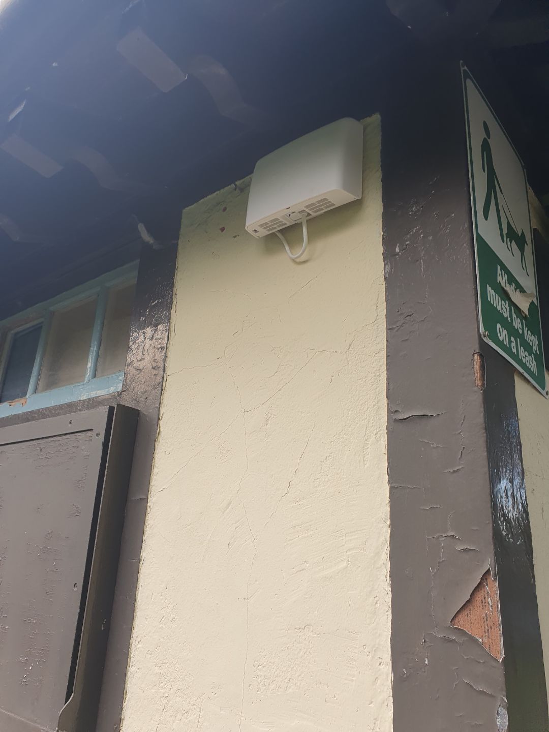
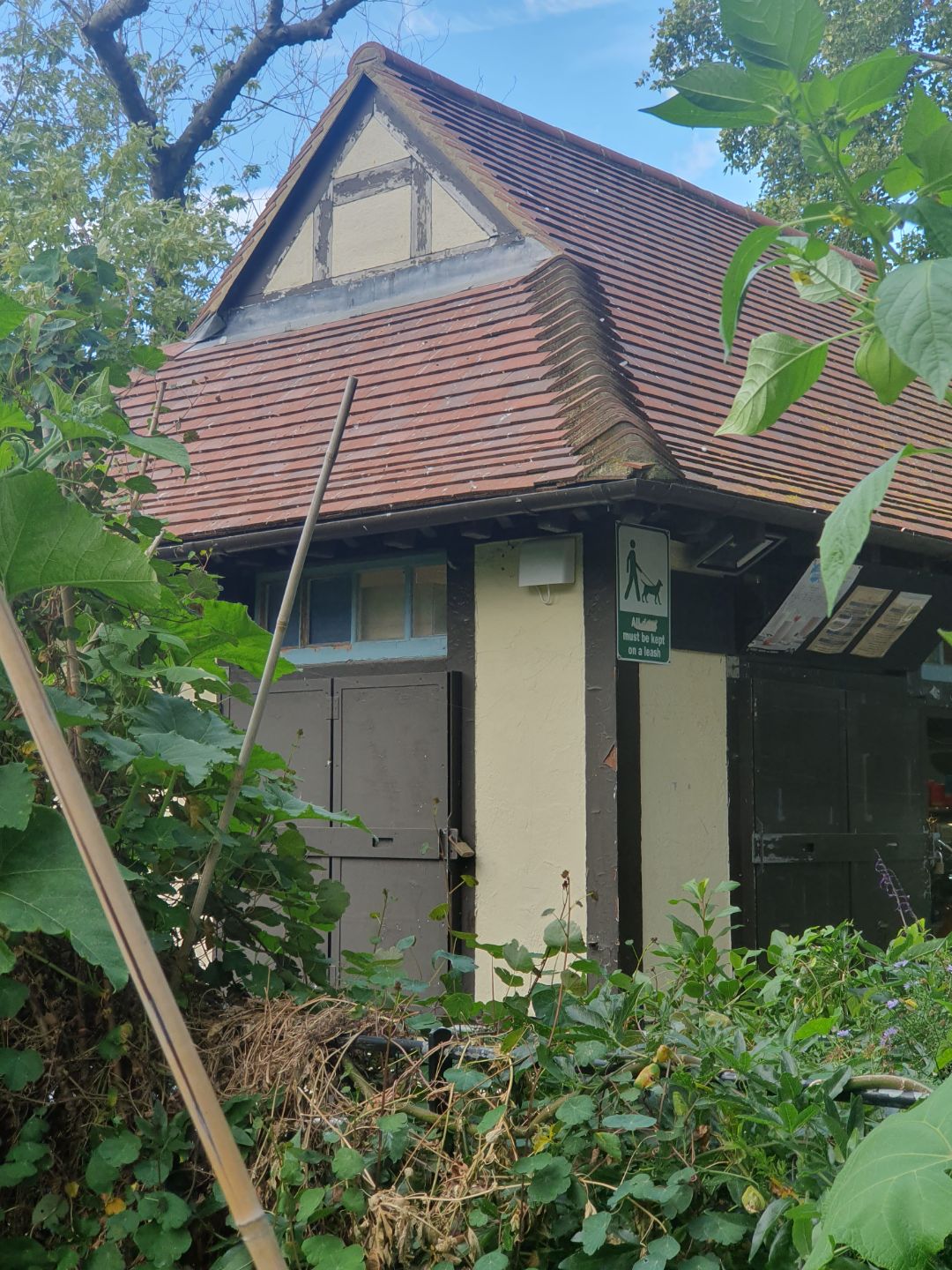
Station gallery
Protect yourself from air pollution in Myatt’s Fields Park

Monitor the air you breathe
Get accurate AirVisual air quality readings and real-time insights for cleaner air. Monitors that reveal pollution sources, highlight when air purifier use is needed.

Medical grade air purifiers
Trusted worldwide, the HealthPro Series uses HyperHEPA technology. Filters ultrafine particles other air purifiers miss, delivering medical-grade protection.

Powerful, stylish air purifiers
Compact and powerful, the Atem Series combines Swiss engineering with high-performance air purification, filtering ultrafine particles with HyperHEPA technology.
Pollen
What is the pollen count in Myatt’s Fields Park today?
Index
High
Tree Low | 25% |
Grass High | 75% |
Weed None | 0% |
Source:
Open-Meteo.comHistoric air quality near Myatt’s Fields Park
History
Historic air quality graph for Myatt’s Fields Park
Measure your own air quality
Get a monitor and contribute air quality data in your city.
Most polluted locations near Myatt’s Fields Park, London
Worldwide AQI⁺ rankingStation ranking
Real-time Myatt’s Fields Park AQI⁺ station ranking
Get comprehensive data about air quality in Myatt’s Fields Park, London


Download our Air Quality App
Learn more about global air quality


Where is the cleanest air quality in London?
- Donald Road13
- Newham13
- Groombridge Road-LBHPA1a17
- John Harrison Way17
- London Honor Oak Park17
- Rosemead Preparatory School & Nursery17
- LARA-east21
- Belvedere22
- London Bloomsbury22
- London N. Kensington22
- Northumberland Place22
- Southwark A2 Old Kent Road22
- Wellington Square22
- London Teddington Bushy Park23
- London Haringey Priory Park South24
- London Marylebone Road24
- London Westminster24
- 101 Euston Road opposite British Library26
- Highgate West Hill Resident26
- London Farringdon Street26
- Myatt’s Fields Park26
- Sunny Hill, Hendon26
- Barnes Wetlands27
- Old Farm Ave Allotment27
- Bowes Primary School28
- Elsley Primary School28
- LARA West28
- N6 6NA 228
- Regent Street (The Crown Estate)28
- A206 Burrage Grove29
- N6 6NA29
- Westhorne Avenue (reference co-location)32
- Lavender Hill (Clapham Jct)33
- Waterloo Place (The Crown Estate)33
- Altab Ali Park39
- Barking Food Forest39
- Camden Kerbside39
- Falcon Building, Bloomsbury39
- Imperial College White City - Scale Space39
- Imperial War Museum39
- Kew Gardens39
- Lancaster West RA39
- Linden Children's Centre39
- Mary Immaculate and St. Peter's Church39
- Offord Road Green Alliance39
- Serpentine Gallery39
- Southwark Elephant and Castle39
- St Francis of Assisi39
- Stamford Street39
- Tower Hamlets Roadside39
- Whitfield Nursery Playground39
- Air on the Green44
- Blackheath44
- Green Westbourne44
- Hackney New Primary School44
- Oakley St44
- Porchester Road44
- Royal Street44
- St Matthew's Road, Brixton44
- Tooting High Street44
- Weymouth Avenue - Little Ealing Lane44
- Plumstead High Street48
- A1203 - Shadwell50
- ICWCS50
- Ashmead School, SE850
- Brent Ikea (reference co-location)50
- Columbia Road Primary School50
- Concert Hall Approach50
- Connaught Village50
- Cricklewood Lane50
- Elthorne Park & Leighton Roads Residents Association50
- Falconwood50
- Fiveways Sidcup Rd A2050
- Gunthorpe St50
- Harlesden High Street50
- National Gallery50
- Putney Weimar Street50
- Science Museum50
- Scotch House Corner - Westminster50
- Sloane Square50
- Sloane Street50
- Upper Ground50
- Warwick Road50
- Willesden High Street50
- Victoria Park Harriers53
- Waterloo Road53
- Wentworth St53
- Merton Road55


