


San Antonio air quality map
Live air pollution map of San Antonio • 77.9K Followers • 01:00, Nov 14 Local time


Stations
Clean Air Facilities
Contributors
34

Government
1
Diplomatic
0
Non-profit
0
Education
0
Corporate
0
Healthcare
0
Hospitality
0
Individual
33Top contributors in San Antonio
Who is sharing outdoor air quality data in San Antonio?
Featured station
Discover some of the best station installation in San Antonio
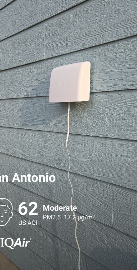

Station gallery

Crescent Hills, San Antonio
47
Newest stations deployed in San Antonio
AQI⁺ station ranking
Newest stations




Learn more about global air quality


Where is the cleanest air quality in San Antonio?
- CPS Pecan Valley0
- River North Drive 16
- Olmos Park Terrace19
- South San Antonio19
- 205 Hot Wells Blvd21
- Greystone Ridge21
- Oakmont Ct.21
- Donella28
- SouthSan Community Center28
- 1826-1912 E Pyron Ave30
- 66 Service Rd30
- Support Services Facility F31
- New Laredo Highway32
- 743 SW Military Dr37
- 3311 Calle De Luz39
- 1318-1300 Snyder St40
- 1601-1611 Saunders Ave40
- 6698-6600 Curtis St40
- 2312 Pleasanton Rd41
- 398-300 Walton Ave42
- 400-528 E Pyron Ave42
- San Antonio Bulverde Parkway C108743
- 198-114 Grosvenor Blvd44
- 607 Montezuma St45
- Crescent Hills47
- 2094-2000 W Cesar E Chavez Blvd48
- 299-207 E Huff Ave48
- 417-435 N Park Blvd48
- 2001-2299 Beechaven Dr51
- 1898-1816 El Paso St52
- 2398-2300 S Trinity St55
- 300-374 Sussex Ave55
- Trenton St58
- 1516-1000 S Elmendorf St62
- LIME Factory71
- San Antonio Old Hwy90 C67774
- 2720 Vera Cruz79


