


Reno air quality map
Live air pollution map of Reno • 152.8K Followers • 01:00, Nov 14 Local time





Stations
Clean Air Facilities
Contributors
55

Government
2
Diplomatic
0
Non-profit
0
Education
0
Corporate
0
Healthcare
0
Hospitality
0
Individual
53Top contributors in Reno
Who is sharing outdoor air quality data in Reno?
Featured station
Discover some of the best station installation in Reno
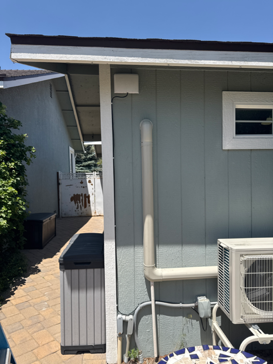
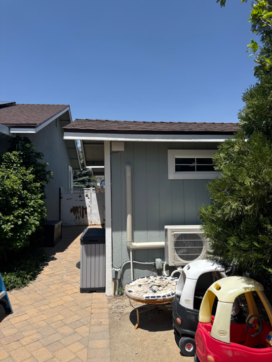
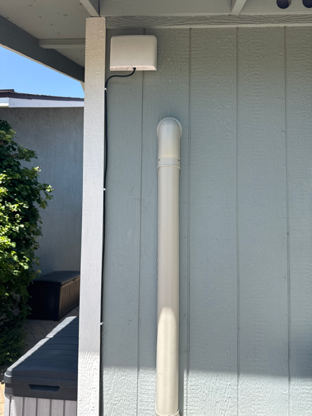
Station gallery

Cold Springs, Reno, Reno
18
Newest stations deployed in Reno
AQI⁺ station ranking
Newest stations




Learn more about global air quality


Where is the cleanest air quality in Reno?
- Eagle Chase0
- 4400 Plumas St3
- Caughlin Creek Road3
- Champion Hills Drive3
- Heatheridge Lane3
- Last Chance Ditch, Belford Rd.3
- Mayberry Drive3
- Mueller Dr and Dant Blvd3
- West 2nd Street4
- 10395 Alchemy Wy6
- 2460 Mountain Spirit Trail6
- Northwest Reno6
- Northwest Reno 26
- High Desert Montessori School7
- Sassafras Trail7
- North Valleys 18
- Pineridge at Whiteridge Cir8
- Porter House8
- Westergard ES8
- Nevada Athletics9
- UNR PHYS Outside9
- 1810 Auburn Way10
- 2090 Keystone Avenue10
- Verdi Vista Court10
- 5354 Tappan Court11
- Lakeside Drive11
- North Valleys11
- Westwood Drive11
- Trademark Drive12
- Greater Nevada Field13
- Washington Roundabout13
- West University13
- Water Willow St15
- 1406-1436 Snow Summit Dr16
- Teglia Paradise Park Activity Center17
- 9847-9883 Copenhagen Way18
- Cold Springs, Reno18
- Gooseberry Court19
- Foxberry Park Drive21
- Gemtown Drive24
- Dutch Draft Drive25
- Kentfield Park25
- NNPH AQMD BC126
- Willie J Wynn26
- Cascade Stable28
- Fred Traner Middle School28
- Reno428
- Ridgeline28
- Reno, NV31
- Reno4 NCore Node B31
- Reno4 NCore Node A33
- Reno-Tahoe International Airport44
- Reno4 NCore Node C46
- Mira Loma49
- Clovis Point and Mojave Sky62


