
Air Quality 
Air Monitors
Air Purifiers
For Business
News
Support

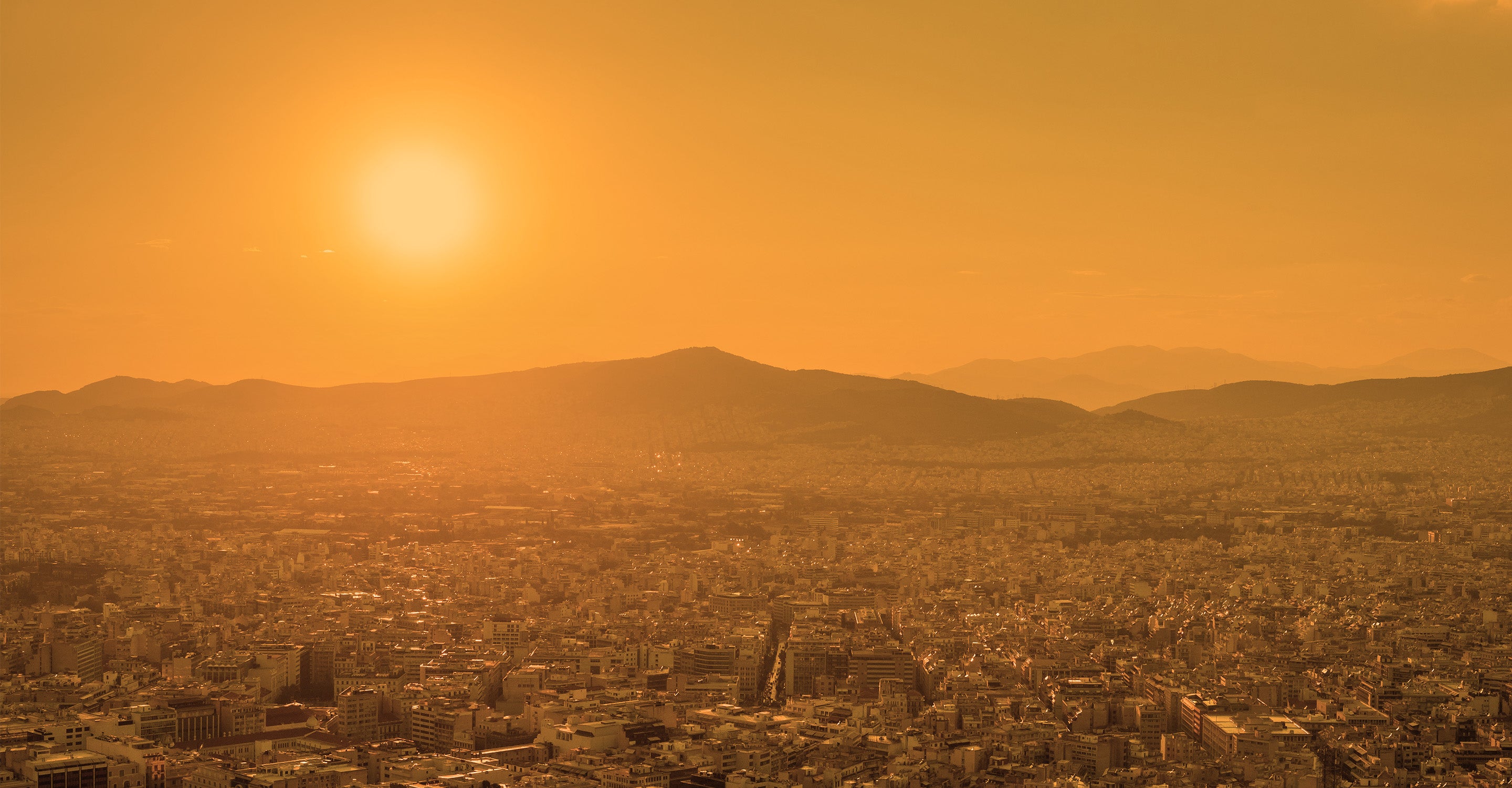
San Francisco air quality map
Live air pollution map of San Francisco
579K people follow this city
Live
Good
Moderate
Unhealthy for sensitive groups
Unhealthy
Very unhealthy
Hazardous
Full screen


Contributors
237
Stations
236
Contributors category
2
Government
1
Non-profit organization
1
Educational
0
Corporate
5
Individual
228
Anonymous
Most polluted air quality stations
| # | station | US AQI |
|---|---|---|
| 1 | Shore View Ave | 65 |
| 2 | Sunset Co-op Nursery School | 65 |
| 3 | Downey Street | 61 |
| 4 | Safer Together/Bernal | 41 |
| 5 | Baker Beach | 39 |
| 6 | Potrero Hill 2 | 38 |
| 7 | House Guerrero | 34 |
| 8 | 3398 Baker Street | 33 |
| 9 | James Lick | 30 |
| 10 | Jersey and Vicksberg II | 29 |
Health Recommendations
 | Enjoy outdoor activities |
 | Open your windows to bring clean, fresh air indoors GET A MONITOR |
community highlight
San Francisco most followed contributors

Become a contributor
Get an AirVisual Outdoor and contribute to collecting millions of data points for the San Francisco map to track local air pollution
News
The latest air quality news and resources.


Understand air pollution and protect yourself
San Francisco air quality data attribution
237Contributors
 California Air Resources Board (CARB)
1 station
2 Government Contributors
- Safer Together San Francisco
1 station
Non-profit organization Contributor

- Sunset Co-op Nursery School
1 station
Educational Contributor

 Pat Conway
1 station
 Aaron Solochek
1 station
- Travis Thompson
1 station
- chono
1 station
- bearklaw
1 station
5 Individual Contributors
 228 Anonymous contributors
228 stations
228 Anonymous Contributors
5 Data sources
 Data validated and calibrated by IQAir
Where is the cleanest air quality in San Francisco?
- Shore View Ave 65
- Sunset Co-op Nursery School 65
- Downey Street 61
- Safer Together/Bernal 41
- Baker Beach 39
- Potrero Hill 2 38
- House Guerrero 34
- 3398 Baker Street 33
- James Lick 30
- Jersey and Vicksberg II 29
- Park Hill Avenue 29
- Illinois Street 27
- 150 Parker Ave. 26
- 6th and Hugo Street 26
- Bernal Street 26
- Buchanan and Broadway 26
- Churchill Park 26
- Mission District 2 26
- Outer Sunset 4 26
- Telegraph Hill 26
- 15th and Noe Street 25
- Bernal Heights 25
- Broadway between Hyde and Larkin 25
- Lakeshore 25
- Rincon Hill 25
- 18thAve/TaravalUlloa 24
- 607 Andover Street 24
- Brannan St 24
- Noe Valley 2 24
- Russ Street 1 24
- 19 St Charles Avenue 23
- 215 Connecticut St 23
- 300 block Russia 23
- 4256 22nd Street 23
- Castenada Avenue 23
- Filbert Street 23
- Kensington Way 23
- Mid Liberty Street 23
- Miraloma Park O'Shaughnessy 23
- Outer Sunset-2340 42nd Ave 23
- Pacific Heights-GEOHealth_VMT_Basadre 23
- Roosevelt Way 23
- South Beach Marina Apartments 23
- 100 Block Andover 22
- 29th Ave and Judah 22
- 427 Kirkham Street 22
- Anza Street 22
- California Tennis Club 1770 Scott 22
- Grand View Avenue 22
- Haight Street 22
- Hazelwood at Mangels 22
- Lombard Street 22
- Molimo Drive 22
- Ripley Street 22
- Santa Rosa Avenue 22
- St Helena Cooperative Nursery School 22
- The Hamlin School #2 22
- Tompkins Avenue 22
- 2318 Fillmore Street 21
- 491 Corbett Avenue 21
- 512 College Avenue 21
- 540 Victoria Street 21
- Anza Vista-the_balbs 21
- Bryant & 26h Street Intersection 21
- Cole Valley 21
- De Haro Blvd 21
- Flood Avenue 21
- Highland Avenue 21
- Inner Sunset 2 21
- Lake & 21st Avenue 21
- Pioneer Park 21
- Scott Street 21
- Silver Terrace 21
- Sunnyside 21
- West of Twin Peaks 2 21
- 144 Funston Avenue 20
- 1448 Plymouth Avenue 20
- 1741-1701 Mason St 20
- 3801 21st Street 20
- 645 Greenwich Street 20
- 662 Cayuga Ave 20
- 884 Silver Avenue 20
- 8th and Kirkham 20
- Ashbury St 20
- Diamond Street & Conrad Street 20
- Dolphin Club 20
- Forest Side 20
- Gladys Street 20
- Golden Gate Height 20
- Mission District 20
- Mission District & Osage Street 20
- Mojave Street 20
- Nob Hill 20
- Noe Street 2 20
- Pacheco Street 20
- Pacific Heights 2 20
- Quintara Street 2 20
- SF Maritime NHP 20
- Sanchez Street 20
- Sherwood Forest 20
- Staples Avenue 20
- Sunnyside St 20
- Walter Street 20
- 116 Marietta Drive 19
- 15th and Castro St. 19
- 1770 McKinnon Avenue 19
- 181-47 Dalewood Way 19
- 313 Shotwell Street 19
- 35 Keyes Ave 19
- 575 Magellan Avenue 19
- Capp Street Garden 19
- CesarChavezDolores 19
- Church Street & Liberty Street 19
- Congo Street 19
- Edgehill Open Space Park 19
- Green Street 19
- India Basin 19
- Pacific Primary 19
- Richland near Leese 19
- San Jose Ave and Ocean Ave 19
- Sunnyside 2 19
- Tennessee Street 19
- Valley Street 19
- Visitacion Valley 19
- 10th and Fulton Deck 18
- 2635 16th Avenue 18
- 29th Avenue 18
- 351 Magellan Ave 18
- 4078 Cesar Chavez 18
- 915 Cayuga Ave 18
- Cameo Way 18
- Cow Hollow 18
- Inner Sunset 18
- Jackson & Walnut 18
- Kirkham Street 18
- Lakeview near Margaret 18
- McLaren Avenue 18
- Mississippi Street 18
- Oakdale Avenue 18
- Portola Street 18
- Sea Cliff 18
- Tank Hill 18
- Tiffany Avenue 18
- 4066 23rd Street 17
- 4362 24th Street 17
- Bernal Heights 4 17
- Chenery St 500 block 17
- Cumberland Street 17
- Laguna Street 17
- Page Street 17
- Quarry Road 17
- Vicksburg Street 17
- 21st & Balboa 16
- 32nd Avenue 16
- 34th Avenue & Cabrillo Street 16
- Banks Street 16
- CEEP at Star 16
- California Street 16
- Capitol Avenue 16
- Dolores and 28th 16
- Hickory Street 16
- McAllister 16
- Noe Valley 16
- Parkmerced 16
- Sunnyside Elementary School 16
- 151 10th Avenue 15
- 23rd Street & 3rd Street 15
- 5235 Diamond Heights Boulevard 15
- Baker St 15
- Dolores Park 15
- Duboce Triangle 15
- Gambier Street & Burrows Street 15
- Greenwich 15
- LH Webster 15
- Mission Bernal Hospital 15
- Russian Hill Leavenworth 15
- 141 6th Avenue 14
- 4010 Eureka Valley 14
- Clement Street 14
- Hill House 14
- Mid The Page Street 14
- Mountain Lake Park 14
- Pacific Avenue 14
- Pine Street 14
- Sait Germain Avenue 14
- San Carlos Street 14
- Upper Elsie Coyotes 14
- Valencia Street 14
- Balboa Street 13
- Grenard Terrace 13
- Lippard Avenue 13
- Twin Peaks 13
- Greenwich Street 12
- Greenwich and Laguna 12
- West of Twin Peaks 12
- 2899 Vallejo Street 11
- California College of The Arts 11
- Cortland Avenue 11
- Financial District 11
- Golden Gate 11
- McAllister Street 11
- Mount Davidson Manor 11
- Potrero Hill 18th & Mississippi 11
- Rivoli Street 11
- Shipley Street 11
- Stanyan Street 11
- States Street 11
- 333 Diamond Street 10
- 4181 26th Street 10
- Espirit Park Roof 10
- Ingleside Terraces 10
- Potomac Street 10
- Potrero Hill 3 10
- Upper Shrader Cole Valley 10
- Warren Lex World Headquarters 10
- 44 Fifth Avenue 9
- Maynard Street 2 9
- The Little School 9
- Hidden Garden Steps 8
- Mendell & La Salle Ave 8
- Moraga Street 8
- Saint Germain Avenue 8
- 121 Day Street 7
- Presidio Heights 6
- Outer Sunset 40th & Irving 5
- Castro Duncan Open Space 3
- Garfield Street 3
- Hudson Avenue 3
- Pine Street & California Street 3
- Mission District - San Jose Avenue 2
- 1728 Diamond Street 1
- 4031 21st Street 1
- Chenery St 1
- Clayton St 1
- Western Addition 1
- El Sereno Court 0


