
Air Quality 
Air Monitors
Air Purifiers
For Business
News
Support

Whatcom air quality map
Live air pollution map of Whatcom
50 people follow this city
Live
Good
Moderate
Unhealthy for sensitive groups
Unhealthy
Very unhealthy
Hazardous
Full screen


Contributors
3
Stations
3
Contributors category
1
Government
0
Non-profit organization
0
Educational
0
Corporate
0
Individual
2
Anonymous
Most polluted air quality stations
| # | station | US AQI |
|---|---|---|
| 1 | MBSA - Pan Hut | 14 |
| 2 | Island View | 11 |
| 3 | North Cascades National Park - Environmental Learning Center | 6 |
community highlight
Whatcom most followed contributors
Health Recommendations
 | Enjoy outdoor activities |
 | Open your windows to bring clean, fresh air indoors GET A MONITOR |
Become a contributor
Get an AirVisual Outdoor and contribute to collecting millions of data points for the Whatcom map to track local air pollution
News
The latest air quality news and resources.

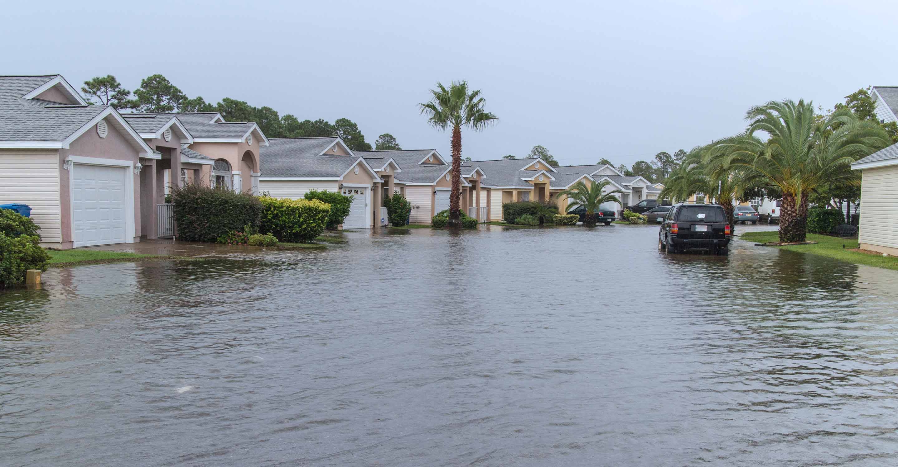
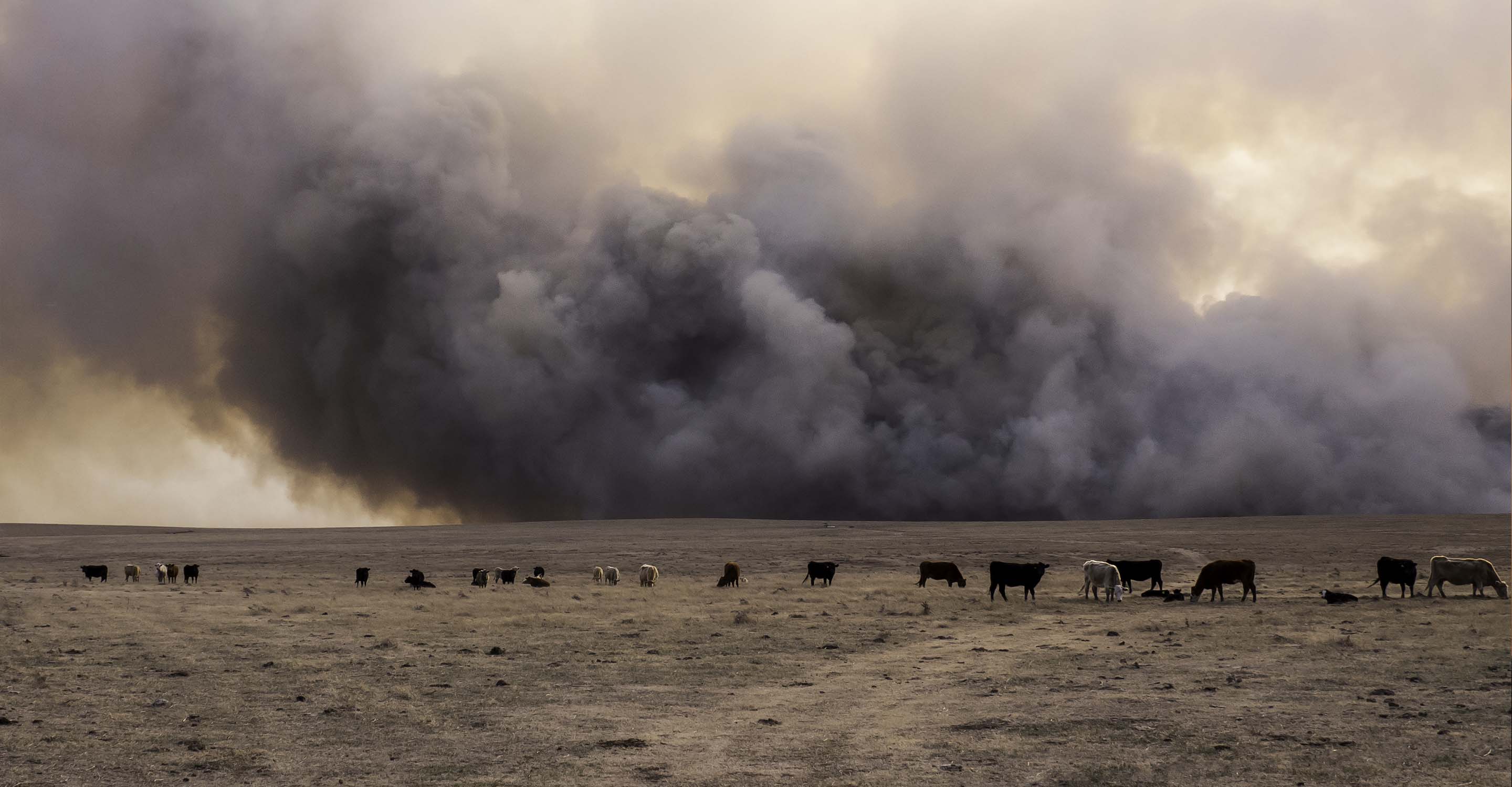

Understand air pollution and protect yourself
Whatcom air quality data attribution
3Contributors
 USA National Park Service
1 station
Government Contributor
 2 Anonymous contributors
2 stations
2 Anonymous Contributors
2 Data sources
 Data validated and calibrated by IQAir
Where is the cleanest air quality in Whatcom?


