Ubon Ratchathani air quality map
Live air pollution map of Ubon Ratchathani
36.4K people follow this city
Full screen
Contributors
2
Stations
2
Contributors category
1
Government
0
Non-profit organization
0
Educational
0
Corporate
1
Individual
0
Anonymous
Most polluted air quality stations
| # | station | US AQI |
|---|---|---|
| 1 | OTOP Center, Ubon Ratchathani | 159 |
| 2 | Namyuen KLANGWATSADU | 129 |
community highlight
Ubon Ratchathani most followed contributors
Health Recommendations
| Reduce outdoor exercise | |
| Close your windows to avoid dirty outdoor air GET A MONITOR | |
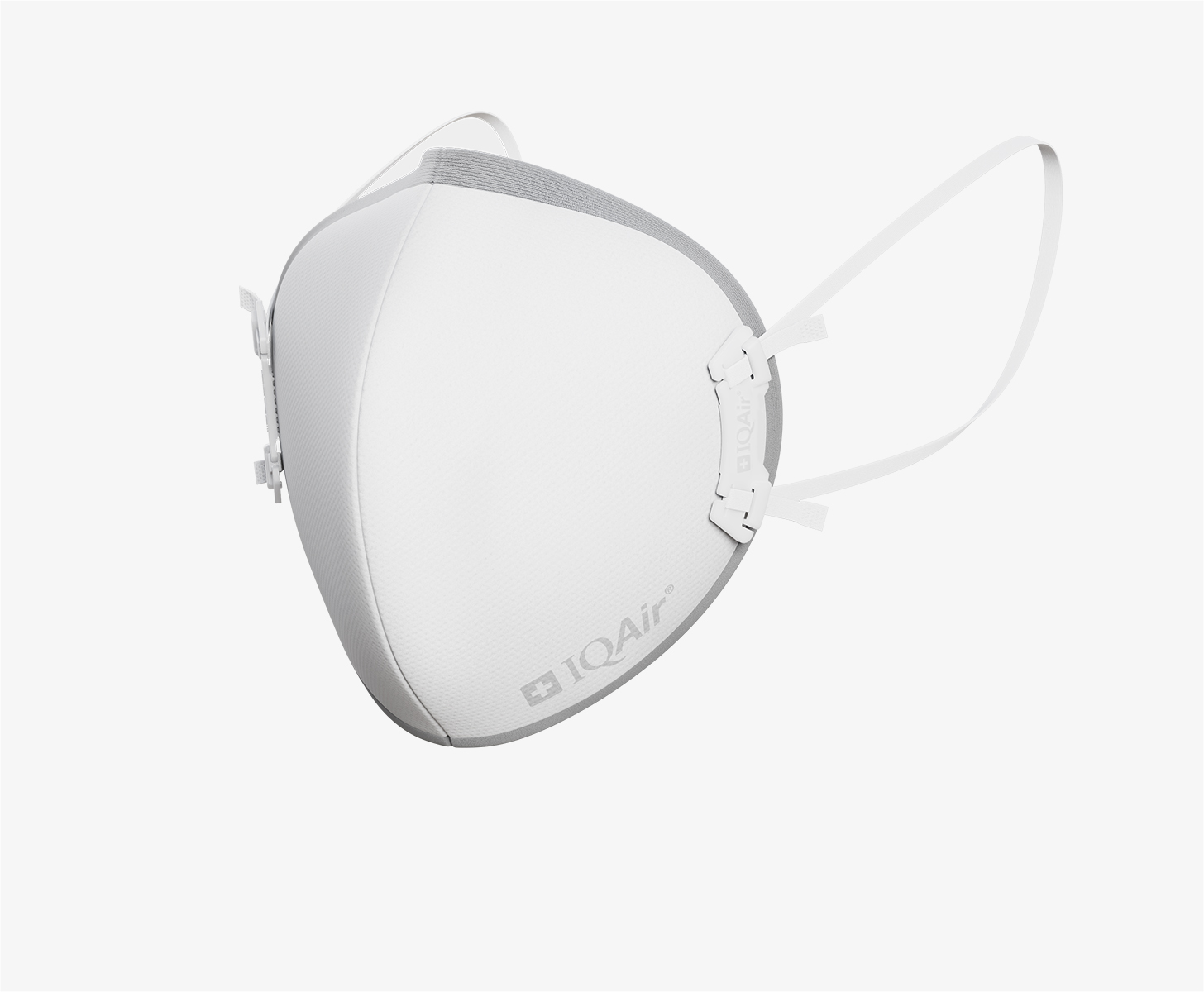
| Sensitive groups should wear a mask outdoors GET A MASK | |
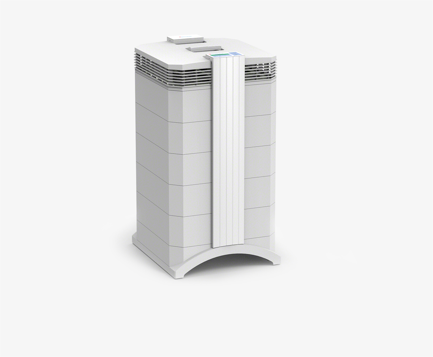
| Run an air purifier GET AN AIR PURIFIER |
Become a contributor
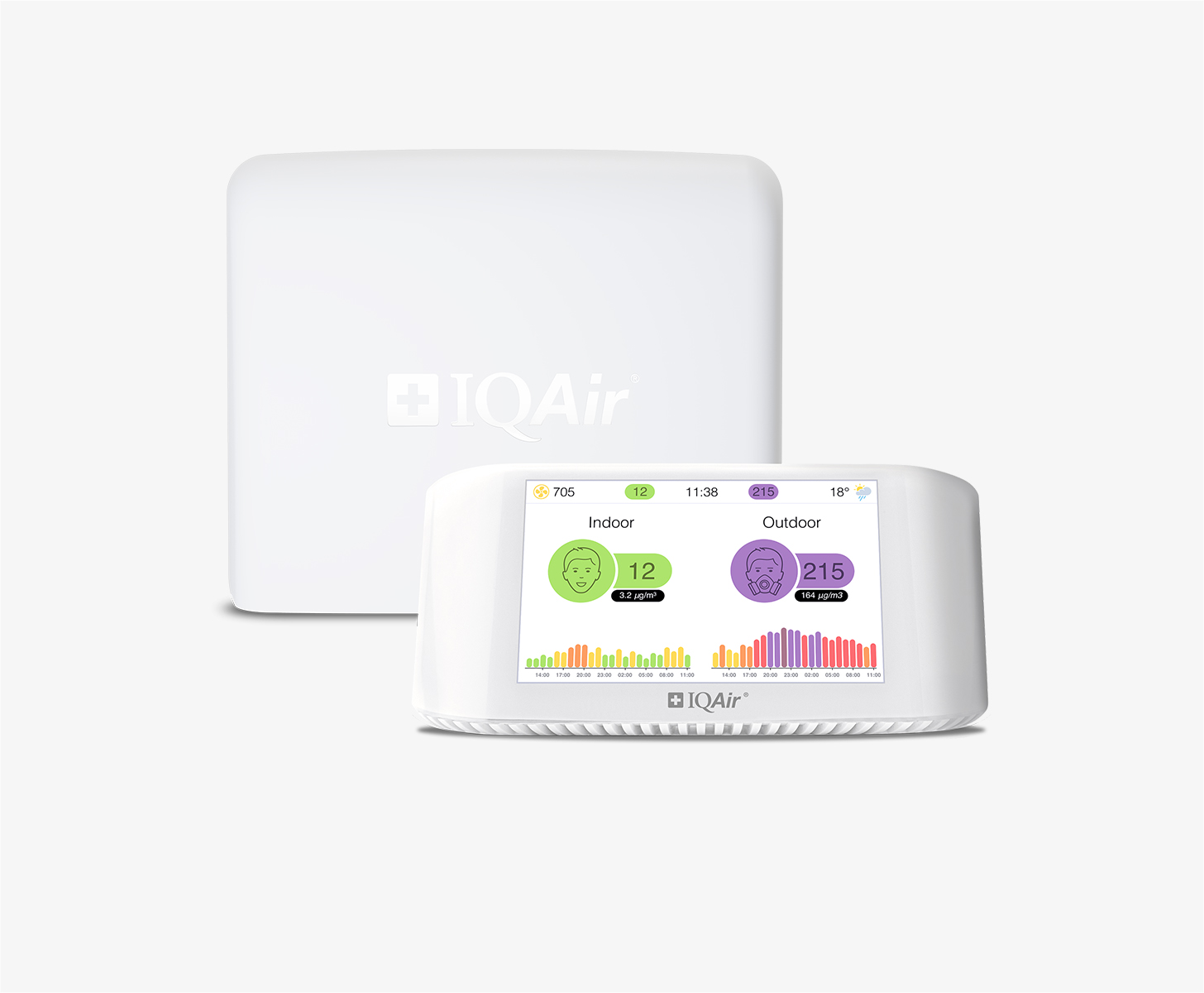
Get an AirVisual Outdoor and contribute to collecting millions of data points for the Ubon Ratchathani map to track local air pollution
Understand air pollution and protect yourself
Ubon Ratchathani MAP AIR QUALITY ANALYSIS AND STATISTICS
Are air quality maps useful for determining how clean the air is in Ubon Ratchathani?
Air quality maps, or air pollution maps as they can also be referred to, are a highly useful tool that may be implemented for a more in-depth understanding of the current pollution levels that are present throughout Ubon Ratchathani, as well as how clean the air in certain areas is (which is often the case as Ubon Ratchathani maintains a good level of air quality for much of the year, although sudden spikes in pollution can easily occur). As an example of how the air quality maps can be useful for users, higher US AQI readings of 8 and 4 were recorded, with this reading having been around mid-July of 2022. As such, this is an indication that as of this time of year, pollution levels are extremely low. However, users should not take this lightly as air pollution levels can and will change rapidly. As such, despite having great US AQI readings in mid-July, they may rise suddenly in the coming weeks or months, necessitating checking the map from time to time. This information can be valuable for those wishing to avoid exposure to air pollution within Ubon Ratchathani. Air quality maps can show multiple regions throughout the city and their relevant air cleanliness readings, making them useful for determining exactly how clean or polluted a given area is.
Are air quality maps helpful in preventing illness in Ubon Ratchathani?
Many health problems can be avoided by the persistent use of air quality maps within the city. By habitually avoiding areas that have higher levels of air pollution, as shown by the US AQI figures present on the air pollution maps, health issues such as chronic obstructive pulmonary disease (COPD), skin irritation and aggravation of the mucous membranes (nose, eyes, ears and mouth), as well as more serious conditions such as heart attacks, strokes and even premature death (with many studies having shown direct links between excessive pollution exposure and increased mortality rate). Naturally, whilst there is no guarantee of avoiding such conditions, by simply viewing the most polluted areas of the city shown on the air quality map and avoiding them, such air quality maps in Ubon Ratchathani can indeed contribute to increased health and safety directly related to lowered air pollution exposure.
How do air pollution maps operate within Ubon Ratchathani?
Air pollution maps and air quality maps in Ubon Ratchathani operate by being fed information via several different air quality monitoring stations in use throughout the city. These are shown on the map above as the spots with the US AQI reading on them, along with their matching color (with green being the cleanest, and subsequent higher pollution levels becoming steadily darker, although it will be rarer for pollution levels to go above 'moderate', or yellow-colored readings in the city). Some of these facilities are run by government organizations, whilst others are put there by non-governmental organizations or even individuals who wish to contribute to air quality readings in Ubon Ratchathani. With all of these monitoring stations in place, their readings are fed through to the air quality map above and appear as the figures. Thus, the air quality maps are fed by a variety of different sources to give a broader picture of air quality within Ubon Ratchathani.
What types of pollutants does the air quality map in Ubon Ratchathani show you?
The air quality map and air pollution map pages for Ubon Ratchathani have their main resource on pollution levels focused around the US AQI reading. Whilst the air quality map pages are extremely useful for users who wish to find out which areas of the city are the most polluted, the cleanest, and at what times of the year or day they are at such levels, it is ultimately the city pages for Ubon Ratchathani that contain further information on the concentration of certain pollutants within the air.
The city page pollution information is itself limited to several main pollutants, although with a little research (coupled with the information provided here), users can learn of the different types of pollutants that permeate the air daily, and which areas are most likely to have the highest concentrations of each particular pollutant. However, what can be learned from viewing the air quality map pages can be gleaned by knowing how the US AQI figure itself is aggregated. The US AQI figure shown on the air quality map pages is calculated from several main pollutants found throughout the air in Ubon Ratchathani, as well as the rest of Thailand and indeed used worldwide due to their widespread prevalence. The pollutants that go into forming the US AQI figure shown on the air quality maps are carbon monoxide, nitrogen dioxide, sulfur dioxide, ozone, and the two forms of particle-based pollution, which are PM10 and PM2.5. Out of these two forms of particle pollution, the much smaller PM2.5 is the more dangerous of the two, consisting of many different materials that are 2.5 micrometers or less in diameter.
Larger or more coarse particles that fit the PM10 classification (and can also have an influence over the air quality map readings, particularly when larger dust particles may descend over the city, coming from a multitude of different potential sources such as high-speed wind blowing fine soil and gravel particles in from rural surrounding areas, or even construction sites lending themselves to higher readings of both PM2.5 and PM10, thus making the overall US AQI reading on the air quality map higher) may also cause damage, but they are mainly superficial.
So as was mentioned above, the main pollutants that go into forming the US AQI figure on the air pollution map will be in higher concentrations when the US AQI figures become higher within Ubon Ratchathani. Additional information such as higher amounts of nitrogen dioxide being detected in areas of high traffic is also common, due to how much of this chemical pollutant is released from vehicles (as well as a variety of other machinery or industrial items that use fossil fuels). Ozone may also be found more during hot summer days, accumulating over busy roads due to ozone, or smog, forming as a result of many different chemicals and gases undergoing a chemical reaction when exposed to higher levels of solar radiation. In closing, the US AQI readings shown on the air quality maps for Ubon Ratchathani can give you a surface-level understanding of what pollutants you may be breathing. With a higher US AQI level present, there also comes a higher chance of being exposed to many of these different pollutants. Using the city pages in conjunction with the air quality map pages can help users to gain even more insight into what pollutants and harmful materials they may be breathing. Some closing words on what dangerous materials form the PM2.5 collective are that they can be formed from nitrates, sulfates, mold spores, bacteria, silica dust, black carbon or soot, along with oil and other liquid vapors. All of these can cause highly adverse health effects in those exposed, thus necessitating the use of air quality maps to find out which areas of Ubon Ratchathani have the highest levels of pollution. However, it must also be noted that on average, Ubon Ratchathani maintains a good level of air quality, and the aforementioned PM2.5 pollutants are there for informational purposes as to what materials one may encounter during particularly polluted days (with other factors leading to higher or lower concentrations of each materials being found in the air throughout Ubon Ratchathani).
Ubon Ratchathani air quality data attribution
2Contributors
 Thailand Pollution Control Department
1 station
Government Contributor
 paeplepunplan
1 station
Individual Contributor
2 Data sources

