

Santiago air quality map
Live air pollution map of Santiago
92.9K people follow this city
Full screen


Contributors
7
Stations
20
Contributors category
1
Government
1
Non-profit organization
1
Educational
0
Corporate
1
Individual
3
Anonymous
Most polluted air quality stations
| # | station | US AQI |
|---|---|---|
| 1 | Cerro Navia | 114 |
| 2 | Independencia Antu | 86 |
| 3 | El Bosque | 70 |
| 4 | Monitor Providencia PDV | 70 |
| 5 | Jardin Jaraquemada El Bosque | 65 |
| 6 | Providencia PUCV CEA | 65 |
| 7 | Villa Las Margaritas | 65 |
| 8 | Colegio SSCC MANQUEHUE | 61 |
| 9 | Renca Gorostiaga | 61 |
| 10 | Parque O'Higgins | 59 |
Health Recommendations
 | Sensitive groups should reduce outdoor exercise |
 | Close your windows to avoid dirty outdoor air GET A MONITOR |
 | Sensitive groups should wear a mask outdoors GET A MASK |
 | Sensitive groups should run an air purifier GET AN AIR PURIFIER |
community highlight
Santiago most followed contributors

Become a contributor
Get an AirVisual Outdoor and contribute to collecting millions of data points for the Santiago map to track local air pollution
News
The latest air quality news and resources.


Understand air pollution and protect yourself
Santiago MAP AIR QUALITY ANALYSIS AND STATISTICS
Where is all the interesting information about air quality found on the air pollution map for Santiago?
All of this interesting information can easily be accessed from the main city page for Santiago. The air pollution map appears towards the top of the main page and selecting it will open another page filled with all the relevant information about air quality.
When the map is first looked at, the striking colouration will be the first thing to notice. This is used as a visual way of instantly showing the current state of the air. Colours range from pale green to maroon and are used throughout the whole IQAir website. The darker colours indicate worsening air quality. There are also many coloured circles or discs scattered across the map although not all of them will be relevant to Santiago city. These show the locations of the ground-level air monitoring stations that supply the data about air quality. If they appear to be over the top of one another, slowly expanding the map will make the discs separate and become easier to differentiate between one another. Each of these discs can be explored further to see more specific information about that actual area of the city.
At the centre of the disc can be seen a number which is the United States Air Quality Index number or US AQI for short. The reading is calculated by taking measurements of the six most commonly found pollutants in the city air. These are usually, but not always both sizes of Particulate Matter (PM2.5 and PM10), nitrogen dioxide, sulphur dioxide, carbon monoxide and ozone. The entire system is endorsed by the World Health Organisation (WHO) and is used when comparing different levels of pollution in cities across the globe.
Briefly looking back to the main city page, it will be seen inside the coloured banner at the top of the page that at the start of 2023, Santiago was enjoying a period of “Good” air quality with a US AQI reading of 25. The main pollutant was PM2.5 with a recorded level of 6 µg/m³ which is slightly more than the suggested target limit of 5 µg/m³ as recommended by the WHO.
Just below the air pollution map for Santiago can be seen the number of contributors there are and the number of stations they obtain and collate their data from. Currently, there are five contributors operating eighteen stations between them. There is a government department (Ministerio del Medio Ambiente de Chile), a non-profit organisation (Aires Nuevos para la Primera Infancia: Red Ciudadana de Calidad de Aire), one educational (Marcelo Andres Mena Carrasco), one individual (Matias A.) and one who wishes to remain anonymous.
What other interesting information about air quality can be found on the air pollution map for Santiago?
There is much more fascinating information about air quality on the air pollution map for Santiago but the screen needs to be viewed at maximum size to be able to see all sections. This is easy to achieve by selecting the icon at the top right-hand side of the opening screen. This expands the map to fill the entire screen. Once viewed at this size, there will be a list of four options that appear on the left-hand side of the screen. These can all be toggled on or off to see what effects they each have on the map.
The first option shows the location of all ground-level air monitoring stations that happen to be within the coverage of the map, though not necessarily all controlled by Santiago. This can be very useful if planning any forthcoming trips to the surrounding area.
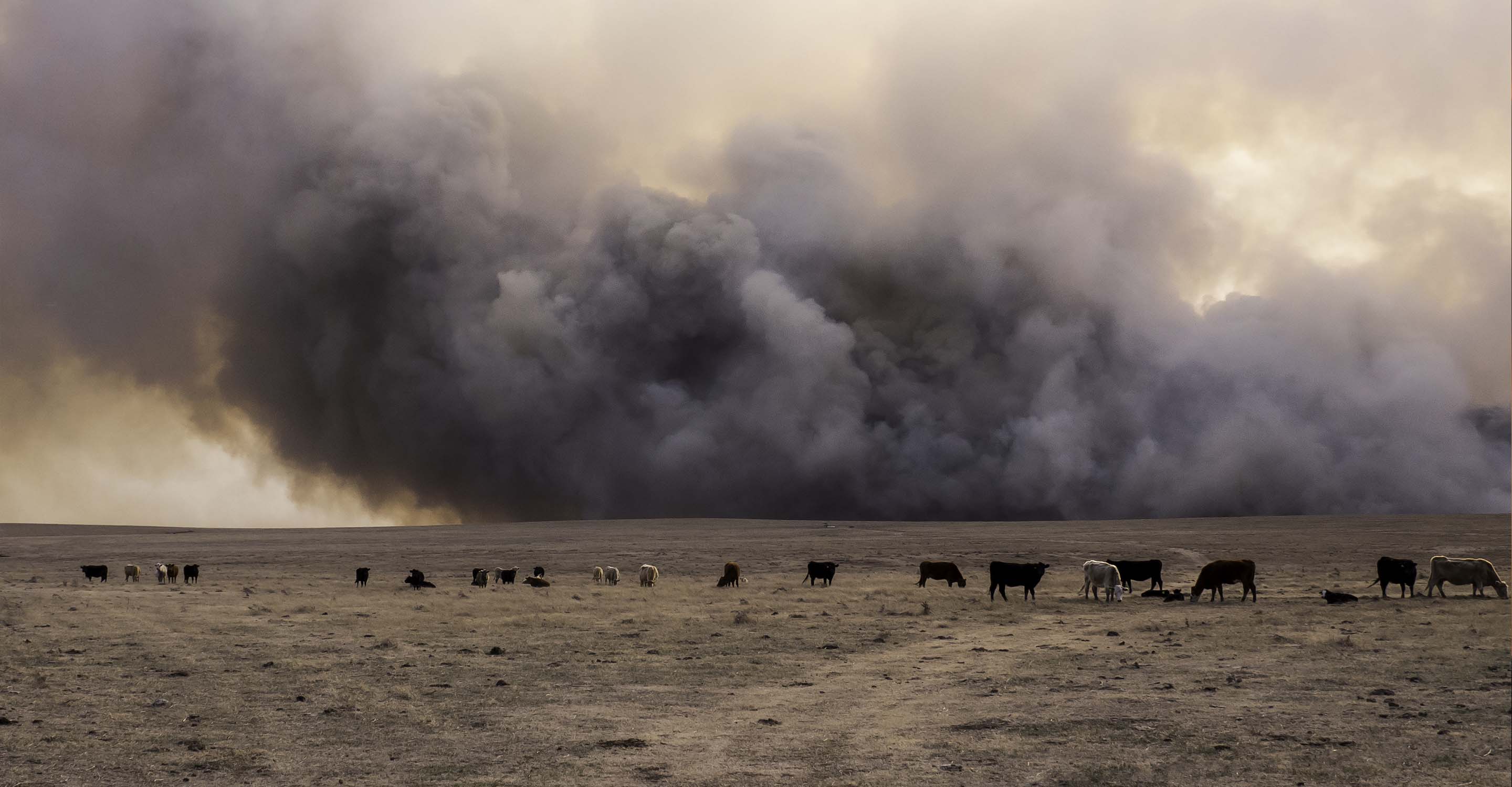
The next choice reveals the location of any wildfires that may be burning out of control in the vicinity. During January 2023, there were no such icons on the map meaning there were no significant fires that were causing problems. If there were any fires, then option four will be very useful because it shows the speed and direction of the prevailing winds and will give a good indication of where the smoke will blow.
This just leaves option three which changes the background colour of the map to indicate the current state of the air. If the solid colour is too distracting, then the option can be deactivated and the colours will revert to a more subdued palette.
The rest of the facts are on the right-hand side of the screen where a table can be seen showing the ranking of the top seven cities with the worst air quality. If this topic is of interest, then the full ranking of all the participating world cities can be accessed from this page.
Are areas of elevated levels of air pollution visible on the air quality map for Santiago?
Areas of elevated levels of air pollution can easily be identified by looking for the disc with the darkest colour and/or the highest number. But perhaps an easier way would be to look at the table published just below the air pollution map for Santiago where all the stations are listed and ranked according to their levels of air cleanliness.
Below this ranking is another table which shows the popularity of the stations according to the number of loyal followers they each have. Currently, the most popular one is at Independencia Antu with just over 2,000 followers.
Is the source of the polluted air shown on the air quality map for Santiago?
The direct source of the polluted air is not directly seen on the air quality map for Santiago, but it is known that industrial processes, combustion in boilers, ovens and appliances, vehicle emissions, dust resuspended from the ground, use of household chimneys and agricultural burning are the main sources of particle emissions. Vehicle emissions and natural gas thermoelectric plants correspond to the main emitters of ozone precursors.
The reason for the majority of the problems with air quality comes from the geographical location of the capital, the city is located on the flat surface basin of the Maipo river that, enclosed by mountain ranges of relevant altitude, prevent a circulation of polluting particles, which is further enhanced in winter due to the weakness of the wind system. At the same time, dirty air is also linked to thermal inversion, which is directly related to low temperatures and surface heating. Among the factors that are the direct responsibility of man are the explosive growth of the city and the development of public and urban transport in general.
Santiago air quality data attribution
7Contributors
 Ministerio del Medio Ambiente de Chile
4 stations
Government Contributor
 Aires Nuevos
11 stations
Non-profit organization Contributor
 Aires Nuevos para la Infancia
1 station
Educational Contributor
 Matias A.
1 station
Individual Contributor
 3 Anonymous contributors
3 stations
3 Anonymous Contributors
3 Data sources
 Data validated and calibrated by IQAir
Where is the cleanest air quality in Santiago?
- Cerro Navia 114
- Independencia Antu 86
- El Bosque 70
- Monitor Providencia PDV 70
- Jardin Jaraquemada El Bosque 65
- Providencia PUCV CEA 65
- Villa Las Margaritas 65
- Colegio SSCC MANQUEHUE 61
- Renca Gorostiaga 61
- Parque O'Higgins 59
- Penalolen Estrellita 59
- Lo B El Tranque 53
- Red_Universidades_MP_01 51
- Penalolen Ichuac 45
- La Florida 41
- Lo B Los Manzanos 41
- Martin de Zamora 37
- Penalolen Cristo 37
- Lo B Centro Lector 29
- La Reina 20
Stay Informed. Download #1 air quality app
Air pollution forecast, pollution alerts and much more to help you plan your days and keep protected against air pollution


