


Pittsfield air quality map
Live air pollution map of Pittsfield • 3K Followers • 23:00, Oct 19



Stations
Clean Air Facilities
Contributors
9

Government
1
Diplomatic
0
Non-profit
0
Education
0
Corporate
0
Healthcare
0
Hospitality
0
Individual
8Top contributors in Pittsfield
Who is sharing outdoor air quality data in Pittsfield?
Featured station
Discover some of the best station installation in Pittsfield
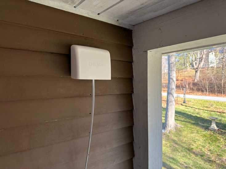
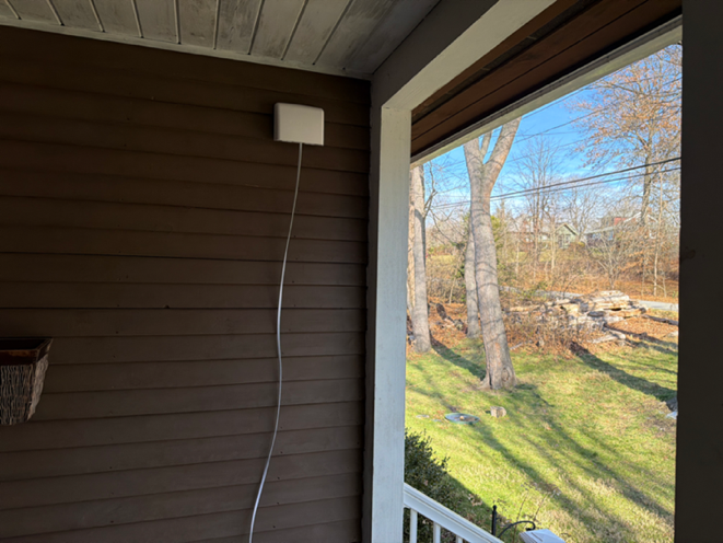
Station gallery

High Street, Pittsfield
40
Newest stations deployed in Pittsfield
AQI⁺ station ranking
Newest stations




Learn more about global air quality


Where is the cleanest air quality in Pittsfield?
- Lenox Ave - Breathe Easy Berkshires11
- Habitat for Humanity - Breathe Easy Berkshires16
- Allendale Elementary School - Breathe Easy Berkshires19
- Pittsfield Municipal Airport - Breathe Easy Berkshires20
- Morningside Community School - Breathe Easy Berkshires22
- Pittsfield City Hall - Breathe Easy Berkshires23
- PittsfieldES39
- High Street40
- Silver Lake Boulevard48


