


Fresno County air quality map
Live air pollution map of Fresno County • 87.8K Followers • 14:00, Nov 10 Local time




Stations
Clean Air Facilities
Contributors
14

Government
3
Diplomatic
0
Non-profit
0
Education
2
Corporate
0
Healthcare
0
Hospitality
0
Individual
9Top contributors in Fresno County
Who is sharing outdoor air quality data in Fresno County?
Featured station
Discover some of the best station installation in Fresno County
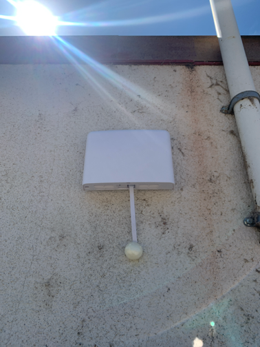
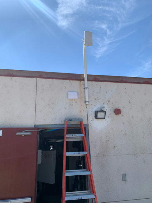
Station gallery

Sierra High School, Fresno County
81
Newest stations deployed in Fresno County
AQI⁺ station ranking
Newest stations




Learn more about global air quality


Where is the cleanest air quality in Fresno County?
- Fresno - Sierra Skypark #236
- Mercey Hot Springs36
- Tranquility - 32650 West Adams Avenue 36
- Fresno-Sierra Skypark38
- Fresno - Drummond Street47
- Tranquillity50
- Shepherd Lane55
- Pinehurst64
- South Lac Jac Avenue64
- 15235 Morgan Canyon Rd68
- Whispering Springs Lane72
- Dos Palos (San Joaquin River)76
- Oak Creek Farm78
- Sierra High School81
- Foothill Air Quality90
- Soaproot Saddle station141
- Chahlip Lane151


