Bakersfield air quality map

Live air pollution map of Bakersfield • 63.2K Followers • 10:00, Oct 19 Local time

Clean Air Facilities

Contributors

9
Government

Government

2
Diplomatic

Diplomatic

0
Non-profit organization

Non-profit

0
Education

Education

0
Corporate

Corporate

0
Healthcare

Healthcare

0
Hospitality

Hospitality

0
Individual

Individual

7
Start contributing

Top contributors in Bakersfield

Who is sharing outdoor air quality data in Bakersfield?

Featured station

Discover some of the best station installation in Bakersfield

Station gallery

The national flag of USA

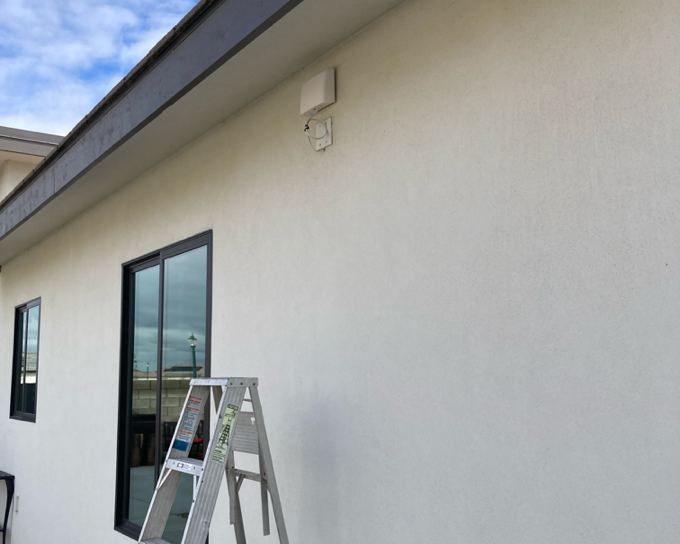
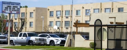
RBsHome, Bakersfield

55

Newest stations deployed in Bakersfield

Newest stations

#StationsContributorAQI⁺ US
1

Bakersfield

Contributor profile image

Anonymous contributor

47

2

Old Farm Rd

Contributor profile image

Anonymous contributor

36

3

RBsHome

Contributor profile image

rbernabe

55

4

Bakersfield - Golden State Highway

Contributor profile image

San Joaquin Valley Air Pollution Control District

53

5

Jacob Community

Contributor profile image

JMA

55

6

C. Latimer backyard

Contributor profile image

Anonymous contributor

28

7

8000 MorningStar Avenue

Contributor profile image

Anonymous contributor

23

8

Bakersfield-Muni

Contributor profile image

San Joaquin Valley Air Pollution Control District

23

9

Bakersfield-5558 California Avenue

Contributor profile image

San Joaquin Valley Air Pollution Control District

Contributor profile image

California Air Resources Board (CARB)

38

Clean Air Facilities