Lop Buri air quality map
Live air pollution map of Lop Buri
83.6K people follow this city
Full screen
Contributors
1
Stations
1
Contributors category
1
Government
0
Non-profit organization
0
Educational
0
Corporate
0
Individual
0
Anonymous
Most polluted air quality stations
| # | station | US AQI |
|---|---|---|
| 1 | Meteorological Station Lopburi | 98 |
community highlight
Lop Buri most followed contributors
Health Recommendations
| Sensitive groups should reduce outdoor exercise | |
| Close your windows to avoid dirty outdoor air GET A MONITOR | |
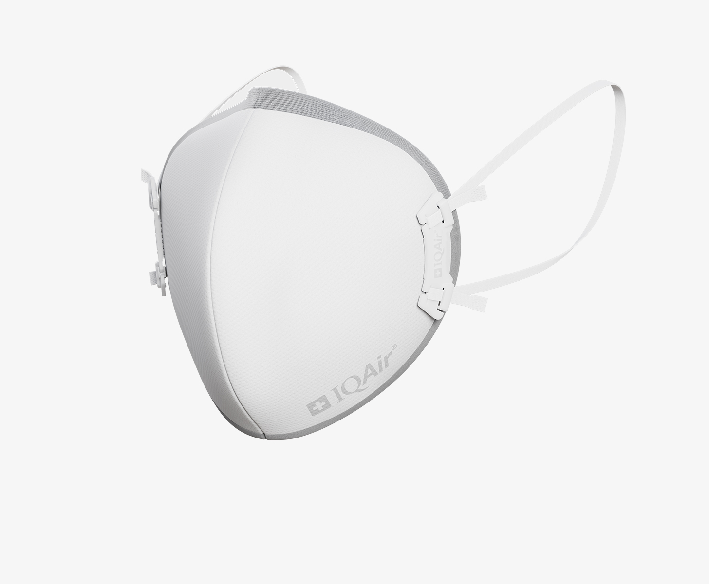
| Sensitive groups should wear a mask outdoors GET A MASK | |
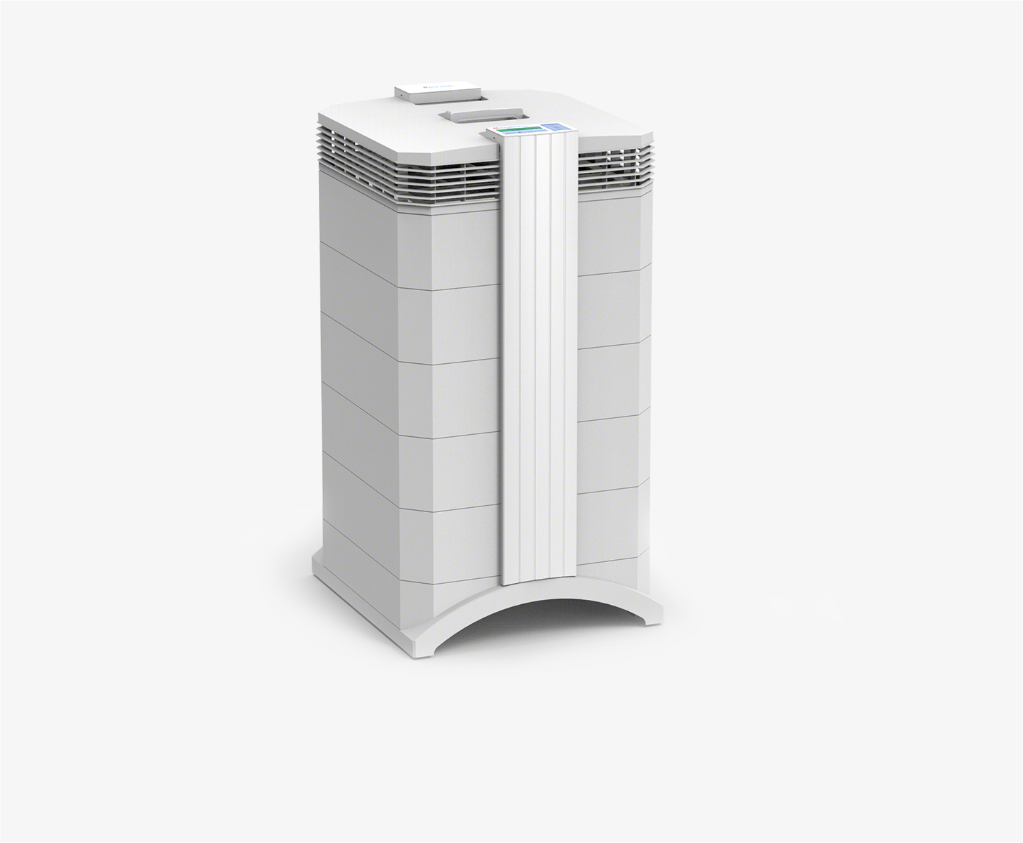
| Sensitive groups should run an air purifier GET AN AIR PURIFIER |
Become a contributor
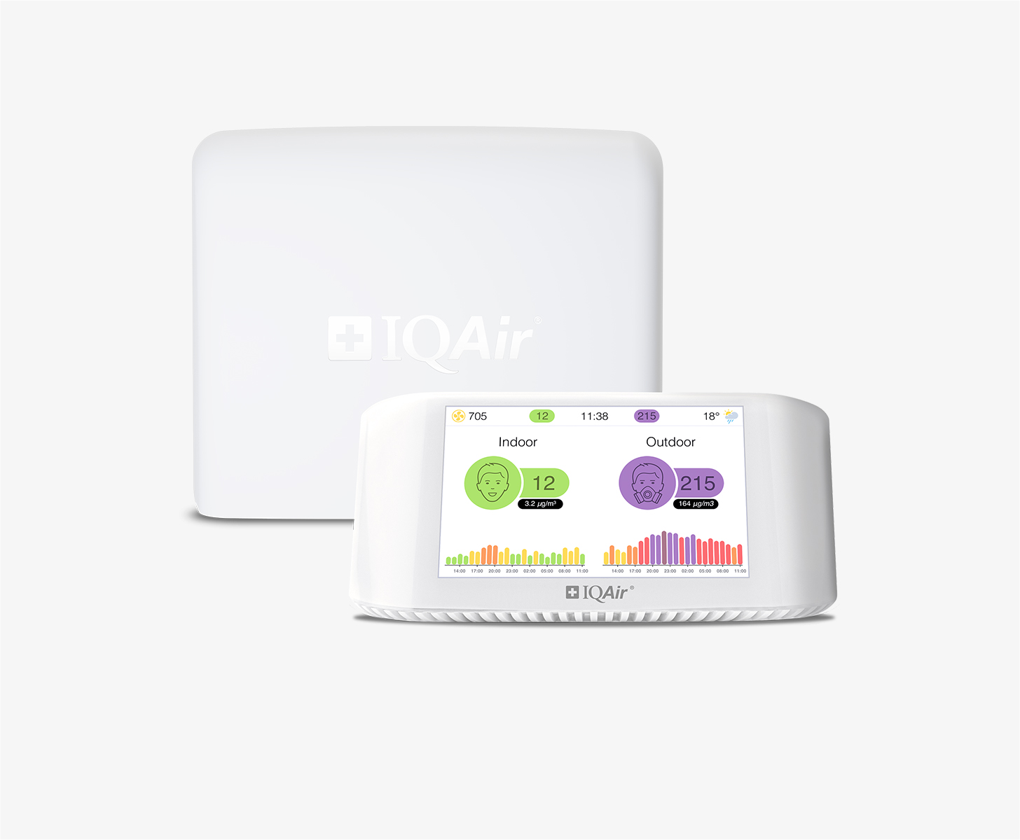
Get an AirVisual Outdoor and contribute to collecting millions of data points for the Lop Buri map to track local air pollution
Understand air pollution and protect yourself
Lop Buri MAP AIR QUALITY ANALYSIS AND STATISTICS
How is the US AQI figure calculated for the air quality map in Lop Buri?
Regarding the air quality maps, their function and how they can help people and certain groups throughout Lop Buri, the US AQI (seen in the many discs on the various sites throughout the map above) is the figure used across the Lop Buri that show up on the pollution maps for the city. The city pages that are also present for Lop Buri and other cities throughout Thailand show the US AQI readings as well as the concentrations of other pollutants in the air, whilst the air quality map pages only show the US AQI readings. By getting a further understanding of what the US AQI reading is comprised of, users can thus know what chemical pollutants or particles they may be getting exposed to (although when it comes to particle-based pollution, the number of materials that fall into this classification can be extremely numerous, and as such only the more common ones will be touched upon in this question). US AQI, standing for the United States air quality index (with the United States having a very stringent classification system and is thus more widely used, as other pollution classification systems can be more lenient and thus allow polluted air to be labeled as being ‘safe’ or ‘reasonable’ when in reality it may present more health risks to the population) is calculated from several main pollutants that are found throughout the world. The US AQI figure shown on the air quality maps is formed from the aggregation of nitrogen dioxide, sulfur dioxide, carbon monoxide and ozone, which is also known as smog when it accumulates in large enough quantities on the ground level, particularly near busy roads during times of intense sunshine. Although a vital part of the upper atmosphere, when ozone accumulates on ground level, it can be extremely dangerous to breathe, causing dizziness, nausea and many other short and long-term health effects, as well as contributing to an increase in pollution readings on the air quality map.
In closing, the other pollutants used in calculating the US AQI figure are the two particle-based pollutants, PM10 (which covers larger or more coarse particles) and PM2.5, the more dangerous of the two which covers materials that are 2.5 micrometers or less in diameter, going down to sizes many microns smaller on occasion. Materials that can fall into the particle-based pollution bracket include metals, mold spores, bacteria, nitrates and sulfates, water or oil vapors, black carbon (the main component of soot and can sometimes be visibly seen around busy road areas, accumulating on underpasses and other similar places), as well as finely ground silica. These are for informational purposes, and the concentration levels of these pollutants can be seen on the city pages themselves. The air quality map pages will show the US AQI level, and thus when the figure is shown to be higher or moving up to unsafe levels during certain times of the year, the above-mentioned pollutants can be found in higher concentrations throughout Lop Buri and surrounding areas.
How do the air quality maps function for Lop Buri?
Air quality maps in Lop Buri, although they are still in the process of being set up throughout the city (currently lacking in a concise amount of air quality data due to no air quality stations, which will change as time goes on), work via feeding relevant air pollution data in a constant update feed to the air quality map above. When enough air quality monitoring stations have been set up throughout Lop Buri, they will provide a clearer picture of which areas are the most polluted, and at what times of day they have higher readings. Air quality maps work by aggregating all of the available air pollution data and placing it onto an easy-to-use and highly visible map.
Are certain people more likely to benefit from using the air pollution map in Lop Buri?
Whilst a great number of people living within Lop Buri will benefit from using and referring to both the air quality map, or air pollution map pages, as well as the city map pages that show the pollution level as an average throughout the city (as well as giving forecasts and concentration levels of certain pollutants), there are those who due to some reasons, may need to monitor both their health and the air cleanliness levels more closely. For those that are more prominently affected, preventative measures may need to be put into action to stay as safe as possible from breathing any potentially harmful pollutants, looking at both chemical compounds in the forms of gases as well as ultrafine particles that can permeate the air, causing health issues as well as aggravating pre-existing ones amongst inhabitants of Lop Buri. To go into more detail as to who would benefit from utilizing air quality maps and staying up to date with pollution forecasts (although it can be noted that Lop Buri generally maintains an appreciable level of air quality throughout much of the year, although as with all cities worldwide, it can be subject to sudden jumps in its pollution levels due to many reasons), they would fall into certain categories or demographics within the population of Lop Buri. They include people such as the elderly, who are particularly vulnerable to ailments that affect the respiratory tract, on occasion seeing simple or mild infections of the throat or chest turn into ones that lead to more severe complications. Air quality maps can allow elderly citizens within Lop Buri to be able to spot areas of higher pollution concentrations, and thus avoid them, significantly reducing the amount of haze, chemicals or clouds of ultrafine particles that one might come into in such areas.
Going over the concept again, the pollution levels shown on the air quality maps in Lop Buri are generally very good, but can still be useful during times of excess pollution due to a lack of strong winds or rain in certain areas allowing pollutants from cars, industrial sites and power plants, along with ultrafine materials coming from construction sites all potentially accumulating under the right circumstances, which is when the air pollution maps can be of great use. Others include young children and babies, so as such families who are taking care of younger ones can utilize the air quality maps to avoid any higher areas of the city, which can prevent young children from developing potentially lifelong health issues such as asthma, as well as preventing their aggravation. Pollen levels can count amongst the ultrafine particles in the air, with pollen splitting into smaller fragments and becoming part of the PM10 or even PM2.5 collective. In closing, others that benefit from the use of air quality maps include those with the aforementioned pre-existing health conditions (particularly of the cardiac or pulmonary variety), those with compromised immune systems, as well as individuals who have a hypersensitive disposition toward certain chemical compounds, gases or particles. Keeping up with air pollution forecasts on the city pages can allow users to pre-empt when there may be spikes in the US AQI levels, and as such the air quality map itself will show exactly where in Lop Buri these pollution levels are at their highest, so the most vulnerable groups of people can more easily avoid them, along with healthy individuals and those who wish to keep their pollution exposure to a minimum.
Which groups of people should use air quality maps in Lop Buri?
Whilst all members of society are encouraged to monitor the air quality readings on the pollution map in Lop Buri (as no one is truly safe from the long-term and harsh effects that pollution exposure can cause), certain groups of people fall into the vulnerable bracket, and should take extra care. These include the elderly, young children and babies, those with pre-existing health issues and compromised immune systems, as well as pregnant mothers. All can benefit from steering clear of more polluted areas, which may cause grave issues to their health, more so than the average healthy individual.
Lop Buri air quality data attribution
1Contributor
 Thailand Pollution Control Department
1 station
Government Contributor
1 Data source

