

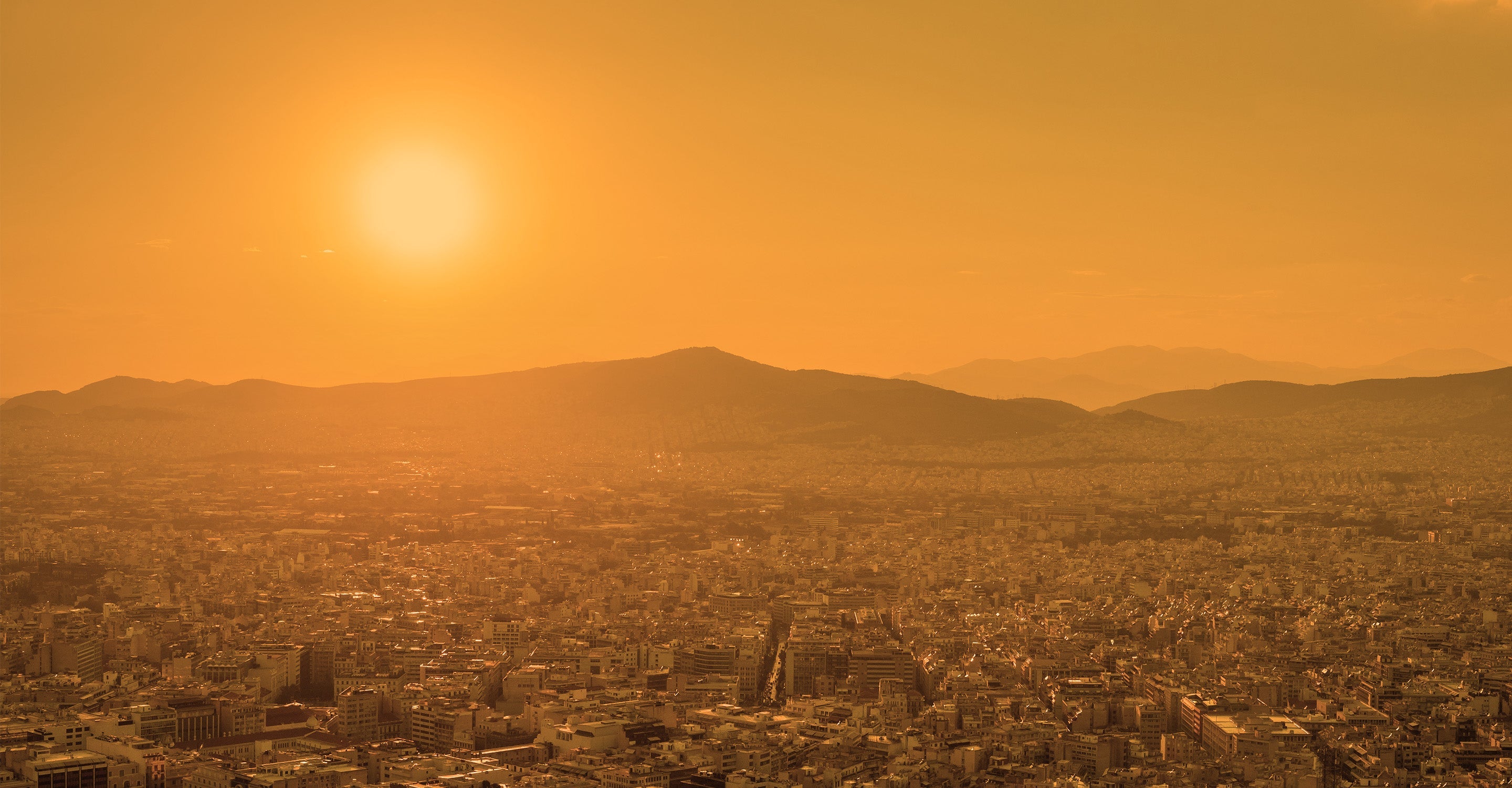
Seongnam air quality map
Live air pollution map of Seongnam
9.9K people follow this city

Full screen


Contributors
2
Stations
8
Contributors category
2
Government
0
Non-profit organization
0
Educational
0
Corporate
0
Individual
0
Anonymous
Most polluted air quality stations
| # | station | US AQI |
|---|---|---|
| 1 | Moran Station | 95 |
| 2 | Jeongja 1-dong | 93 |
| 3 | Unjung-dong | 78 |
| 4 | Daewangpangyo-ro | 74 |
| 5 | Dandae-dong | 68 |
| 6 | Sangdaewon-dong | 63 |
| 7 | Sunae-dong | 63 |
| 8 | Bokjeong-dong | 50 |
Health Recommendations
 | Sensitive groups should reduce outdoor exercise |
 | Close your windows to avoid dirty outdoor air GET A MONITOR |
 | Sensitive groups should wear a mask outdoors GET A MASK |
 | Sensitive groups should run an air purifier GET AN AIR PURIFIER |
community highlight
Seongnam most followed contributors

Become a contributor
Get an AirVisual Outdoor and contribute to collecting millions of data points for the Seongnam map to track local air pollution
News
The latest air quality news and resources.


Understand air pollution and protect yourself
Seongnam MAP AIR QUALITY ANALYSIS AND STATISTICS
Do air quality maps help in showing the pollution levels in Seongnam?
Air quality maps in Seongnam can help individuals and families to avoid the more highly polluted areas or zones that could be deemed as pollution hotspots (such as areas that see rush hour traffic, or industrial activity) in the city simply by referring to the air pollution maps over a longer period of time. Whilst pollution readings shown on the air quality maps will differ over time and tend to fluctuate due to the meteorological impacts as well as sudden changes to air cleanliness that can come from fires, construction, and other natural disasters or unseen events when viewed over longer periods, the air pollution maps will give a considerably more accurate idea of which parts of Seongnam are best to avoid, especially if you belong to vulnerable or at-risk demographics, or simply wish to keep your exposure levels to a minimum.
Air pollution maps that have high readings consistently in the same areas are highly useful in determining factors such as where certain people may want to live, or where they spend their time in daily activities as well as potential changes in commuting routes, although this is not always possible due to road infrastructure. Areas with higher US AQI readings, which can be viewed via their color-coding, have better air quality readings displayed in the form of lighter colors such as blue (only available on the city map pages and the charts for pollution levels from years past) and green, and on the higher end of what could be considered as the acceptable or clean spectrum, yellow, which is a 'moderate' reading. Red, purple and maroon are the darker colors that indicate a considerably more hazardous level of air pollution present on the map) consistently showing up should be avoided.
Air quality maps have an advantage over the regular city pages on IQAir (which have advantages of their own such as showing concentrations of certain individual pollutants, as well as forecast predictions for the coming days), although these city pages can give a great image of how a cities average pollution areas are, it cannot show exactly where the pollution is coming from, which gives the air quality map page for Seongnam a distinct advantage in that area.
Do certain groups of people benefit more from using air quality maps in Seongnam?
Whilst everyone in Seongnam can most definitely benefit from referring to both the air quality map, or air pollution map pages, as well as the city map pages that show the pollution level as an average throughout the city (as well as giving forecasts and concentration levels of certain pollutants), there are those who due to some reasons, may need to monitor both their health and the air cleanliness levels more closely. For those that are more prominently affected, preventative measures may need to be put into action to stay as safe as possible from breathing any potentially harmful pollutants, looking at both chemical compounds in the forms of gases as well as ultrafine particles that can permeate the air, causing health issues as well as aggravating pre-existing ones amongst inhabitants of Seongnam. To go into more detail as to who would benefit from utilizing air quality maps and staying up to date with pollution forecasts (although it can be noted that Seongnam generally maintains an appreciable level of air quality throughout much of the year, although as with all cities worldwide, it can be subject to sudden jumps in its pollution levels due to many reasons), they would fall into certain categories or demographics within the population of Seongnam. They include people such as the elderly, who are particularly vulnerable to ailments that affect the respiratory tract, on occasion seeing simple or mild infections of the throat or chest turn into ones that lead to more severe complications.
Air quality maps can allow elderly citizens within Seongnam to be able to spot areas of higher pollution concentrations, and thus avoid them, significantly reducing the amount of haze, chemicals or clouds of ultrafine particles that one might come into in such areas. Once again, the pollution levels shown on the air quality maps in Seongnam are generally very good, but can still be useful during times of excess pollution due to a lack of strong winds or rain in certain areas allowing pollutants from cars, industrial sites and power plants, along with ultrafine materials coming from construction sites all potentially accumulating under the right circumstances, which is when the air pollution maps can be of great use.
Others include young children and babies, so as such families who are taking care of younger ones can utilize the air quality maps to avoid any higher areas of the city, which can prevent young children from developing potentially lifelong health issues such as asthma, as well as preventing their aggravation.
Pollen levels can count amongst the ultrafine particles in the air, with pollen splitting into smaller fragments and becoming part of the PM10 or even PM2.5 collective. In closing, others that benefit from the use of air quality maps include those with the aforementioned pre-existing health conditions (particularly of the cardiac or pulmonary variety), those with compromised immune systems, as well as individuals who have a hypersensitive disposition toward certain chemical compounds, gases or particles. Keeping up with air pollution forecasts on the city pages can allow users to pre-empt when there may be spikes in the US AQI levels, and as such the air quality map itself will show exactly where in Seongnam these pollution levels are at their highest, so the most vulnerable groups of people can more easily avoid them, along with healthy individuals and those who wish to keep their pollution exposure to a minimum.
What health problems can air quality maps potentially help to prevent in Seongnam?
If users refer to the air quality maps and their readings, shown in areas throughout Seongnam, many health issues may be possibly avoided as a result. There are many studies going back decades that have already linked numerous health problems directly to higher pollution exposure, and as such, by avoiding areas of the city that have higher US AQI readings present on the air pollution maps, individuals may potentially avoid such pollution-related ailments. Those with pre-existing health conditions may benefit even more from the use of air quality maps in Seongnam. A few examples of health conditions include damage to the lung tissue, along with irritation to skin and exposed mucous membranes such as the nose, eyes and mouth. Symptoms of chronic obstructive pulmonary disease (COPD) may appear or become worse in those already suffering, along with more serious issues arising such as the increased risk of heart attacks, strokes, arrhythmias, and premature death, with a direct link to excessive pollution exposure in many cases.
What do the air quality maps tell you about pollution levels in Seongnam?
The air quality map for Seongnam shows the pollution levels that come from the growing number of air quality monitoring stations in place across the city as well as surrounding rural areas. These are present in many cities throughout Korea, and they feed a constant stream of data related to pollution levels (shown in the form of US AQI readings) to any relevant maps which are being viewed.
In the case of Seongnam, the air quality map can tell you how polluted any given area is throughout the day. Air quality maps give you information regarding how clean, or how polluted the different areas in Seongnam are, and how they change over time. this can be of great assistance to those that want to keep their pollution exposure as low as possible.
Seongnam air quality data attribution
2Contributors
 Korea Environment Corporation
8 stations
 Air Gyeonggi-Do
8 stations
2 Government Contributors
2 Data sources
Where is the cleanest air quality in Seongnam?
Stay Informed. Download #1 air quality app
Air pollution forecast, pollution alerts and much more to help you plan your days and keep protected against air pollution


