

Salt Lake City air quality map
Live air pollution map of Salt Lake City
44.3K people follow this city
Full screen


Contributors
55
Stations
57
Contributors category
0
Government
0
Non-profit organization
0
Educational
0
Corporate
6
Individual
49
Anonymous
Most polluted air quality stations
| # | station | US AQI |
|---|---|---|
| 1 | Sunnyside Avenue South | 82 |
| 2 | Hawthorne | 25 |
| 3 | Clark Planetarium | 22 |
| 4 | Rose Park | 22 |
| 5 | Avenues 8th Street | 17 |
| 6 | Catherine Street West | 17 |
| 7 | Jaren Circle | 17 |
| 8 | Terrace Hills | 16 |
| 9 | Parkview Drive | 15 |
| 10 | Promontory Drive | 15 |
Health Recommendations
 | Enjoy outdoor activities |
 | Open your windows to bring clean, fresh air indoors GET A MONITOR |
community highlight
Salt Lake City most followed contributors

Become a contributor
Get an AirVisual Outdoor and contribute to collecting millions of data points for the Salt Lake City map to track local air pollution
News
The latest air quality news and resources.


Understand air pollution and protect yourself
Salt Lake City MAP AIR QUALITY ANALYSIS AND STATISTICS
What are some air quality readings on the pollution map for Salt Lake City?
Air quality readings for Salt Lake City as shown on the map above generally fall within the 'good' range, with some going slightly higher and falling into the 'moderate' pollution bracket. Good air quality readings on the map are the most optimal ones possible and require a US AQI reading of 0 to 50 to be classified as such, whilst moderate ones require 51 to 100 for classification. Those who are more at risk of health issues may start to experience mild irritation in moderate pollution areas as shown on the air quality map above for Salt Lake City, but the general public as a whole will be relatively safe (although it is important to note that any level of pollution at all can cause harm to those who are exposed to it).
To show examples to users who may want to learn more about the readings shown above on the air quality map, some figures taken from early August of 2022 will be cited as reference points. These readings will change constantly over the course of a single day as well as throughout the year. For a reference on how pollution levels can be higher during certain months, year after year, the city pages and previous year data, all available on the IQAir website, may be viewed for such information. Some US AQI examples in august of 2022 were figures of 32, 33 and 42, all falling within the 'good' classification, and being the predominant air quality rating seen in Salt Lake City at this time of year. A few 'moderate' readings of 51, 54 and a relatively high 79 were also seen, with the 79 moving up much closer to the 'unhealthy for sensitive groups' bracket.
What can you learn from the US AQI readings on the pollution map for Salt Lake City?
When observing the various readings that are present on the air quality map shown above for Salt Lake City, one can learn a few different things just by observing the numbers present, along with the rating system in place which classifies US AQI readings based on how high or low they are. This was covered in minor detail in the first question, but to elaborate a bit further, each successive air quality rating after the 'good' one is shown, gets increasingly deleterious for your health when exposure occurs, particularly when it takes place over a longer period (known as chronic exposure, as opposed to acute levels of pollution exposure, which in itself can cause issues, particularly in areas which are undergoing extreme bouts of pollution due to events such as fires or other disasters that result in large amounts of smoke, ultrafine particles or chemical gases being released).
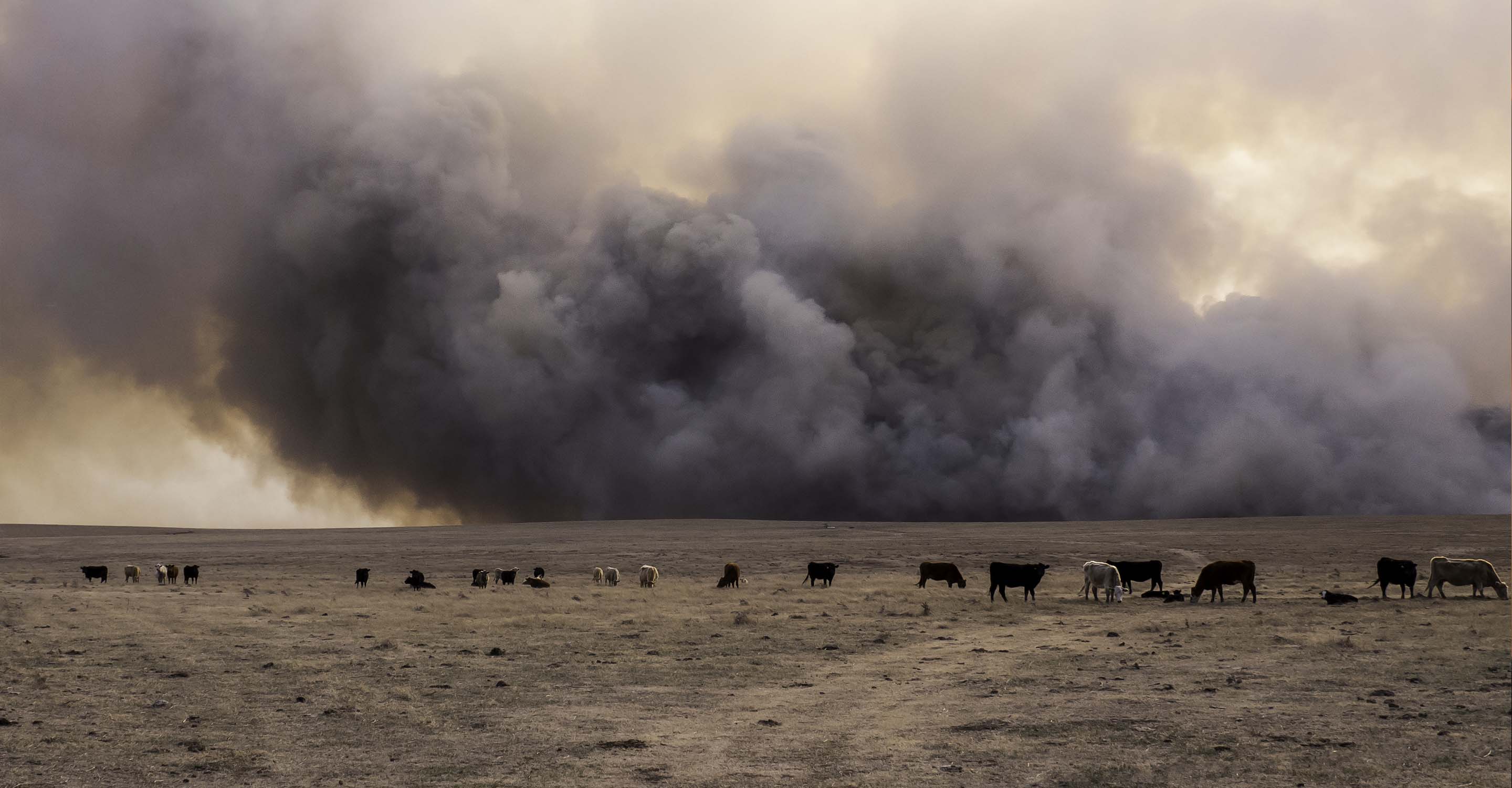
As the ratings go up from the 'moderate' ones that were mentioned above, they get increasingly darker in color, as shown on the discs with the US AQI readings present on the air quality map above in Salt Lake City. Red color codes start to indicate when the air quality levels are become outright dangerous, corresponding with its 'unhealthy' rating (151 to 200 US AQI required for being classified as such), along with purple and maroon representing the highest levels of air pollution possible, with maroon corresponding with hazardous levels of pollution present on the map. This is unlikely to be seen in any cities throughout the United States and is usually seen in some of the more intensely polluted cities around the globe that have a plethora of contributing factors (population size and growth, as well as density, use of low-quality fuels in excessive amounts, open burning of rubbish, along with geographical features such as being within a valley, or even large buildings holding particles and gases within the streets below). However, high levels of air pollution may be seen on the air quality map for Salt Lake City, particularly if there are fires taking place. Fires that are a great distance away may also interfere with pollution readings on the air quality map, as the pollutants and particles can drift many miles if the winds carry it in the right direction.
Finally, expanding on the most prominent part of what users can learn from observing the US AQI readings present on the air quality map above, is that of what the US AQI reading itself is comprised of. The US AQI figure is aggregated from a few main pollutants found in the air throughout the United States and the rest of the world, being used as such because of their extreme prevalence (in as much as they are almost universally released from all polluting sources that aren’t unique to different areas of the globe, although exceptions are always possible, particularly for the pollutants that are categorical such as the particle pollutants which are based on material size, meaning that anything can be put into these categories as long as it meets the small size criteria). The pollutants used to calculate the US AQI reading in Salt Lake City are nitrogen dioxide, ozone, sulfur dioxide, carbon monoxide, and the two aforementioned particle pollutants, PM10 and PM2.5. Out of both of these, PM2.5 is the far more dangerous of the two, being comprised of many different particles that are 2.5 micrometers or less in diameter. The larger PM10 can still present some risk to the health of those who breathe it within Salt Lake City (and it still goes towards US AQI readings, hence higher levels of larger or more coarse particles in the air such as dust or sand could elevate the pollution readings on the air quality map), but PM2.5 is small enough so that it can bypass the bodies defense systems, lodging deep within the tissue of the lungs and potentially entering into the bloodstream, which in itself is a huge issue as many dangerous materials may gather within the bodies of those who breathe enough of these microscopic pollutants, over longer periods of time.
Which people may benefit the most from becoming using the air quality map for Salt Lake City?
All members of society can benefit significantly by staying up to date on the pollution levels shown on the air quality map for Salt Lake City. However, those that may benefit even more and thus safeguard their health are groups such as pregnant women, the elderly, young children and babies. Thus, families can benefit from keeping up with the air quality map’s readings. Others that can benefit include those with pre-existing health conditions, and those with compromised immune systems or a hypersensitive disposition towards certain pollutants or chemicals within the air.
What causes higher pollution readings on the air quality map in Salt Lake City?
Whilst less prominent than in other cities worldwide that are undergoing rapid expansion and growth, the causes for air pollution remain largely the same, and the same can be said for higher pollution readings on the air quality map for Salt Lake City. Exhaust fumes from cars and motorbikes, along with other heavier freight vehicles such as trucks and lorries all contribute to ambient pollution levels (thus called because they tend to stay consistent over the year, making them more ambient as opposed to fires, which come and go much more rapidly). Emissions from factories and power plants also contribute, as well as dust and other fine particles being released from construction sites, poorly paved roads (more common outside the city center) and road repairs, all of which may throw large clouds of ultrafine particulate matter into the air.
Salt Lake City air quality data attribution
55Contributors
 16th Ave
1 station
 Freckless
1 station
- CLG
1 station
- Mile High Guy
1 station
- John Jacobson
1 station
- Olympus Cove - upper
1 station
6 Individual Contributors
 49 Anonymous contributors
49 stations
49 Anonymous Contributors
 Data validated and calibrated by IQAir
Where is the cleanest air quality in Salt Lake City?
- Sunnyside Avenue South 82
- Hawthorne 25
- Clark Planetarium 22
- Rose Park 22
- Avenues 8th Street 17
- Catherine Street West 17
- Jaren Circle 17
- Terrace Hills 16
- Parkview Drive 15
- Promontory Drive 15
- Hanover Drive 14
- Mount Olympus 14
- Northcliffe Drive 14
- Ashford Brampton way 12
- East Capitol Boulevard 12
- East Pioneer Fork Road 12
- Mountain Sun Lane 11
- Pinecrest Canyon Road 11
- Devonshire Drive 10
- 16th Ave 8
- 9th Avenue 2 8
- Filmore Street 8
- Herbert Ave 8
- O Street 8
- Rowland Hall 2 8
- South Hollywood Avenue 8
- Standel Drive 8
- Architectural Nexus 4
- Canyon Rim 4
- Capitol Hill Construction 4
- Circle at Mile High Drive 4
- Dard Hills Court 4
- Lincoln Street 4
- Lynwood Drive 4
- Michigan Ave 4
- Mohawk Circle 4
- Monza Drive 4
- North Campus Drive 4
- North Cove -Out 4
- Olympus Cove - Upper 4
- R Street 4
- Sherman Avenue 4
- Sugar House 4
- Tranquil 4
- Wasatch Hollow 4
- Whittier Elementary School 4
- Wilmy 4
- 1315 E Crandall Ave 0
- 1800 East 0
- A Street East 0
- Brockbank Drive 0
- Glenmare Street 0
- Pennsylvania Place 0
- Princeton Avenue South 0
- The Avenues 0
- Tracy Aviary 0
- Yalecrest 0
Stay Informed. Download #1 air quality app
Air pollution forecast, pollution alerts and much more to help you plan your days and keep protected against air pollution


