

116.3K people follow this city
Full screen


Contributors
2
Stations
11
Contributors category
1
Government
0
Non-profit organization
0
Educational
0
Corporate
0
Individual
1
Anonymous
Most polluted air quality stations
| # | station | US AQI |
|---|---|---|
| 1 | Kayas | 72 |
| 2 | Etlik | 68 |
| 3 | Çankaya Yaygınlaştırma | 61 |
| 4 | Bahcelievler | 59 |
| 5 | Ostim | 57 |
| 6 | Kecioren | 50 |
| 7 | Cebeci | 43 |
| 8 | Sincan | 41 |
| 9 | Torekent | 33 |
| 10 | Demetevler | 31 |
Health Recommendations
 | Enjoy outdoor activities |
 | Open your windows to bring clean, fresh air indoors GET A MONITOR |
community highlight
Ankara most followed contributors

Become a contributor
Get an AirVisual Outdoor and contribute to collecting millions of data points for the Ankara map to track local air pollution
News
The latest air quality news and resources.


Understand air pollution and protect yourself
Ankara MAP AIR QUALITY ANALYSIS AND STATISTICS
What are some of the readings in Ankara currently showing on the air quality map?
Whilst the air quality map for Ankara is constantly updated, and should thus be checked as often as possible for updates, some examples taken from readings in the beginning of August 2022 will be used as a reference point, for the purpose of informing readers and users about the levels of pollution in the form of US AQI that may be present throughout Ankara.
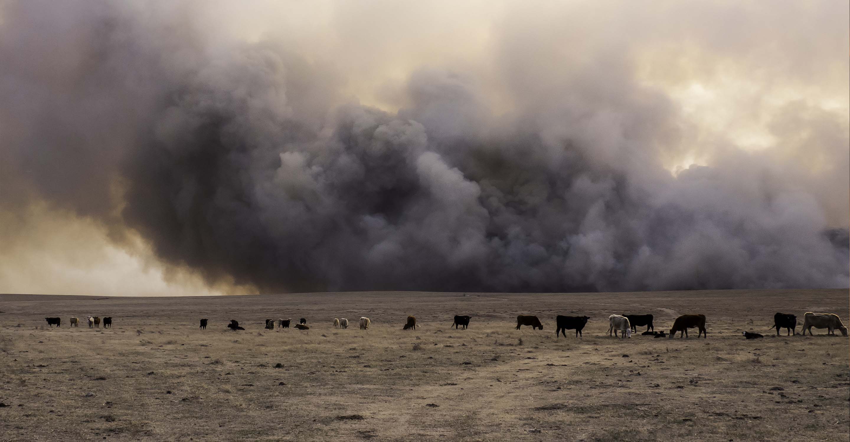
Some readings taken included US AQI figures of 33, 35, 41 and 43, all of which fell into the 'good' air quality ratings bracket (50 US AQI and below required for classification). Other readings include ones such as 55, 63 and 78, with a few active fires also being shown on the map not far from the city. These readings were up in the 'moderate' air quality rating bracket, and there were far more of them than the good reading sites shown on the air quality map. As such, Ankara was straddling the line between having more optimal levels of air quality in early August, and having higher levels of pollution (although not overtly dangerous) throughout many more areas of the city.
what information can air quality maps tell you about the air pollutants in Ankara?
When referring to the air quality maps for Ankara, the US AQI reading is displayed across the numerous air monitoring stations in use across the city. Whilst the air pollution map pages have the aforementioned bonus of having direct access to exactly which areas of the city are pollution hotspots, as well as having a constant update coming through to these air quality maps, they do not show the pollution concentration levels that are seen on the regular city page for Ankara. However, this does not mean that one cannot get a clearer picture of the types of pollutants, whether they are chemical compounds in the form of gasses or a variety of ultrafine particles. The US AQI reading itself is an aggregate of the various main pollutants found in the air throughout Ankara, with some of these pollutants being sub-categories under which a multitude of different materials can fall, depending on their size (with smaller particles being of considerably more danger than other ones).
For some added insight into the pollutants that one may be exposed to when referring to the air quality maps in Ankara, the main ones used to calculate the US AQI figure are ozone, nitrogen dioxide, sulfur dioxide, carbon monoxide, and the two categories of particle pollution. PM2.5 and PM10. When the US AQI level is shown to be high on the air quality map at any given area throughout Ankara, then typically there will be a higher concentration of these pollutants in the atmosphere. Air quality maps display the US AQI reading because it encompasses the main pollutants in the air, and whilst there are many, many others, these are the main ones that people are exposed to when the readings on the air pollution maps are high in any given area throughout Ankara.
Can the air quality map help prevent illnesses caused by pollution in Ankara?
Air pollution maps in Ankara can help to drastically reduce any health conditions that are both caused, or may be aggravated by exposure to higher quantities of smoke, haze and other hazardous clouds of fine particulate matter, all of which will show up in the form of higher US AQI readings on the air quality map for Ankara. In regards to health conditions, some can be caused by direct exposure to chemical compounds in the air, as well as particle-based pollution, whilst in the case of aggravation, people with potential pre-existing conditions (some of which may be life-long ones that they suffer from, with asthma being a prime example) will have these health issues made significantly worse. The US AQI readings present throughout the whole of Ankara as shown on the air quality maps can show you exactly where the spikes in pollution are occurring, because this is the main benefit that air quality map pages have over regular city pages.
Whilst this has been touched on briefly in the rest of the article, it is important to reiterate that when air quality maps are referred to, they have a distinct advantage of not just showing the air quality average reading, in the form of US AQI as well as PM2.5 concentrations. City pages may help you to get a better understanding of when a city has a high average, but air quality map pages will show you exactly where the air pollution occurs, along with numerous other benefits that can help to reduce health conditions amongst the citizens, both new and pre-existing, in Ankara. Additional information regarding these benefits will be covered in further detail in other questions throughout the article.
Regarding the health issues that air pollution maps and air quality maps can help to both prevent or reduce, they include ones that predominantly affect both the pulmonary and cardiac systems, both of which are more severely affected by continuous breathing of highly polluted air, especially during spikes of pollution which can occur at many different times throughout the year. Pulmonary conditions are more well known as primary illnesses caused by air pollution exposure, with dry coughs, irritation to the upper and lower respiratory tract (which in some cases can lead to infections of the throat as well as the chest, which can hold grave consequences for those in poor health or even the elderly), along with aggravating the exposed mucous membranes, which includes the mouth, eyes and ears. When the pollution readings are high on the air quality maps in Ankara, there will be a tendency for the general population to start experiencing a higher rate of these adverse effects, with hospital admissions going up significantly, along with other issues that can affect society as a whole such as premature deaths being directly related to high pollution levels, along with babies being born prematurely or with low birth weight, along with a higher potential for miscarriage.
As the air quality maps in Ankara can show you exactly where the pollution is occurring and when, they are of great help in keeping individuals safe, and can be an indicator of what actions may need to be taken if one is in an area that shows dangerous levels of air pollution. Of note is that even for cities that have much cleaner levels of air quality, or times of the day or indeed the year when the air quality shows improvement in Ankara, it is important to remember that sudden elevations can occur due to a myriad of reasons (also discussed in the article). By referring to the air quality maps in Ankara consistently, one can therefore help lessen the more severe side effects that constant air pollution brings, and in some cases when appropriate action is taken, cause health problems to disappear entirely (this may occur when the air quality map is consulted and areas that show consistently lower levels of air pollution become places that one can move to, thereby avoiding some of the more severe consequences brought about by living in parts of Ankara that have higher US AQI readings on the air pollution maps throughout the whole year.
Which people may find the air quality map more beneficial in Ankara?
Whilst all of the population will benefit in one way or another from referring to the air pollution map and city pages for Ankara, there are certain groups of more vulnerable or at-risk people that should go to greater length to ensure that pollution within the air does not bring them further harm and poorer health. This includes groups such as young children and babies, along with the elderly, all of whom are susceptible to the negative changes brought about on a physiological level by air pollution exposure. Other groups include pregnant women, those with pre-existing health conditions, as well as those with ailing or compromised immune systems.
Ankara air quality data attribution
2Contributors
 SIM (Continuous Monitoring Center)
10 stations
Government Contributor
 1 Anonymous contributor
1 station
Anonymous Contributor
2 Data sources
 Data validated and calibrated by IQAir
Where is the cleanest air quality in Ankara?
Stay Informed. Download #1 air quality app
Air pollution forecast, pollution alerts and much more to help you plan your days and keep protected against air pollution


